
Maps Collection
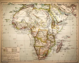
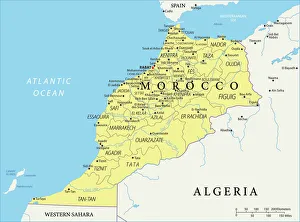
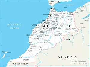
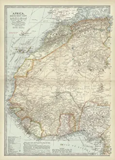
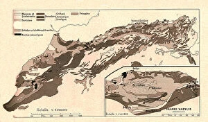
Morocco is a country located in North Africa, bordered by the Atlantic Ocean and Mediterranean Sea, and is home to a diverse array of landscapes
Choose a picture from our Maps Collection for your Wall Art and Photo Gifts
152 items


All Professionally Made to Order for Quick Shipping
-
Maps Collection
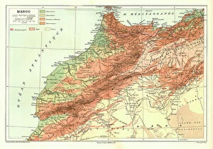
Morocco is a country located in North Africa, bordered by the Atlantic Ocean and Mediterranean Sea, and is home to a diverse array of landscapes, from the snow-capped Atlas Mountains to the Sahara Desert. Maps of Morocco are essential for travelers who want to explore this fascinating country. They provide an overview of the major cities and regions, as well as detailed information about roads, airports, attractions and more and are help visitors find their way around unfamiliar areas and plan their itinerary accordingly. With its unique culture and stunning scenery, Morocco is an ideal destination for those looking for an unforgettable experience in Africa.
+
Our beautiful pictures are available as Framed Prints, Photos, Wall Art and Photo Gifts
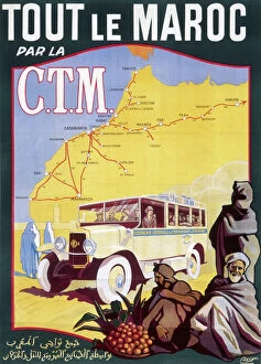
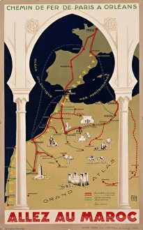
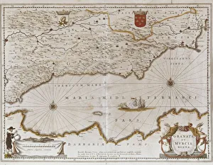
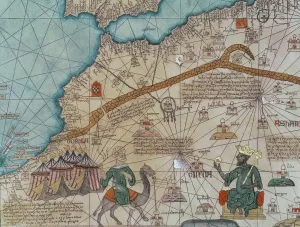
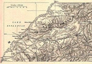
The Maps of Morocco Africa collection from Media Storehouse offers a stunning array of wall art and framed prints that showcase the beauty and diversity of this North African country. Our collection features a range of maps, including antique maps dating back to the 16th century, as well as more modern depictions that highlight Morocco's cities, regions, and topography. Each print is carefully crafted using high-quality materials such as archival paper and inks to ensure longevity and vibrancy. Our collection includes both black-and-white and color options, allowing customers to choose the perfect piece for their decor style. Whether you're looking for a striking centerpiece for your living room or an eye-catching addition to your office space, the Maps of Morocco Africa collection has something for everyone. With its rich history, vibrant culture, and breathtaking landscapes, Morocco is truly a treasure trove of inspiration - one that is beautifully captured in these stunning prints.
+
What are Maps of Morocco Africa art prints?
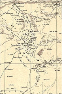
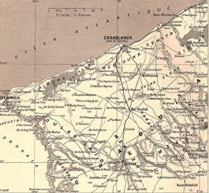
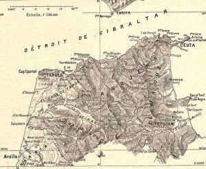
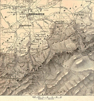
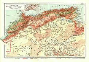
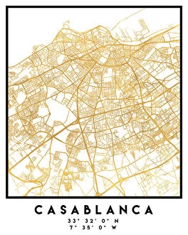
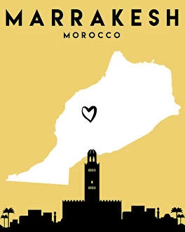
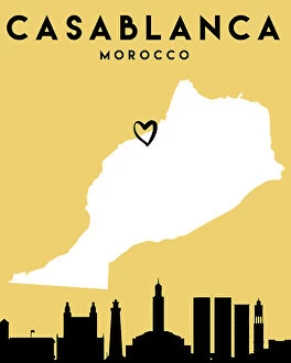
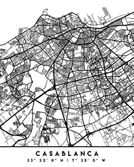
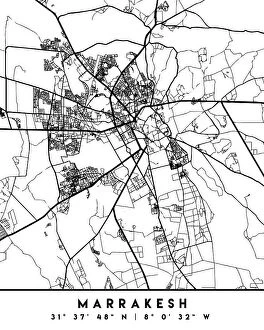
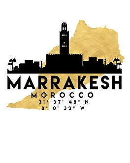
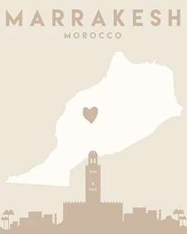
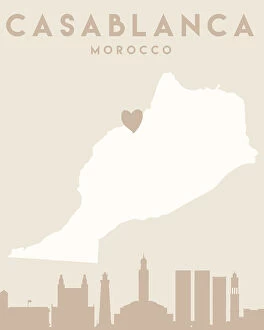
Maps of Morocco Africa art prints are beautiful and intricate depictions of the country's geography, landmarks, and cultural heritage. These prints showcase the diverse landscapes of Morocco, from its rugged mountains to its sandy deserts and lush oases. They also highlight important cities such as Marrakech, Casablanca, and Rabat along with historical sites like the ancient Roman ruins at Volubilis. These maps are not only visually stunning but also informative as they provide valuable information about Morocco's history, culture, and topography. They make for great decorative pieces in homes or offices that celebrate Moroccan heritage or serve as educational tools for students studying geography or world cultures. We offer a wide range of Maps of Morocco Africa art prints in various sizes and styles to suit different preferences. Whether you prefer vintage-style maps or modern interpretations with bold colors and typography, there is something for everyone in their collection.
+
What Maps of Morocco Africa art prints can I buy from Media Storehouse?
We offer a wide range of Maps of Morocco Africa art prints that you can buy. These maps are perfect for anyone who loves the history and geography of Morocco, or simply wants to add some unique artwork to their home or office. The collection includes antique maps from the 17th century as well as more modern ones, so there is something for everyone's taste. Some of the most popular Maps of Morocco Africa art prints include detailed topographical maps that show the country's mountains, rivers, and other natural features. There are also political maps that highlight major cities and landmarks such as Casablanca, Marrakech, and Fez. In addition to traditional paper prints, Media Storehouse also offers canvas prints that give your map a textured look and feel. Whether you're looking for a small print to hang on your wall or a large statement piece for your living room, we have plenty of options to choose from.
+
How do I buy Maps of Morocco Africa art prints?
To buy Maps of Morocco Africa art prints from Media Storehouse, you can browse our extensive collection of maps and select the one that suits your requirements. You can choose from a range of sizes and formats such as canvas, framed or unframed prints. Once you have selected the print, simply add it to your cart and proceed to checkout. At checkout, you will be prompted to enter your shipping address and payment details. We accept various modes of payment including credit/debit cards and PayPal. Once your order is confirmed, they will process it promptly and ship it out to you. The delivery time may vary depending on your location but rest assured that they strive to deliver all orders in a timely manner. Buying Maps of Morocco Africa art prints from Media Storehouse is easy and hassle-free. With their vast selection of high-quality prints at affordable prices, you are sure to find the perfect addition for your home or office décor.
+
How much do Maps of Morocco Africa art prints cost?
We offer a wide range of Maps of Morocco Africa art prints at varying prices. The cost of these prints depends on several factors such as the size, quality, and type of print you choose. We have different options available including canvas prints, framed prints, and photographic prints which all come with their unique pricing. Our Maps of Morocco Africa art prints are perfect for those who want to add some cultural flair to their home or office space. They feature intricate details that showcase the beauty and diversity of this African country's landscapes and landmarks. We take pride in offering high-quality products that meet our customers' needs while also providing excellent value for money. Whether you're looking for a small print or a large one to make a bold statement in your living room, we have something for everyone at Media Storehouse.
+
How will my Maps of Morocco Africa art prints be delivered to me?
We take great care in delivering your Maps of Morocco Africa art prints to you. We use a reliable and secure delivery service that ensures your artwork arrives safely and on time. All our prints are carefully packaged using high-quality materials to protect them during transit. Once your order is processed, we will dispatch it promptly from our warehouse. Depending on the shipping method you choose at checkout, your print may be delivered by standard mail or courier service. You can track the progress of your delivery online using the tracking number provided. We understand how important it is for you to receive your artwork in perfect condition, which is why we offer a 100% satisfaction guarantee on all our products. If for any reason you are not completely satisfied with your purchase, please contact us and we will do everything possible to resolve the issue quickly and efficiently. When you order Maps of Morocco Africa art prints from Media Storehouse, you can expect fast and reliable delivery with excellent customer service every step of the way.