Fraud Blocker Skip to main content

Home > Fine Art Storehouse > Images Dated > 2019 > January > 30 Jan 2019

Images Dated 30th January 2019

Choose a picture from our Images Dated 30th January 2019 Collection for your Wall Art and Photo Gifts

350 items

We are proud to offer this selection in partnership with Fine Art Storehouse

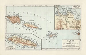
Background imageImages Dated 30th January 2019: Map of Samoan islands: Savai i, Upolu, and Tutuila, lithograph, 1897

Map of Samoan islands: Savai i, Upolu, and Tutuila, lithograph, 1897
Topographic map of Samoan islands: Savai i, Upolu, Tutuila (American Samoa) and separate maps of Upolu and the port of Apia. Lithograph, published in 1897

Background imageImages Dated 30th January 2019: Cuba map 1896

Cuba map 1896
Andres Allgemeiner Handatlas - Bielefeld und Leipzig 1896

Background imageImages Dated 30th January 2019: Map of Scotland 1889

Map of Scotland 1889
Comprehensive Geography by James Monteith - American Book Company 1882, 1889

Background imageImages Dated 30th January 2019: Couple In A Doorway

Couple In A Doorway
circa 1890: A woman carrying a milk pail and a stool talking to a bearded man over a stable door near Whitby. (Photo by Frank Meadow Sutcliffe/Getty Images)

Background imageImages Dated 30th January 2019: Map of Kingdom of Poland from 18th century

Map of Kingdom of Poland from 18th century
Illustration of a Map of Kingdom of Poland from 18th century

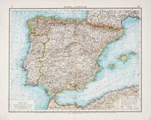
Background imageImages Dated 30th January 2019: Map of Spain and Portugal 1896

Map of Spain and Portugal 1896
Andres Allgemeiner Handatlas - Bielefeld und Leipzig 1896

Background imageImages Dated 30th January 2019: Map of ancient Athens

Map of ancient Athens
Illustration from 19th century

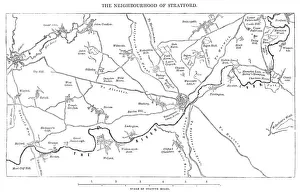
Background imageImages Dated 30th January 2019: Old Map of the Stratford-on-Avon District of England circa 16th Century

Old Map of the Stratford-on-Avon District of England circa 16th Century
Old map of Stratford-upon-Avon and surrounding villages of the Stratford-on-Avon District, England from the Works of William Shakespeare. Vintage etching circa mid 19th century

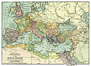
Background imageImages Dated 30th January 2019: Map of the Roman Empire 1889

Map of the Roman Empire 1889
Comprehensive Geography by James Monteith - American Book Company 1882, 1889

Background imageImages Dated 30th January 2019: Map of Denmark, Southern Norway and Southern Sweden, lithograph, 1897

Map of Denmark, Southern Norway and Southern Sweden, lithograph, 1897
Topographic map of Denmark, Southern Norway and Southern Sweden. Lithograph, published in 1897

Background imageImages Dated 30th January 2019: Map of Arkansas 1893

Map of Arkansas 1893
New Pocket Atlas / Rand, McNally & Co -1893

Background imageImages Dated 30th January 2019: Map of USA - East of Mississippi river 1876

Map of USA - East of Mississippi river 1876
Maurys Geographical Series - The Word we live in by M.F. Maury LLD - New York and Baltimore 1876

Background imageImages Dated 30th January 2019: Map of Western states USA 1876

Map of Western states USA 1876
Maurys Geographical Series - The Word we live in by M.F. Maury LLD - New York and Baltimore 1876

Background imageImages Dated 30th January 2019: Map of France 1889

Map of France 1889
Comprehensive Geography by James Monteith - American Book Company 1882, 1889

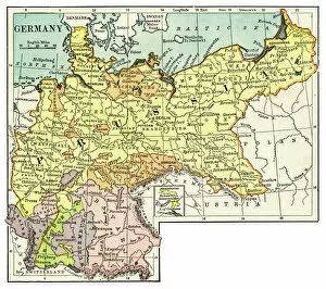
Background imageImages Dated 30th January 2019: Map of Germany 1889

Map of Germany 1889
Comprehensive Geography by James Monteith - American Book Company 1882, 1889

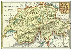
Background imageImages Dated 30th January 2019: Map of Switzerland 1889

Map of Switzerland 1889
Comprehensive Geography by James Monteith - American Book Company 1882, 1889

Background imageImages Dated 30th January 2019: Lesser Antilles map 1896

Lesser Antilles map 1896
Andres Allgemeiner Handatlas - Bielefeld und Leipzig 1896

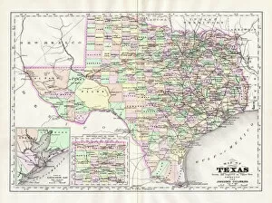
Background imageImages Dated 30th January 2019: Map of Texas 1894

Map of Texas 1894
Johnsons Universal Cyclopedia - Volume VIII New York - A. J. Johnson Company 1894

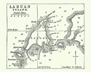
Background imageImages Dated 30th January 2019: Map of Labuan Island, Malaysia, 19th Century

Map of Labuan Island, Malaysia, 19th Century
Vintage engraving of Map of Labuan Island, Malaysia, 19th Century

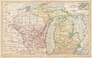
Background imageImages Dated 30th January 2019: Map of Michigan and Wisconsin 1877

Map of Michigan and Wisconsin 1877
The Eclectic Elementary Geography by Wilson & Hinkle / Cincinnati -New York 1881

Background imageImages Dated 30th January 2019: Sardinia and Sicily map 1896

Sardinia and Sicily map 1896
Andres Allgemeiner Handatlas - Bielefeld und Leipzig 1896

Background imageImages Dated 30th January 2019: Map of Turkey and Greece 1894

Map of Turkey and Greece 1894
Johnsons Universal Cyclopedia - Volume VIII New York - A. J. Johnson Company 1894

Background imageImages Dated 30th January 2019: Map of Africa 1900

Map of Africa 1900
Meyers hand-Atlas Leipzig und Wien Verlag des Bibliographischen Instituts 1900

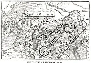
Background imageImages Dated 30th January 2019: woodcut map illustration of Newark Earthworks, Ohio

woodcut map illustration of Newark Earthworks, Ohio
Woodcut map of Newark Earthworks, Ohio, USA. Built during Hopewell culture. 1889 facsimile of 1862 map in Prehistoric Man by Daniel Wilson

Background imageImages Dated 30th January 2019: Map of South Dakota 1894

Map of South Dakota 1894
Johnsons Universal Cyclopedia - Volume IV New York - A. J. Johnson Company 1894

Background imageImages Dated 30th January 2019: Maps of Battle of Leipzig, Napolionic wars, 1813, published 1897

Maps of Battle of Leipzig, Napolionic wars, 1813, published 1897
Maps of the Battle of the Nations near Leipzig from 16 to 19 October 1813, Saxony, Germany. Wood engravings, published in 1897

Background imageImages Dated 30th January 2019: Map New York and vicinities 1889

Map New York and vicinities 1889
Comprehensive Geography by James Monteith - American Book Company 1882, 1889

Background imageImages Dated 30th January 2019: Map of Wurttemberg, historical German territory

Map of Wurttemberg, historical German territory
Illustration of a Map of Wurttemberg, historical German territory

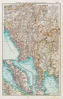
Background imageImages Dated 30th January 2019: Map of Burma and Malay Peninsula 1896

Map of Burma and Malay Peninsula 1896
Andres Allgemeiner Handatlas - Bielefeld und Leipzig 1896

Background imageImages Dated 30th January 2019: Map of Japan 1896

Map of Japan 1896
Andres Allgemeiner Handatlas - Bielefeld und Leipzig 1896

Background imageImages Dated 30th January 2019: Map of Eastern hemisphere 1871

Map of Eastern hemisphere 1871
Colton and Fitchs Introductory School Geography - New York: Sheldon and Company 1871

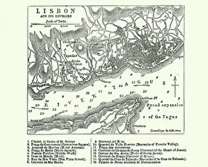
Background imageImages Dated 30th January 2019: Map of Lisbon, Portugal, 19th Century

Map of Lisbon, Portugal, 19th Century
Vintage engraving of a Map of Lisbon, Portugal, 19th Century

Background imageImages Dated 30th January 2019: Cathedral of Notre-Dame, Paris, France

Cathedral of Notre-Dame, Paris, France
View of the 12th century Cathedral of Notre-Dame in Paris, France, with the Seine River. From " French Pictures: Drawn With Pen and Pencil" by the Rev. Samuel G. Green, D.D

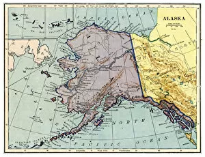
Background imageImages Dated 30th January 2019: Map of Alaska 1889

Map of Alaska 1889
Comprehensive Geography by James Monteith - American Book Company 1882, 1889

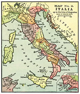
Background imageImages Dated 30th January 2019: Map of Italy in the times of Augustus 1889

Map of Italy in the times of Augustus 1889
Comprehensive Geography by James Monteith - American Book Company 1882, 1889

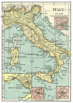
Background imageImages Dated 30th January 2019: Map of Italy 1889

Map of Italy 1889
Comprehensive Geography by James Monteith - American Book Company 1882, 1889

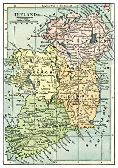
Background imageImages Dated 30th January 2019: Map of Ireland 1889

Map of Ireland 1889
Comprehensive Geography by James Monteith - American Book Company 1882, 1889

Background imageImages Dated 30th January 2019: Map of Oregon and northwestern territories 1883

Map of Oregon and northwestern territories 1883
The Eclectic Elementary Geography by Van Antwerp, Bragg & C0 / Cincinnati -New York 1883

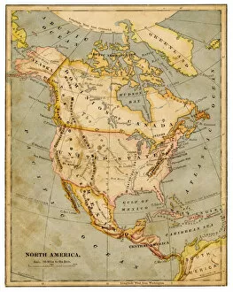
Background imageImages Dated 30th January 2019: Map of North America 1883

Map of North America 1883
The Eclectic Elementary Geography by Van Antwerp, Bragg & C0 / Cincinnati -New York 1883

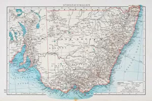
Background imageImages Dated 30th January 2019: Map of South australia 1896

Map of South australia 1896
Andres Allgemeiner Handatlas - Bielefeld und Leipzig 1896

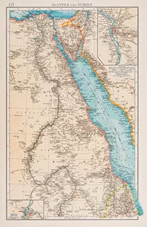
Background imageImages Dated 30th January 2019: Map of Egypt and Sudan 1896

Map of Egypt and Sudan 1896
Andres Allgemeiner Handatlas - Bielefeld und Leipzig 1896

Background imageImages Dated 30th January 2019: Map of Tennessee 1894

Map of Tennessee 1894
Johnsons Universal Cyclopedia - Volume VIII New York - A. J. Johnson Company 1894

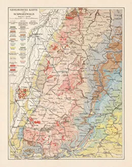
Background imageImages Dated 30th January 2019: Geological map of the Black Forest, Baden-Wurttemberg, Germany, lithograph, 1897

Geological map of the Black Forest, Baden-Wurttemberg, Germany, lithograph, 1897
Geological map of the Black Forest, Baden-Wurttemberg, Germany. Lithograph, published in 1897

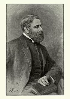
Background imageImages Dated 30th January 2019: Arthur Bell Nicholls, Charlotte Brontes husband

Arthur Bell Nicholls, Charlotte Brontes husband
Vintage engraving of Arthur Bell Nicholls, Charlotte Brontes husband. Between 1845 and 1861 Nicholls was one of Patrick Brontes curates and was married to his eldest surviving child, Charlotte

Background imageImages Dated 30th January 2019: Map of Palestine 1889

Map of Palestine 1889
Comprehensive Geography by James Monteith - American Book Company 1882, 1889

Background imageImages Dated 30th January 2019: Map of Greece in the Heroic age 1889

Map of Greece in the Heroic age 1889
Comprehensive Geography by James Monteith - American Book Company 1882, 1889

Background imageImages Dated 30th January 2019: Map of Austro-Hungarian monarchy 1889

Map of Austro-Hungarian monarchy 1889
Comprehensive Geography by James Monteith - American Book Company 1882, 1889

Background imageImages Dated 30th January 2019: Map of China and Japan 1889

Map of China and Japan 1889
Comprehensive Geography by James Monteith - American Book Company 1882, 1889


All Professionally Made to Order for Quick Shipping


-

Why Choose Us?

We are a leading provider of Art Prints and Photo Gifts since 2004, working in partnership with a range of Sporting Clubs, Charities, Museums and Picture Libraries. A large share of profits from any of their images will go directly towards supporting that charity or club. Our archive of images is carefully curated to bring you a wide range of subjects, including landscapes, wildlife, architecture, and more. We ship from our partner labs in the UK, USA, EU (Netherlands) and Australia.
+

How do I place an order?

Ordering is quick & easy - Just follow 5 Simple Steps:
  1. Find your image: Use our search box or browse our online photo Collections to find the image you want.

  2. Choose your print format: Select your desired product and add it to your cart.

  3. Enter your details: If you're a returning customer, simply enter your email address and password, and we'll fill in your billing and shipping address details. All personal details are held securely and are fully GDPR compliant. As standard, we remove all Personally Identifiable Information after 12 months.

  4. Pay for your purchase: We use state-of-the-art security for online shopping and do not have access to your card details.

  5. Sit back and relax: We'll email you confirmation of your order and when it's dispatched. Registered customers can also track orders in the 'My Account' area.

+

How do I pay for an order?

You can pay for your order with most of the major credit and debit cards, or PayPal. For added security, major financial institutions process payment details separately and securely on our behalf. We do not have access to your online payment card details. Online payments are preferred however we do take phone orders. For UK customers only we accept cheques issued against a UK bank.
+

Is my data safe?

We take data security very seriously. We do not have access to your full card details and all payments are requested over a fully secure connection. Additionally, we fully comply with current European and GDPR legislation, and automatically remove all personal data after at most 12 months (unless you have an account with us and have signed in recently). We also have a strict opt-in policy and would never sell your personal details. Your data is only used to fulfill your order promptly and efficiently.
+

Is wall art ready to hang?

For quick and easy installation all wall art, including framed prints, canvas prints and metal prints are supplied with a ready to hang solution on the back. Generally, saw tooth hangers are applied as they allow wall art to hang flush against the wall. The serrated edge of the hanger prevents the frame from shifting or tilting when hung.
+

Are the photo prints fade resistant?

Yes, we use archival quality photo paper photographic paper for vivid reproduction Prints are an accurate representations of the original artwork, which is preserved for artistic character and authenticity. We guarantee they match previews shown on our web site