Home > North America > United States of America > New York > New York > Maps
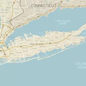
North Eastern States USA map 1881

![]()
Wall Art and Photo Gifts from Fine Art Storehouse
North Eastern States USA map 1881
Coltons Common School Geography 1881 New York Sheldon and Co
Unleash your creativity and transform your space into a visual masterpiece!
THEPALMER
Media ID 13669279
© This content is subject to copyright
American Culture Connecticut Globe Navigational Equipment Maryland State New Jersey New York State North America Paper Pennsylvania Planet Earth Vermont Virginia Us State World Map
FEATURES IN THESE COLLECTIONS
> Fine Art Storehouse
> The Magical World of Illustration
> Palmer Illustrated Collection
> Fine Art Storehouse
> Map
> Historical Maps
> Fine Art Storehouse
> Map
> USA Maps
> Maps and Charts
> Early Maps
> Maps and Charts
> World
> North America
> United States of America
> Connecticut
> Related Images
> North America
> United States of America
> Maps
> North America
> United States of America
> Maryland
> Related Images
> North America
> United States of America
> New Jersey
> Related Images
> North America
> United States of America
> New York
> New York
> Maps
> North America
> United States of America
> Pennsylvania
> Related Images
> North America
> United States of America
> Vermont
> Related Images
EDITORS COMMENTS
This print captures a beautifully detailed map of the North Eastern States in the USA, dating back to 1881. Taken from Coltons Common School Geography, published by Sheldon and Co in New York, this antique piece showcases the rich history of cartography and American culture. The engraving is meticulously crafted, with intricate lines and delicate shading that bring each state to life. From New Jersey to Pennsylvania, from Connecticut to Maryland State, this map provides a glimpse into how these regions appeared over a century ago. The inclusion of navigational equipment such as globes adds an element of exploration and adventure to the image. It reminds us of a time when maps were essential tools for understanding our planet's physical geography. Printed on high-quality paper, this illustration has stood the test of time and still retains its charm today. Its vertical orientation allows it to be easily displayed in any space – whether it be an office or a living room. As we gaze upon this vintage masterpiece, we are transported back in time; imagining what life was like during that era. The North Eastern States map serves as both a historical artifact and a work of art - reminding us of our connection to the past while also celebrating the beauty found within our world.
MADE IN AUSTRALIA
Safe Shipping with 30 Day Money Back Guarantee
FREE PERSONALISATION*
We are proud to offer a range of customisation features including Personalised Captions, Color Filters and Picture Zoom Tools
SECURE PAYMENTS
We happily accept a wide range of payment options so you can pay for the things you need in the way that is most convenient for you
* Options may vary by product and licensing agreement. Zoomed Pictures can be adjusted in the Cart.