Home > North America > Canada > Maps
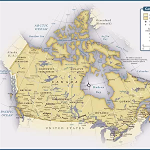
Canada map 1883

![]()
Wall Art and Photo Gifts from Fine Art Storehouse
Canada map 1883
The World-Wide Atlas of Modern Geography, Political and Physical W. & A.K. Johnston - London 1897
Unleash your creativity and transform your space into a visual masterpiece!
THEPALMER
Media ID 14757138
© Roberto A Sanchez
Atlas Canada Country Geographic Area Direction Earth North Paper Patina Rusty Sepia Toned Textured Effect West Direction World Map Newfoundland Retro Styled
FEATURES IN THESE COLLECTIONS
> Europe
> United Kingdom
> England
> London
> Related Images
> Fine Art Storehouse
> Map
> Historical Maps
> Maps and Charts
> Early Maps
> Maps and Charts
> World
> North America
> Canada
> Maps
EDITORS COMMENTS
This print showcases a vintage map of Canada from the year 1883, taken from "The World-Wide Atlas of Modern Geography" by W. & A. K. Johnston in London, 1897. The retro-styled image exudes an antique charm with its engraved design and rusty patina, evoking a sense of nostalgia for the days when cartography was meticulously crafted by hand. The map itself is rich in detail, depicting the country's geographic area with precision and accuracy. From the rugged coastlines of Newfoundland to the vast expanses of land stretching towards the west direction, this piece offers a glimpse into Canada's past while also serving as a reminder of its enduring beauty. The textured effect adds depth to the print, giving it an authentic feel reminiscent of old paper that has weathered through time. Sepia-toned hues further enhance its vintage appeal, transporting viewers back to an era long gone. Whether displayed in a home or office setting, this print will undoubtedly become a conversation starter. It serves as both an educational tool and a work of art—a testament to human ingenuity and our fascination with exploring Earth's diverse landscapes.
MADE IN AUSTRALIA
Safe Shipping with 30 Day Money Back Guarantee
FREE PERSONALISATION*
We are proud to offer a range of customisation features including Personalised Captions, Color Filters and Picture Zoom Tools
SECURE PAYMENTS
We happily accept a wide range of payment options so you can pay for the things you need in the way that is most convenient for you
* Options may vary by product and licensing agreement. Zoomed Pictures can be adjusted in the Cart.