
1570 Edition Collection
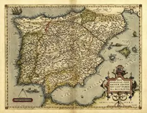
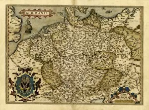
In the year 1570, Abraham Ortelius unveiled a series of remarkable maps that would forever change our understanding of the world


All Professionally Made to Order for Quick Shipping
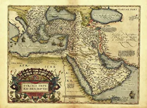
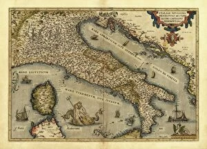
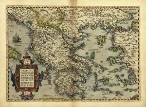
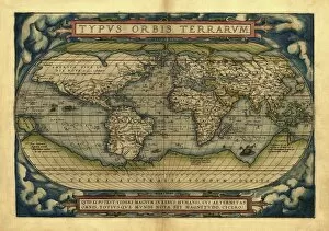
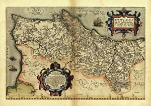
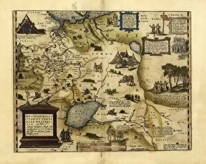
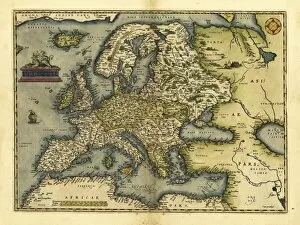
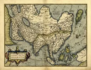
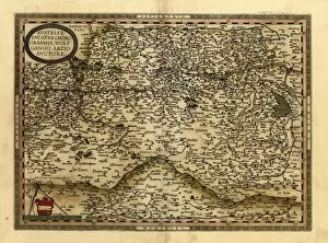
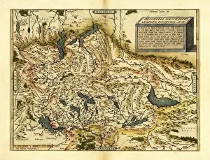
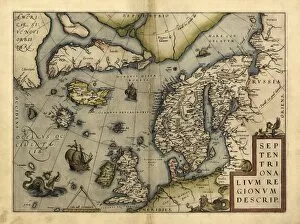
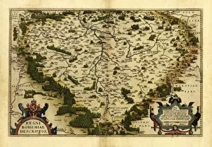
In the year 1570, Abraham Ortelius unveiled a series of remarkable maps that would forever change our understanding of the world. From his detailed depiction of the Ottoman Empire to his intricate rendering of Italy, Poland, Greece, Holland, Portugal, Denmark, European Russia and France - Ortelius left no corner of Europe untouched by his cartographic genius. But it was not just Europe that fascinated this pioneering mapmaker. His ambitious World Map in 1570 showcased an unprecedented level of accuracy and detail for its time. With each stroke of his pen and brushstroke on parchment, Ortelius transported viewers to distant lands across Asia - unveiling a rich tapestry of cultures and civilizations. Ortelius's maps were more than mere geographical representations; they were windows into history itself. Through these meticulously crafted works, one could trace the rise and fall of empires, follow ancient trade routes that connected continents and witness the ever-changing political boundaries that shaped our world. The 1570 edition stands as a testament to Ortelius's commitment to precision and innovation, and is a timeless reminder that even in an era without satellites or GPS technology, human ingenuity can unlock the secrets hidden within our vast planet. Today we may take for granted the ease with which we navigate through Google Maps or explore foreign lands through virtual tours. But let us not forget those like Abraham Ortelius who paved the way for our modern understanding of geography. The legacy he left behind in his magnificent collection from 1570 continues to inspire explorers both young and old to embark on their own journeys - whether physical or intellectual - in search of knowledge about our beautiful world.