
19th Century Style Collection (page 9)
Step back in time with the enchanting 19th century style, where elegance and sophistication reigned supreme


All Professionally Made to Order for Quick Shipping
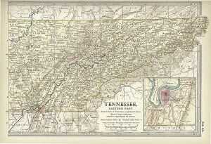
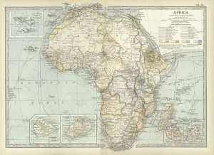
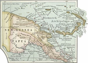
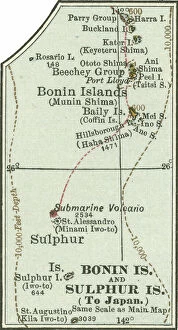
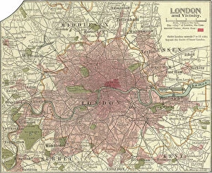
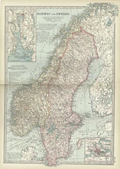
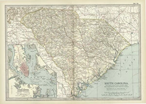
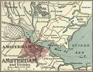
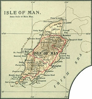
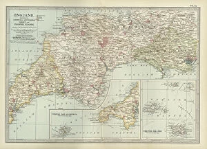
Step back in time with the enchanting 19th century style, where elegance and sophistication reigned supreme. Transport yourself to a bygone era with the iconic Railway Children original UK one-sheet poster, capturing the essence of this timeless period. Jenny Agutter's captivating performance in The Railway Children (1970) epitomizes the grace and poise that defined this era. Immerse yourself in nature's beauty with the majestic Monkey puzzle tree (araucaria imbricata), a symbol of strength and resilience that graced many Victorian gardens. Discover the elusive Thylacinus cynocephalus, also known as the Tasmanian Tiger or Thylacine, an intriguing creature from this era shrouded in mystery. Indulge in tales of aristocracy and intrigue through Kind Hearts And Coronets, a classic film showcasing opulent costumes and lavish settings reminiscent of high society during this period. Explore Whitby through an exquisite map that transports you to its picturesque streets lined with charming cottages and historic landmarks. Uncover history's secrets through antique maps like Ireland's intricate cartography or Tasmania's rugged coastlines; each telling stories of exploration and discovery. Delve into human anatomy with detailed illustrations depicting our backbone including ribs and pelvis - a testament to scientific advancements during this time. Marvel at antique colored illustrations such as Geological map of England and Wales, which showcase not only geological wonders but also highlight artistic craftsmanship prevalent throughout the 19th century. Let The Railway Children whisk you away on a nostalgic journey filled with innocence, adventure, and heartfelt moments that capture the spirit of this remarkable era. Finally, immerse yourself in Heroes Of The Trojan War - tales passed down through generations embodying bravery amidst epic battles - reminding us that even centuries later these stories continue to captivate our imagination. Embrace all things 19th century style.