
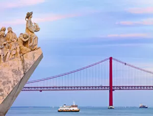
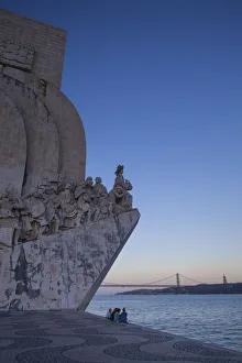
Age Of Discovery Collection
The Age of Discovery, a remarkable era in history, was characterized by the exploration and mapping of new territories


All Professionally Made to Order for Quick Shipping
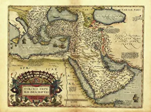
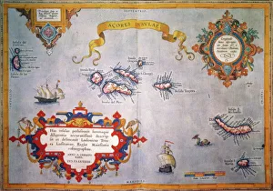
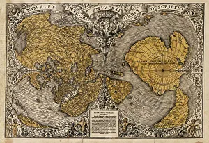
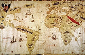
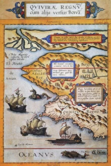
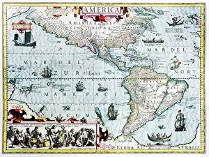
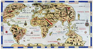
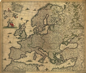
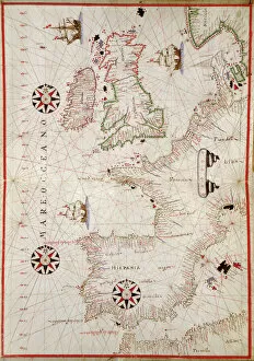
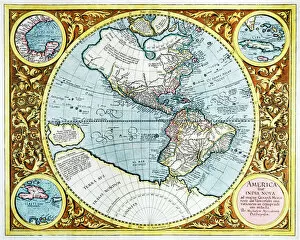
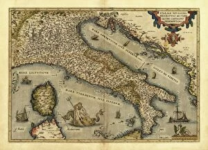
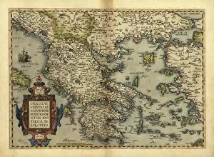
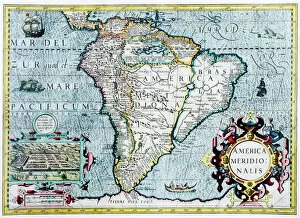
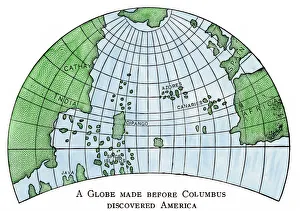
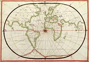
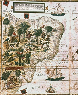
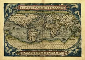
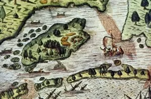
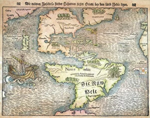
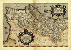
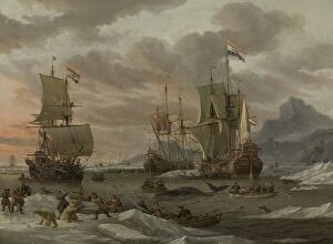
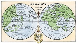
The Age of Discovery, a remarkable era in history, was characterized by the exploration and mapping of new territories. Maps from this period provide glimpses into the vast knowledge gained during these expeditions. Ortelius's map of the Ottoman Empire in 1570 showcases the intricate details and boundaries of this powerful empire, and is a testament to the expanding horizons and growing curiosity of explorers during this time. Captain John Smith's map of Virginia in 1612 offers insights into early English colonization efforts in North America. This detailed depiction highlights the challenges faced by settlers as they navigated unfamiliar lands. Abraham Ortelius' engraved Azores map from around 1584 provides an intriguing glimpse into one of Europe's most important maritime regions. The accuracy and precision displayed on this map demonstrate advancements made in cartography during this age. Oronce Fine's world map from 1531 presents a fascinating perspective on global geography at that time. Its inclusion of newly discovered lands reflects how explorers were continuously pushing boundaries and uncovering previously unknown territories. Juan Vespucci's world map from 1526, based on his uncle Amerigo Vespucci's voyages, contributes to our understanding of early European exploration across continents. This significant document sheds light on how discoveries were being disseminated throughout Europe. The Cantino World Map from 1502 reveals Western half geographical knowledge at that time, showcasing Portuguese discoveries along with other European nations' contributions to expanding geographic understanding. A seventeenth-century New World map illustrates how Europeans gradually began comprehending the vastness and diversity present within these uncharted lands. It serves as a reminder that every voyage brought forth new information about these mysterious territories. A Map of Europe dating back to 1700 captures political borders amidst shifting alliances during an era marked by territorial disputes among European powers. Such maps played crucial roles in shaping diplomatic negotiations and military strategies alike.