
Blake Close Collection
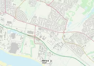
Exploring the diverse landscapes of Blake Close: From the charming streets of Wigan (WN3 5 Map) to the vibrant neighborhoods of Kensington and Chelsea (W10 6 Map


All Professionally Made to Order for Quick Shipping
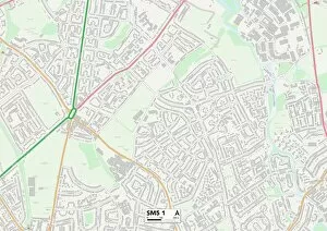
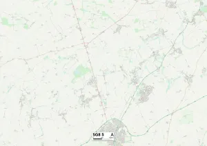
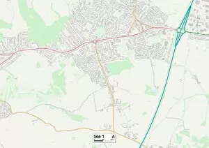
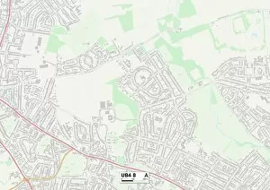
Exploring the diverse landscapes of Blake Close: From the charming streets of Wigan (WN3 5 Map) to the vibrant neighborhoods of Kensington and Chelsea (W10 6 Map), this journey takes us through Torbay's coastal beauty (TQ1 4 Map) and Southampton's bustling cityscape (SO16 0 Map). Continuing our adventure, we find ourselves in Sutton's tranquil surroundings (SM5 1 Map) before venturing into North Hertfordshire's picturesque countryside (SG8 5 Map). The enchanting Cannock Chase awaits with its lush greenery and wildlife wonders (WS11 5 Map), while Rotherham beckons with its rich history and cultural heritage (S66 1 Map). As we move along, Stockton-on-Tees greets us with its riverside charm and scenic vistas (TS23 3 Map), leading us to Hillingdon's suburban bliss dotted with parks and open spaces (Ub4 8Map). Finally, Havering invites us to explore its hidden gems amidst a tapestry of quaint villages (RM13 8Map). Concluding our journey in Hampshire, where tranquility meets natural beauty at every turn (RG29 1 Map), Blake Close unveils an array of captivating destinations that are waiting to be discovered.