
Boroughs Collection
"Boroughs: Unveiling the Historical Tapestry of London's Arms and Seals" Step into the rich tapestry of London's history as we explore the significance of boroughs


All Professionally Made to Order for Quick Shipping
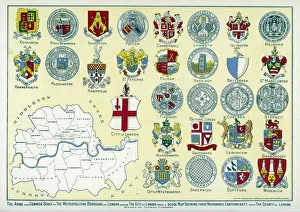
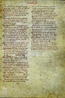
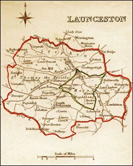
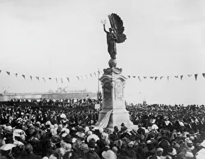
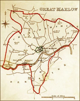
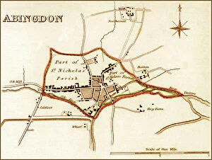
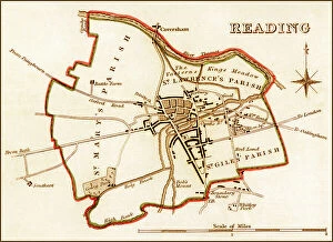
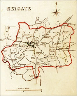
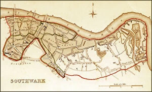
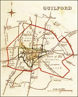
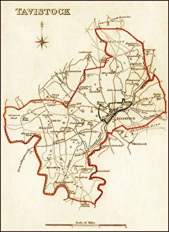
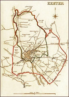
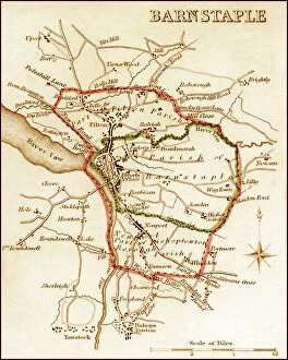
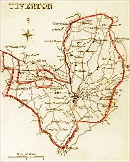
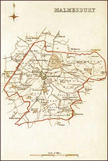
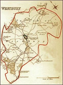
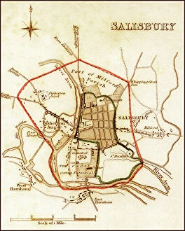
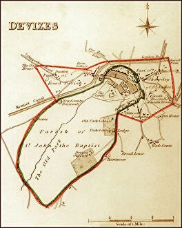
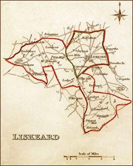
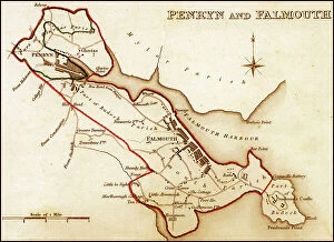
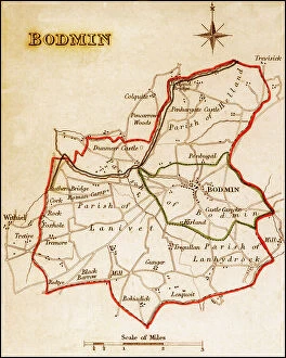
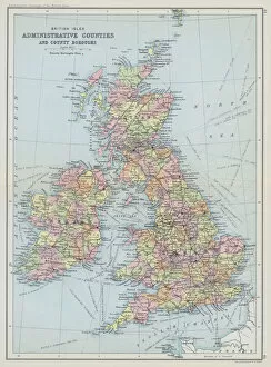
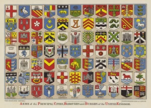
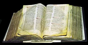
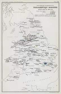
"Boroughs: Unveiling the Historical Tapestry of London's Arms and Seals" Step into the rich tapestry of London's history as we explore the significance of boroughs, from their origins to their enduring presence in modern times. Dating back centuries, these administrative divisions have played a pivotal role in shaping the city's landscape and identity. One cannot delve into boroughs without mentioning The Domesday Book, a remarkable survey commissioned by William the Conqueror in 1086. Within its pages lie fascinating insights into two notable boroughs - Nottinghamshire and Surrey - offering glimpses into their early development and societal structures. Fast forward to more recent times, where we encounter an iconic moment etched in history - the unveiling of Edward VII Memorial at Brighton and Hove. This grand occasion marked not only a tribute to King Edward VII but also highlighted how boroughs serve as cultural hubs that celebrate heritage and commemorate significant figures. Delving further, we discover George Hardinge, an influential figure who championed parliamentary reform during his tenure as Recorder for Wallingford. His efforts left an indelible mark on this historic borough while exemplifying how individuals can shape the destiny of their communities. Venturing beyond London's borders, The Domesday Book sheds light on Norfolk's vibrant borough scene during medieval times. It reveals a tapestry woven with bustling market towns and thriving local economies that continue to thrive today. To truly appreciate the evolution of these dynamic entities called boroughs, let us turn our gaze towards Victorian England. Through meticulously detailed maps from 1832 depicting Great Marlow, Windsor, Abingdon, Reading, Wallingford, and Greenwich – each showcasing unique characteristics – we witness how these areas flourished under municipal governance while preserving their distinct identities.