Fraud Blocker Skip to main content

Brandon Close Collection

"Brandon Close

Background imageBrandon Close Collection: Cheshire East SK9 3 Map

Cheshire East SK9 3 Map
Postcode Sector Map of Cheshire East SK9 3

Background imageBrandon Close Collection: Crawley RH10 7 Map

Crawley RH10 7 Map
Postcode Sector Map of Crawley RH10 7

Background imageBrandon Close Collection: Aylesbury Vale HP22 5 Map

Aylesbury Vale HP22 5 Map
Postcode Sector Map of Aylesbury Vale HP22 5

Background imageBrandon Close Collection: West Lancashire WN8 0 Map

West Lancashire WN8 0 Map
Postcode Sector Map of West Lancashire WN8 0

Background imageBrandon Close Collection: Swindon SN5 6 Map

Swindon SN5 6 Map
Postcode Sector Map of Swindon SN5 6

Background imageBrandon Close Collection: Walsall WS9 0 Map

Walsall WS9 0 Map
Postcode Sector Map of Walsall WS9 0

Background imageBrandon Close Collection: Hartlepool TS25 2 Map

Hartlepool TS25 2 Map
Postcode Sector Map of Hartlepool TS25 2

Background imageBrandon Close Collection: Stockton-on-Tees TS23 2 Map

Stockton-on-Tees TS23 2 Map
Postcode Sector Map of Stockton-on-Tees TS23 2

Background imageBrandon Close Collection: Thurrock RM16 5 Map

Thurrock RM16 5 Map
Postcode Sector Map of Thurrock RM16 5

Background imageBrandon Close Collection: Cherwell OX5 1 Map

Cherwell OX5 1 Map
Postcode Sector Map of Cherwell OX5 1

Background imageBrandon Close Collection: West Norfolk PE37 7 Map

West Norfolk PE37 7 Map
Postcode Sector Map of West Norfolk PE37 7

Background imageBrandon Close Collection: Norfolk NR20 4 Map

Norfolk NR20 4 Map
Postcode Sector Map of Norfolk NR20 4

Background imageBrandon Close Collection: Newark and Sherwood NG24 3 Map

Newark and Sherwood NG24 3 Map
Postcode Sector Map of Newark and Sherwood NG24 3

Background imageBrandon Close Collection: Norfolk NR6 5 Map

Norfolk NR6 5 Map
Postcode Sector Map of Norfolk NR6 5

Background imageBrandon Close Collection: Northumberland NE24 5 Map

Northumberland NE24 5 Map
Postcode Sector Map of Northumberland NE24 5

Background imageBrandon Close Collection: Gateshead NE21 6 Map

Gateshead NE21 6 Map
Postcode Sector Map of Gateshead NE21 6

Background imageBrandon Close Collection: Leeds LS17 8 Map

Leeds LS17 8 Map
Postcode Sector Map of Leeds LS17 8

Background imageBrandon Close Collection: Surrey Heath GU15 1 Map

Surrey Heath GU15 1 Map
Postcode Sector Map of Surrey Heath GU15 1

Background imageBrandon Close Collection: East Hampshire GU34 2 Map

East Hampshire GU34 2 Map
Postcode Sector Map of East Hampshire GU34 2

Background imageBrandon Close Collection: Gloucester GL3 1 Map

Gloucester GL3 1 Map
Postcode Sector Map of Gloucester GL3 1

Background imageBrandon Close Collection: Broxbourne EN7 6 Map

Broxbourne EN7 6 Map
Postcode Sector Map of Broxbourne EN7 6

Background imageBrandon Close Collection: Dudley DY3 1 Map

Dudley DY3 1 Map
Postcode Sector Map of Dudley DY3 1

Background imageBrandon Close Collection: County Durham DH2 3 Map

County Durham DH2 3 Map
Postcode Sector Map of County Durham DH2 3

Background imageBrandon Close Collection: Sunderland DH4 5 Map

Sunderland DH4 5 Map
Postcode Sector Map of Sunderland DH4 5

Background imageBrandon Close Collection: Basildon CM12 0 Map

Basildon CM12 0 Map
Postcode Sector Map of Basildon CM12 0

Background imageBrandon Close Collection: Bury BL8 1 Map

Bury BL8 1 Map
Postcode Sector Map of Bury BL8 1

Background imageBrandon Close Collection: Sandwell B70 8 Map

Sandwell B70 8 Map
Postcode Sector Map of Sandwell B70 8


All Professionally Made to Order for Quick Shipping

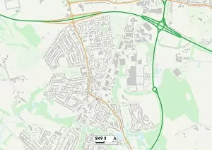
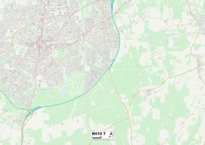
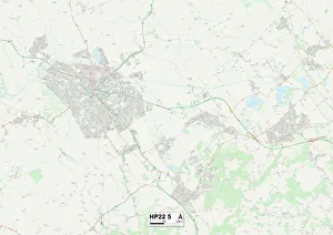
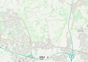
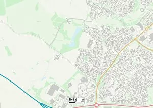
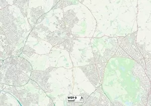
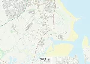
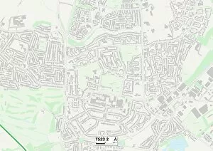
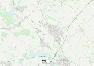
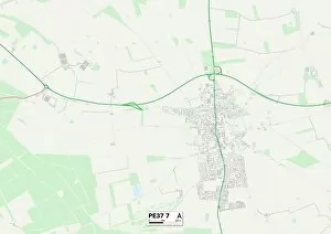
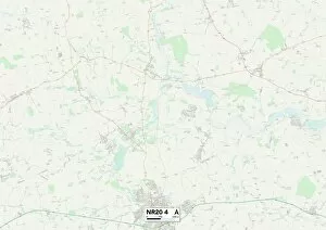
"Brandon Close: Exploring the Hidden Gems of Cheshire East to Norfolk" Embark on a captivating journey through the picturesque towns and serene landscapes that dot the map from Cheshire East to Norfolk. Brandon Close, with its diverse range of locations, offers an enchanting blend of history, natural beauty, and vibrant communities. Starting in Cheshire East's SK9 3 Map area, immerse yourself in the charm of this idyllic region. Discover quaint villages nestled amidst rolling hills and lush greenery. Lose yourself in Aylesbury Vale's HP22 5 Map as you wander through stunning countryside vistas and stumble upon hidden treasures at every turn. Venturing further north into West Lancashire's WN8 0 Map area, be captivated by its rich heritage showcased through ancient castles and historic landmarks. The scenic Swindon SN5 6 Map will enthrall nature enthusiasts with its sprawling parks and tranquil lakeside views. Continuing your expedition towards Walsall's WS9 0 Map area, experience a fusion of old-world charm seamlessly blending with modern urban living. Journey eastward to Hartlepool's TS25 2 Map where coastal wonders await - sandy beaches stretching as far as the eye can see. As you traverse Stockton-on-Tees' TS23 2 Map region, delve into a tapestry woven with industrial marvels alongside breathtaking riverfront panoramas. Thurrock RM16 5 Map beckons explorers with its vibrant cultural scene and thriving community spirit. Heading southwards towards Cherwell OX5 1 Map unveils a landscape dotted with charming villages steeped in tradition while West Norfolk PE37 7 Maps showcases unspoiled natural beauty at every corner – from vast marshlands to windswept coastlines. Crawley RH10 7 Maps invites visitors to indulge in retail therapy or explore nearby historical sites before venturing deeper into Norfolk NR20 4 Map, where picturesque countryside vistas and charming market towns await.