Fraud Blocker Skip to main content

Byron Close Collection

Discover the charm of Byron Close and its diverse locations across the UK

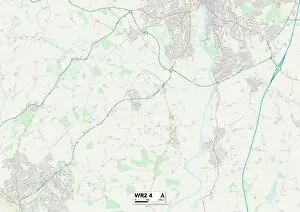
Background imageByron Close Collection: Worcester WR2 4 Map

Worcester WR2 4 Map
Postcode Sector Map of Worcester WR2 4

Background imageByron Close Collection: Wigan WN6 8 Map

Wigan WN6 8 Map
Postcode Sector Map of Wigan WN6 8

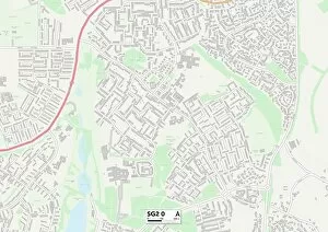
Background imageByron Close Collection: Stevenage SG2 0 Map

Stevenage SG2 0 Map
Postcode Sector Map of Stevenage SG2 0

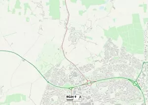
Background imageByron Close Collection: Hampshire RG24 9 Map

Hampshire RG24 9 Map
Postcode Sector Map of Hampshire RG24 9

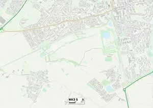
Background imageByron Close Collection: Milton Keynes MK3 5 Map

Milton Keynes MK3 5 Map
Postcode Sector Map of Milton Keynes MK3 5

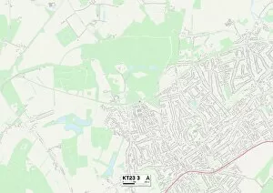
Background imageByron Close Collection: Mole Valley KT23 3 Map

Mole Valley KT23 3 Map
Postcode Sector Map of Mole Valley KT23 3

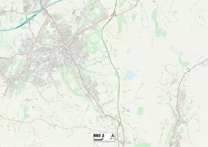
Background imageByron Close Collection: BB Blackburn, BB5 2

BB Blackburn, BB5 2
BB5 2

Background imageByron Close Collection: Wigan WN5 8 Map

Wigan WN5 8 Map
Postcode Sector Map of Wigan WN5 8

Background imageByron Close Collection: Richmond upon Thames TW12 1 Map

Richmond upon Thames TW12 1 Map
Postcode Sector Map of Richmond upon Thames TW12 1

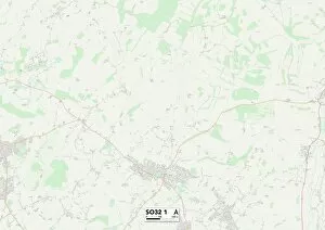
Background imageByron Close Collection: Eastleigh SO32 1 Map

Eastleigh SO32 1 Map
Postcode Sector Map of Eastleigh SO32 1

Background imageByron Close Collection: Lambeth SW16 3 Map

Lambeth SW16 3 Map
Postcode Sector Map of Lambeth SW16 3

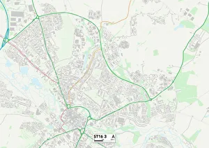
Background imageByron Close Collection: Staffordshire ST16 3 Map

Staffordshire ST16 3 Map
Postcode Sector Map of Staffordshire ST16 3

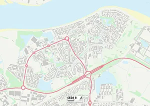
Background imageByron Close Collection: Greenwich SE28 8 Map

Greenwich SE28 8 Map
Postcode Sector Map of Greenwich SE28 8

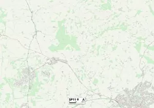
Background imageByron Close Collection: Test Valley SP11 9 Map

Test Valley SP11 9 Map
Postcode Sector Map of Test Valley SP11 9

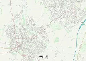
Background imageByron Close Collection: North Hertfordshire SG4 0 Map

North Hertfordshire SG4 0 Map
Postcode Sector Map of North Hertfordshire SG4 0

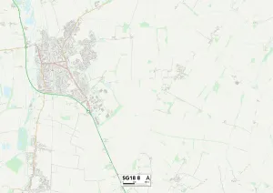
Background imageByron Close Collection: Central Bedfordshire SG18 8 Map

Central Bedfordshire SG18 8 Map
Postcode Sector Map of Central Bedfordshire SG18 8

Background imageByron Close Collection: Central Bedfordshire SG18 9 Map

Central Bedfordshire SG18 9 Map
Postcode Sector Map of Central Bedfordshire SG18 9

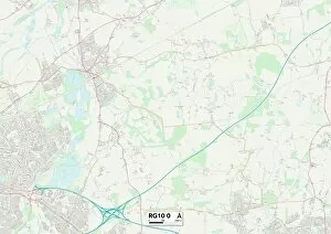
Background imageByron Close Collection: Wokingham RG10 0 Map

Wokingham RG10 0 Map
Postcode Sector Map of Wokingham RG10 0

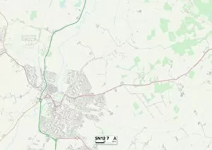
Background imageByron Close Collection: Wiltshire SN12 7 Map

Wiltshire SN12 7 Map
Postcode Sector Map of Wiltshire SN12 7

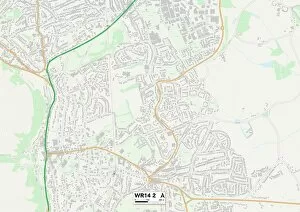
Background imageByron Close Collection: Malvern Hills WR14 2 Map

Malvern Hills WR14 2 Map
Postcode Sector Map of Malvern Hills WR14 2

Background imageByron Close Collection: Lichfield WS7 2 Map

Lichfield WS7 2 Map
Postcode Sector Map of Lichfield WS7 2

Background imageByron Close Collection: Wigan WN2 5 Map

Wigan WN2 5 Map
Postcode Sector Map of Wigan WN2 5

Background imageByron Close Collection: Berkshire RG14 7 Map

Berkshire RG14 7 Map
Postcode Sector Map of Berkshire RG14 7

Background imageByron Close Collection: Rotherham S25 2 Map

Rotherham S25 2 Map
Postcode Sector Map of Rotherham S25 2

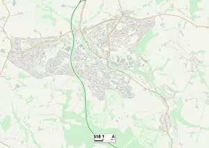
Background imageByron Close Collection: North East Derbyshire S18 1 Map

North East Derbyshire S18 1 Map
Postcode Sector Map of North East Derbyshire S18 1

Background imageByron Close Collection: Stockton-on-Tees TS23 3 Map

Stockton-on-Tees TS23 3 Map
Postcode Sector Map of Stockton-on-Tees TS23 3

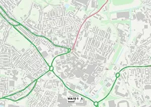
Background imageByron Close Collection: St. Helens WA10 1 Map

St. Helens WA10 1 Map
Postcode Sector Map of St. Helens WA10 1

Background imageByron Close Collection: Staffordshire ST7 3 Map

Staffordshire ST7 3 Map
Postcode Sector Map of Staffordshire ST7 3

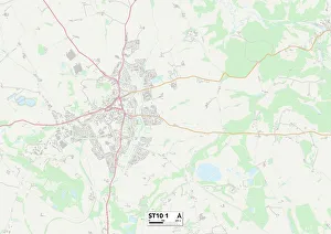
Background imageByron Close Collection: Staffordshire ST10 1 Map

Staffordshire ST10 1 Map
Postcode Sector Map of Staffordshire ST10 1

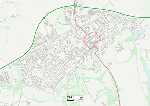
Background imageByron Close Collection: Shropshire TF9 1 Map

Shropshire TF9 1 Map
Postcode Sector Map of Shropshire TF9 1

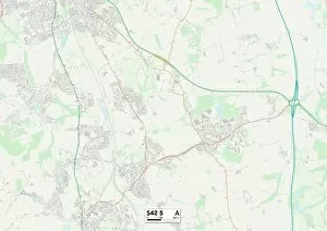
Background imageByron Close Collection: Chesterfield S42 5 Map

Chesterfield S42 5 Map
Postcode Sector Map of Chesterfield S42 5

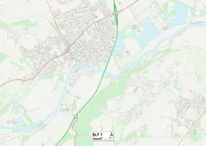
Background imageByron Close Collection: South Buckinghamshire SL7 1 Map

South Buckinghamshire SL7 1 Map
Postcode Sector Map of South Buckinghamshire SL7 1

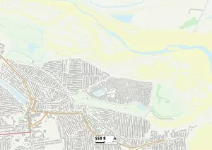
Background imageByron Close Collection: Castle Point SS8 8 Map

Castle Point SS8 8 Map
Postcode Sector Map of Castle Point SS8 8

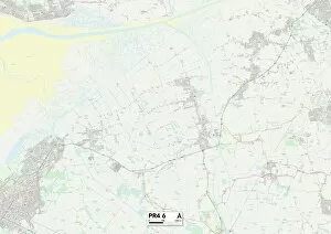
Background imageByron Close Collection: Fylde PR4 6 Map

Fylde PR4 6 Map
Postcode Sector Map of Fylde PR4 6

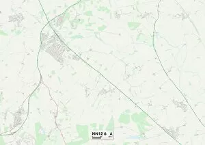
Background imageByron Close Collection: South Northamptonshire NN12 6 Map

South Northamptonshire NN12 6 Map
Postcode Sector Map of South Northamptonshire NN12 6

Background imageByron Close Collection: South Oxfordshire OX14 5 Map

South Oxfordshire OX14 5 Map
Postcode Sector Map of South Oxfordshire OX14 5

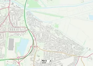
Background imageByron Close Collection: Peterborough PE2 8 Map

Peterborough PE2 8 Map
Postcode Sector Map of Peterborough PE2 8

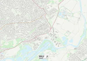
Background imageByron Close Collection: Gedling NG4 2 Map

Gedling NG4 2 Map
Postcode Sector Map of Gedling NG4 2

Background imageByron Close Collection: Huntingdonshire PE29 1 Map

Huntingdonshire PE29 1 Map
Postcode Sector Map of Huntingdonshire PE29 1

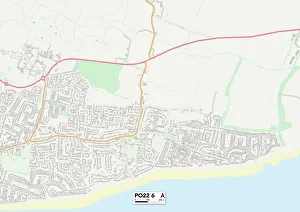
Background imageByron Close Collection: Sussex PO22 6 Map

Sussex PO22 6 Map
Postcode Sector Map of Sussex PO22 6

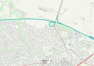
Background imageByron Close Collection: Hampshire PO16 7 Map

Hampshire PO16 7 Map
Postcode Sector Map of Hampshire PO16 7

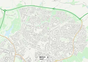
Background imageByron Close Collection: Horsham RH12 5 Map

Horsham RH12 5 Map
Postcode Sector Map of Horsham RH12 5

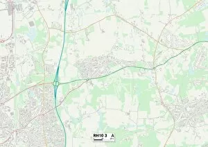
Background imageByron Close Collection: Crawley RH10 3 Map

Crawley RH10 3 Map
Postcode Sector Map of Crawley RH10 3

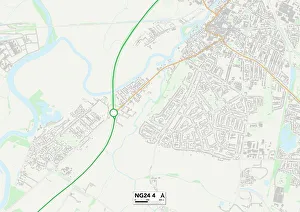
Background imageByron Close Collection: Newark and Sherwood NG24 4 Map

Newark and Sherwood NG24 4 Map
Postcode Sector Map of Newark and Sherwood NG24 4

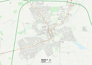
Background imageByron Close Collection: North Kesteven NG34 7 Map

North Kesteven NG34 7 Map
Postcode Sector Map of North Kesteven NG34 7

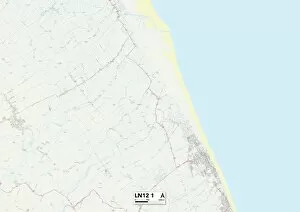
Background imageByron Close Collection: East Lindsey LN12 1 Map

East Lindsey LN12 1 Map
Postcode Sector Map of East Lindsey LN12 1

Background imageByron Close Collection: Leicester LE17 4 Map

Leicester LE17 4 Map
Postcode Sector Map of Leicester LE17 4

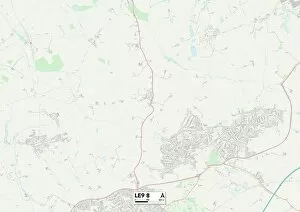
Background imageByron Close Collection: Leicester LE9 8 Map

Leicester LE9 8 Map
Postcode Sector Map of Leicester LE9 8


All Professionally Made to Order for Quick Shipping

Discover the charm of Byron Close and its diverse locations across the UK. From Worcester WR2 4 to Wigan WN6 8, this captivating neighborhood offers a range of picturesque settings. Nestled in Stevenage SG2 0, residents can enjoy a peaceful atmosphere surrounded by stunning landscapes. Hampshire RG24 9 boasts a convenient location with easy access to amenities and attractions. Mole Valley KT23 3 is an idyllic spot for nature lovers, offering serene surroundings perfect for outdoor activities. BB Blackburn, BB5 2 provides a vibrant community atmosphere filled with friendly neighbors and bustling streets. Wigan WN5 8 captures the essence of small-town living while Richmond upon Thames TW12 1 showcases elegance and sophistication at every turn. Eastleigh SO32 1 invites you to explore its charming streets lined with quaint shops and cozy cafes. Lambeth SW16 3 exudes urban energy, boasting trendy hotspots and cultural diversity. Staffordshire ST16 3 offers a blend of history and modernity, creating an enriching experience for all who reside there. Finally, Greenwich SE28 8 combines riverside beauty with historical landmarks that will leave you in awe. Come discover the allure of Byron Close's unique locations.