Fraud Blocker Skip to main content

Chapel Street Collection

Chapel Street is a name that resonates with history and charm, as it appears in various locations across the United Kingdom

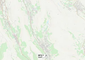
Background imageChapel Street Collection: Blaenau Gwent NP13 1 Map

Blaenau Gwent NP13 1 Map
Postcode Sector Map of Blaenau Gwent NP13 1

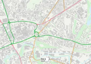
Background imageChapel Street Collection: Tameside OL6 6 Map

Tameside OL6 6 Map
Postcode Sector Map of Tameside OL6 6

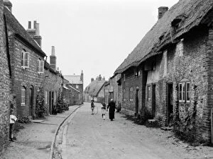
Background imageChapel Street Collection: Chapel Street, Watlington, c. 1920

Chapel Street, Watlington, c. 1920
A view looking north up Chapel Street in Watlington. An older lady walks with a young girl, whilst another looks on with a spinning hoop

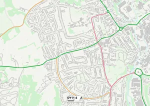
Background imageChapel Street Collection: Wyre Forest DY11 6 Map

Wyre Forest DY11 6 Map
Postcode Sector Map of Wyre Forest DY11 6

Background imageChapel Street Collection: Press launch of 'Sgt. Peppers Lonely Hearts Club Band'

Press launch of "Sgt. Peppers Lonely Hearts Club Band"
Press launch of " Sgt. Peppers Lonely Hearts Club Band" the eighth studio album by The Beatles May 1967. Pictured at house in 24 Chapel Street. Belgravia London May 1967

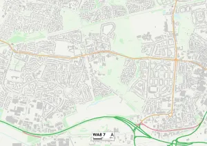
Background imageChapel Street Collection: Halton WA8 7 Map

Halton WA8 7 Map
Postcode Sector Map of Halton WA8 7

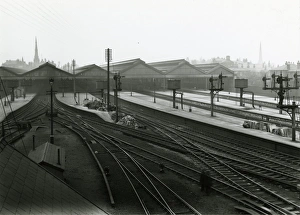
Background imageChapel Street Collection: Southport Chapel Street station, Lancashire and Yorkshire Railway. View from the

Southport Chapel Street station, Lancashire and Yorkshire Railway. View from the station signal box towards the platforms. May 1919

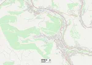
Background imageChapel Street Collection: Rhondda Cynon Taf CF40 2 Map

Rhondda Cynon Taf CF40 2 Map
Postcode Sector Map of Rhondda Cynon Taf CF40 2

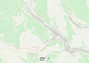
Background imageChapel Street Collection: Rhondda Cynon Taf CF42 6 Map

Rhondda Cynon Taf CF42 6 Map
Postcode Sector Map of Rhondda Cynon Taf CF42 6

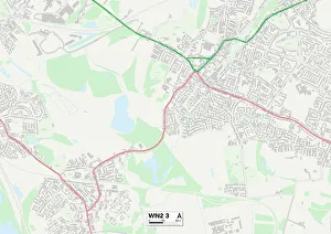
Background imageChapel Street Collection: Wigan WN2 3 Map

Wigan WN2 3 Map
Postcode Sector Map of Wigan WN2 3

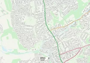
Background imageChapel Street Collection: Dudley DY8 5 Map

Dudley DY8 5 Map
Postcode Sector Map of Dudley DY8 5

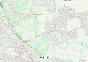
Background imageChapel Street Collection: BL Bolton, BL3 1

BL Bolton, BL3 1
BL3 1

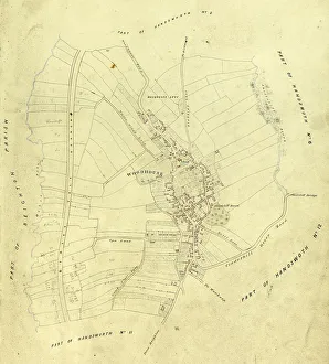
Background imageChapel Street Collection: Map of Woodhouse, Sheffield, Yorkshirec. 1855

Map of Woodhouse, Sheffield, Yorkshirec. 1855
Includes Birley Vale Branch railway, Woodhouse Leys. From a volume of maps of the parish of Handsworth, based on the enclosure award maps (1805) and corrected up to 1855

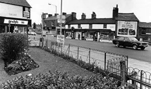
Background imageChapel Street Collection: The centre of Prescot, Knowsley, Merseyside. May 1976

The centre of Prescot, Knowsley, Merseyside. May 1976

Background imageChapel Street Collection: Picture shows Old Hall Street, Liverpool, Merseyside, United Kingdom

Picture shows Old Hall Street, Liverpool, Merseyside, United Kingdom. Picture taken 12th October 1981

Background imageChapel Street Collection: Wolverhampton WV2 3 Map

Wolverhampton WV2 3 Map
Postcode Sector Map of Wolverhampton WV2 3

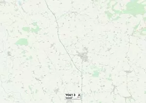
Background imageChapel Street Collection: North Yorkshire YO61 3 Map

North Yorkshire YO61 3 Map
Postcode Sector Map of North Yorkshire YO61 3

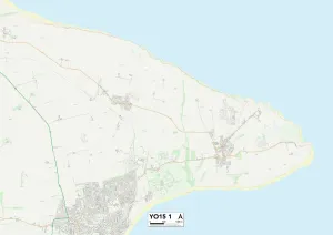
Background imageChapel Street Collection: East Riding of Yorkshire YO15 1 Map

East Riding of Yorkshire YO15 1 Map
Postcode Sector Map of East Riding of Yorkshire YO15 1

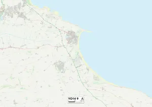
Background imageChapel Street Collection: North Yorkshire YO14 9 Map

North Yorkshire YO14 9 Map
Postcode Sector Map of North Yorkshire YO14 9

Background imageChapel Street Collection: Wolverhampton WV14 0 Map

Wolverhampton WV14 0 Map
Postcode Sector Map of Wolverhampton WV14 0

Background imageChapel Street Collection: Redcar & Cleveland TS13 4 Map

Redcar & Cleveland TS13 4 Map
Postcode Sector Map of Redcar & Cleveland TS13 4

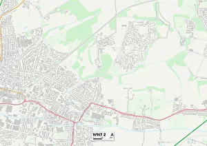
Background imageChapel Street Collection: Wigan WN7 2 Map

Wigan WN7 2 Map
Postcode Sector Map of Wigan WN7 2

Background imageChapel Street Collection: Wigan WN5 8 Map

Wigan WN5 8 Map
Postcode Sector Map of Wigan WN5 8

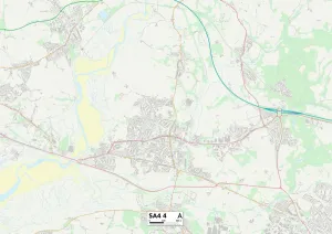
Background imageChapel Street Collection: Swansea SA4 4 Map

Swansea SA4 4 Map
Postcode Sector Map of Swansea SA4 4

Background imageChapel Street Collection: Cheshire East SK11 8 Map

Cheshire East SK11 8 Map
Postcode Sector Map of Cheshire East SK11 8

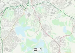
Background imageChapel Street Collection: Wigan WN3 4 Map

Wigan WN3 4 Map
Postcode Sector Map of Wigan WN3 4

Background imageChapel Street Collection: Wigan WN2 5 Map

Wigan WN2 5 Map
Postcode Sector Map of Wigan WN2 5

Background imageChapel Street Collection: East Riding of Yorkshire YO25 9 Map

East Riding of Yorkshire YO25 9 Map
Postcode Sector Map of East Riding of Yorkshire YO25 9

Background imageChapel Street Collection: Barnsley S74 0 Map

Barnsley S74 0 Map
Postcode Sector Map of Barnsley S74 0

Background imageChapel Street Collection: Telford and Wrekin TF4 3 Map

Telford and Wrekin TF4 3 Map
Postcode Sector Map of Telford and Wrekin TF4 3

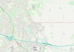
Background imageChapel Street Collection: Telford and Wrekin TF2 9 Map

Telford and Wrekin TF2 9 Map
Postcode Sector Map of Telford and Wrekin TF2 9

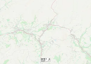
Background imageChapel Street Collection: Carmarthenshire SA18 1 Map

Carmarthenshire SA18 1 Map
Postcode Sector Map of Carmarthenshire SA18 1

Background imageChapel Street Collection: Oxford OX4 1 Map

Oxford OX4 1 Map
Postcode Sector Map of Oxford OX4 1

Background imageChapel Street Collection: Peterborough PE1 1 Map

Peterborough PE1 1 Map
Postcode Sector Map of Peterborough PE1 1

Background imageChapel Street Collection: Chorley PR7 1 Map

Chorley PR7 1 Map
Postcode Sector Map of Chorley PR7 1

Background imageChapel Street Collection: Rochdale OL11 2 Map

Rochdale OL11 2 Map
Postcode Sector Map of Rochdale OL11 2

Background imageChapel Street Collection: Milton Keynes MK17 8 Map

Milton Keynes MK17 8 Map
Postcode Sector Map of Milton Keynes MK17 8

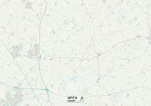
Background imageChapel Street Collection: Leicester LE17 6 Map

Leicester LE17 6 Map
Postcode Sector Map of Leicester LE17 6

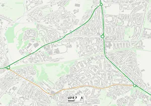
Background imageChapel Street Collection: Leeds LS15 7 Map

Leeds LS15 7 Map
Postcode Sector Map of Leeds LS15 7

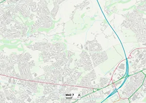
Background imageChapel Street Collection: Tameside M43 7 Map

Tameside M43 7 Map
Postcode Sector Map of Tameside M43 7

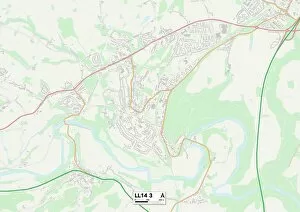
Background imageChapel Street Collection: Wrexham LL14 3 Map

Wrexham LL14 3 Map
Postcode Sector Map of Wrexham LL14 3

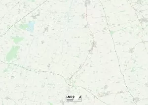
Background imageChapel Street Collection: Lincoln LN5 0 Map

Lincoln LN5 0 Map
Postcode Sector Map of Lincoln LN5 0

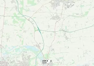
Background imageChapel Street Collection: Leeds LS25 5 Map

Leeds LS25 5 Map
Postcode Sector Map of Leeds LS25 5

Background imageChapel Street Collection: Gwynedd LL40 1 Map

Gwynedd LL40 1 Map
Postcode Sector Map of Gwynedd LL40 1

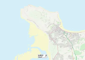
Background imageChapel Street Collection: Conwy LL30 2 Map

Conwy LL30 2 Map
Postcode Sector Map of Conwy LL30 2

Background imageChapel Street Collection: Woking GU21 6 Map

Woking GU21 6 Map
Postcode Sector Map of Woking GU21 6

Background imageChapel Street Collection: Highland IV20 1 Map

Highland IV20 1 Map
Postcode Sector Map of Highland IV20 1

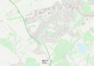
Background imageChapel Street Collection: South Derbyshire DE11 9 Map

South Derbyshire DE11 9 Map
Postcode Sector Map of South Derbyshire DE11 9

Background imageChapel Street Collection: Dudley DY2 9 Map

Dudley DY2 9 Map
Postcode Sector Map of Dudley DY2 9

Background imageChapel Street Collection: Dudley DY5 1 Map

Dudley DY5 1 Map
Postcode Sector Map of Dudley DY5 1

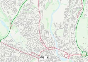
Background imageChapel Street Collection: Derby DE1 3 Map

Derby DE1 3 Map
Postcode Sector Map of Derby DE1 3

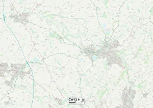
Background imageChapel Street Collection: Cheshire East CW12 4 Map

Cheshire East CW12 4 Map
Postcode Sector Map of Cheshire East CW12 4

Background imageChapel Street Collection: Rugby CV21 3 Map

Rugby CV21 3 Map
Postcode Sector Map of Rugby CV21 3

Background imageChapel Street Collection: Angus DD8 2 Map

Angus DD8 2 Map
Postcode Sector Map of Angus DD8 2

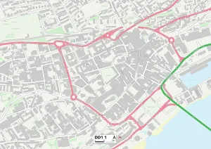
Background imageChapel Street Collection: Dundee DD1 1 Map

Dundee DD1 1 Map
Postcode Sector Map of Dundee DD1 1

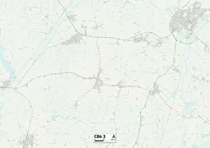
Background imageChapel Street Collection: Ely CB6 3 Map

Ely CB6 3 Map
Postcode Sector Map of Ely CB6 3

Background imageChapel Street Collection: Bristol BS2 0 Map

Bristol BS2 0 Map
Postcode Sector Map of Bristol BS2 0

Background imageChapel Street Collection: Bolton BL6 6 Map

Bolton BL6 6 Map
Postcode Sector Map of Bolton BL6 6

Background imageChapel Street Collection: BB Blackburn, BB5 2

BB Blackburn, BB5 2
BB5 2

Background imageChapel Street Collection: Bromsgrove B60 2 Map

Bromsgrove B60 2 Map
Postcode Sector Map of Bromsgrove B60 2

Background imageChapel Street Collection: Sandwell B70 9 Map

Sandwell B70 9 Map
Postcode Sector Map of Sandwell B70 9

Background imageChapel Street Collection: Blackburn with Darwen BB2 2 Map

Blackburn with Darwen BB2 2 Map
Postcode Sector Map of Blackburn with Darwen BB2 2

Background imageChapel Street Collection: Wiltshire BA12 8 Map

Wiltshire BA12 8 Map
Postcode Sector Map of Wiltshire BA12 8

Background imageChapel Street Collection: Blackburn with Darwen BB3 2 Map

Blackburn with Darwen BB3 2 Map
Postcode Sector Map of Blackburn with Darwen BB3 2

Background imageChapel Street Collection: The Five Gables, Stratford-on-Avon (photo)

The Five Gables, Stratford-on-Avon (photo)
727525 The Five Gables, Stratford-on-Avon (photo) by English Photographer, (20th century); Private Collection; (add.info.: The Five Gables, Stratford-on-Avon)

Background imageChapel Street Collection: The Landslip at Sandgate (b / w photo)

The Landslip at Sandgate (b / w photo)
1604098 The Landslip at Sandgate (b/w photo) by English Photographer, (19th century); Private Collection; (add.info.: The Landslip at Sandgate)

Background imageChapel Street Collection: The Metropolitan Underground Railway (engraving)

The Metropolitan Underground Railway (engraving)
1588034 The Metropolitan Underground Railway (engraving) by English School, (19th century); Private Collection; (add.info.: The Metropolitan Underground Railway)

Background imageChapel Street Collection: The Duke and Duchess of Teck at Southport (engraving)

The Duke and Duchess of Teck at Southport (engraving)
1058131 The Duke and Duchess of Teck at Southport (engraving) by English School, (19th century); Private Collection; (add.info.: The Duke and Duchess of Teck at Southport)

Background imageChapel Street Collection: Exchange Buildings Chapel Street (engraving)

Exchange Buildings Chapel Street (engraving)
5235952 Exchange Buildings Chapel Street (engraving) by English School, (19th century); Private Collection; (add.info.: Exchange Buildings Chapel Street)

Background imageChapel Street Collection: The Duke and Duchess of York at Salford, 25 March (b / w photo)

The Duke and Duchess of York at Salford, 25 March (b / w photo)
1605205 The Duke and Duchess of York at Salford, 25 March (b/w photo) by English Photographer, (19th century); Private Collection; (add.info.: The Duke and Duchess of York at Salford, 25 March)

Background imageChapel Street Collection: Sketches of Old Doorways in London (engraving)

Sketches of Old Doorways in London (engraving)
5204432 Sketches of Old Doorways in London (engraving) by English School, (19th century); Private Collection; (add.info.: Sketches of Old Doorways in London)

Background imageChapel Street Collection: South Staffordshire WV5 0 Map

South Staffordshire WV5 0 Map
Postcode Sector Map of South Staffordshire WV5 0

Background imageChapel Street Collection: Wakefield WF5 0 Map

Wakefield WF5 0 Map
Postcode Sector Map of Wakefield WF5 0

Background imageChapel Street Collection: Wakefield WF4 2 Map

Wakefield WF4 2 Map
Postcode Sector Map of Wakefield WF4 2

Background imageChapel Street Collection: Leeds WF3 4 Map

Leeds WF3 4 Map
Postcode Sector Map of Leeds WF3 4

Background imageChapel Street Collection: Leeds WF3 3 Map

Leeds WF3 3 Map
Postcode Sector Map of Leeds WF3 3

Background imageChapel Street Collection: Leeds WF3 2 Map

Leeds WF3 2 Map
Postcode Sector Map of Leeds WF3 2

Background imageChapel Street Collection: Leeds WF3 1 Map

Leeds WF3 1 Map
Postcode Sector Map of Leeds WF3 1

Background imageChapel Street Collection: North Yorkshire YO62 7 Map

North Yorkshire YO62 7 Map
Postcode Sector Map of North Yorkshire YO62 7

Background imageChapel Street Collection: North Yorkshire YO7 1 Map

North Yorkshire YO7 1 Map
Postcode Sector Map of North Yorkshire YO7 1

Background imageChapel Street Collection: East Riding of Yorkshire YO15 2 Map

East Riding of Yorkshire YO15 2 Map
Postcode Sector Map of East Riding of Yorkshire YO15 2

Background imageChapel Street Collection: York YO8 9 Map

York YO8 9 Map
Postcode Sector Map of York YO8 9

Background imageChapel Street Collection: Stockton-on-Tees TS17 6 Map

Stockton-on-Tees TS17 6 Map
Postcode Sector Map of Stockton-on-Tees TS17 6

Background imageChapel Street Collection: Redcar & Cleveland TS14 6 Map

Redcar & Cleveland TS14 6 Map
Postcode Sector Map of Redcar & Cleveland TS14 6


All Professionally Made to Order for Quick Shipping

Chapel Street is a name that resonates with history and charm, as it appears in various locations across the United Kingdom. From Blaenau Gwent to Rhondda Cynon Taf, this street has left its mark on different communities. In Blaenau Gwent NP13 1, Chapel Street stands proudly on the map, serving as a central hub for residents. Its bustling atmosphere and vibrant shops make it a popular destination for locals and visitors alike. Moving over to Rhondda Cynon Taf CF40 2, Chapel Street takes us back in time to c. 1920 when Watlington was thriving. This vintage snapshot captures the essence of an era long gone but still cherished by those who remember. Further up north in Lancashire and Yorkshire Railway's Southport Chapel Street station, we witness stunning views from both inside and outside the cafe. The interior exudes warmth and comfort while the exterior showcases architectural beauty that transports us back to another time. Halton WA8 7 presents yet another chapter of Chapel Street's story. Nestled within this community, it serves as a lifeline connecting people with essential services and creating a sense of unity among residents. Wyre Forest DY11 6 adds its own touch to Chapel Street's legacy with its unique character and local businesses lining its path. Here, one can find hidden gems tucked away amidst picturesque surroundings. Rhondda Cynon Taf CF42 6 brings us back to Wales where Chapel Street continues to weave itself into the fabric of communities. Its presence symbolizes resilience and endurance throughout generations. As we journey through Wigan WN2 3 Map or BL Bolton BL3 1, we encounter more facets of Chapel Street's diversity. Each location tells its own tale through landmarks that have stood strong against the test of time.

© Copyright Media Storehouse, All Rights Reserved 2003 - 2024
Facebook     Pinterest     Card Payments     Reviews IO