
Continent Collection
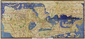
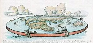
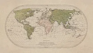
"Exploring the Vastness: A Journey through Continents" Al-Idrisi's World Map, 1154: Unveiling the ancient knowledge of continents and their boundaries


All Professionally Made to Order for Quick Shipping
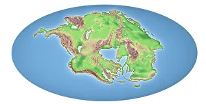
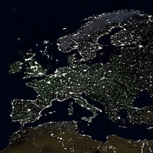
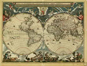
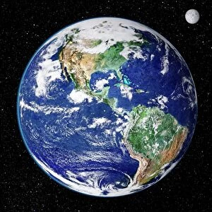
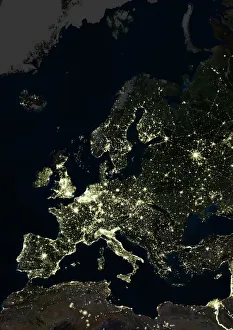
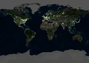
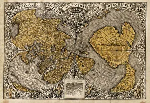
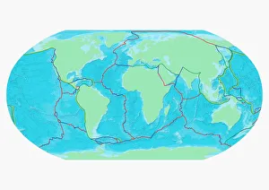
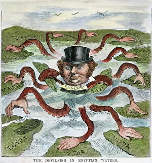
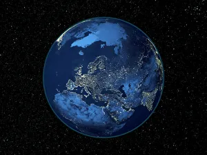
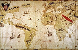
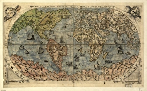
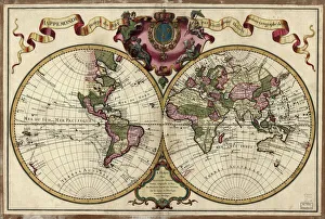
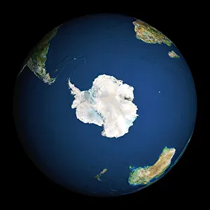
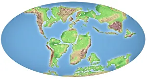
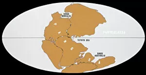
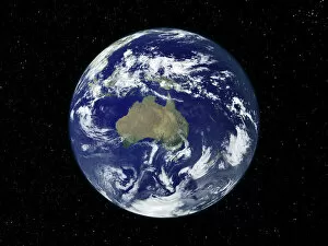
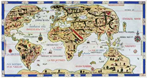
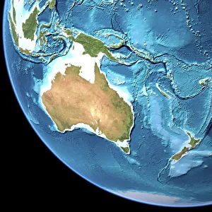
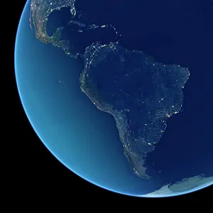
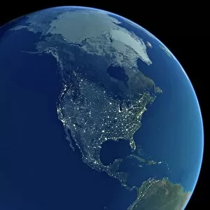
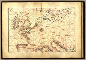
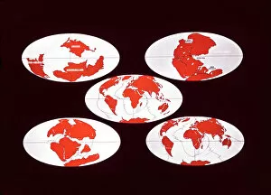
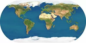
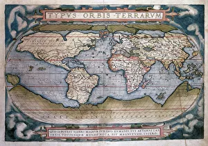
"Exploring the Vastness: A Journey through Continents" Al-Idrisi's World Map, 1154: Unveiling the ancient knowledge of continents and their boundaries. Continental Drift after 250 Million Years: Witnessing the ever-changing face of our planet over millions of years. Europe at Night - Satellite Image: Illuminating the vibrant tapestry of cities and civilizations under a starry sky. Europe at Night: A captivating nocturnal view showcasing the continent's bustling energy and urban landscapes. 17th Century World Map: Tracing the evolving perception of continents through historical cartography. Whole Earth at Night - Satellite Image: Glimpsing humanity's interconnectedness as lights twinkle across continents in unison. Our "Little Contemptibles, " 1914: Reflecting on bravery and resilience amidst global conflicts that shaped continents' destinies. 16th Century World Map: Discovering early explorers' visions as they unveiled new lands and expanded continental horizons. Earth from Space - Satellite Image: Beholding our magnificent home from afar, where continents blend seamlessly into one unified entity. Oronce Fine's World Map, 1531: Marveling at an intricate masterpiece that laid foundations for understanding vast continental expanses. Map of the Word with Lines Marking Boundaries of Tectonic Plates : Unraveling nature's hidden forces shaping continents throughout time The Devilfish in Egyptian Waters – An American cartoon from 1882 depicting John Bull (England) as the octopus of imperialism grabbing land on every continent .