
Daisy Close Collection
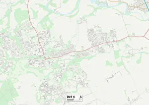
"Daisy Close: A Scenic Journey Across the UK" Embark on a picturesque adventure through the charming towns and serene landscapes of North Yorkshire, Hartlepool, Sefton


All Professionally Made to Order for Quick Shipping
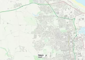
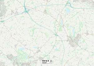
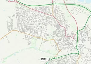
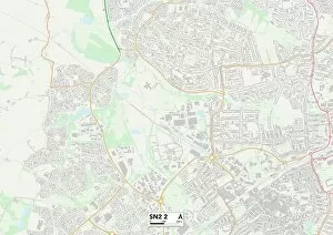
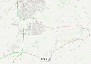
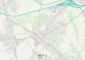
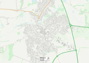
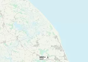
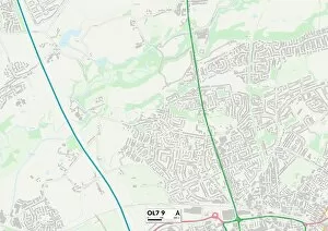
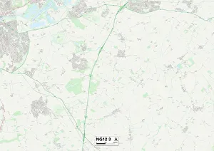
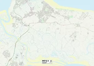
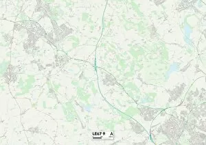
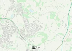
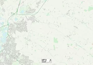
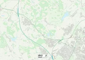
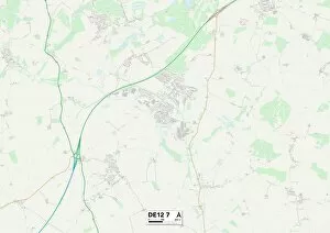
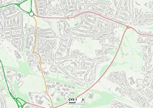
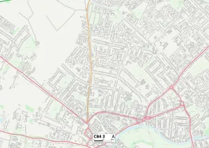
"Daisy Close: A Scenic Journey Across the UK" Embark on a picturesque adventure through the charming towns and serene landscapes of North Yorkshire, Hartlepool, Sefton, Cheshire East, Staffordshire, Swindon, Winchester, Wiltshire, Kirklees, Wychavon, Somerset and Telford and Wrekin. Nestled within these regions are hidden gems awaiting discovery at every turn. Starting in North Yorkshire's DL9 4 Map area lies Daisy Close - an idyllic haven where nature flourishes amidst rolling hills and quaint villages. As you venture south to Hartlepool's TS26 0 Map location, be captivated by its maritime heritage and stunning coastal vistas that stretch as far as the eye can see. Continuing your journey westward to Sefton's PR9 8 Map region reveals a tapestry of lush greenery dotted with historic landmarks. In Cheshire East's WA16 0 Map territory awaits a harmonious blend of rural charm and modern sophistication that will leave you enchanted. Heading further south into Staffordshire's ST14 7 Map area unravels a land steeped in history; explore ancient castles or lose yourself in vibrant market towns bustling with life. The enchanting town of Swindon beckons from SN2 2 Map coordinates with its mix of cultural attractions and tranquil parks offering respite from city bustle. As you make your way towards Winchester (SO21 1 Map), prepare to be mesmerized by its awe-inspiring cathedral dominating the skyline while immersing yourself in rich historical tales echoing through cobbled streets. Nearby lies Wiltshire’s SN12 6 map region – home to mystical stone circles like Stonehenge that have stood for centuries. Journey northwards into Kirklees' WF17 9 map area where breathtaking countryside unfolds before your eyes; immerse yourself in outdoor adventures or simply soak in the tranquility of nature.