Fraud Blocker Skip to main content

Digitally Generated Image Collection (page 9)

"Exploring the Boundless World of Digitally Generated Images

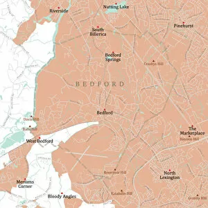
Background imageDigitally Generated Image Collection: MA Middlesex Bedford Vector Road Map

MA Middlesex Bedford Vector Road Map. All source data is in the public domain. U.S. Census Bureau Census Tiger. Used Layers: areawater, linearwater, roads, rails, cousub, pointlm, uac10

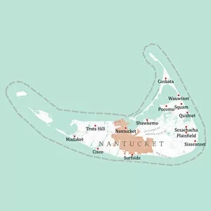
Background imageDigitally Generated Image Collection: MA Nantucket Vector Road Map

MA Nantucket Vector Road Map. All source data is in the public domain. U.S. Census Bureau Census Tiger. Used Layers: areawater, linearwater, roads, rails, cousub, pointlm, uac10

Background imageDigitally Generated Image Collection: MA Middlesex Boxborough Vector Road Map

MA Middlesex Boxborough Vector Road Map. All source data is in the public domain. U.S. Census Bureau Census Tiger. Used Layers: areawater, linearwater, roads, rails, cousub, pointlm, uac10

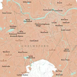
Background imageDigitally Generated Image Collection: MA Middlesex Chelmsford Vector Road Map

MA Middlesex Chelmsford Vector Road Map. All source data is in the public domain. U.S. Census Bureau Census Tiger. Used Layers: areawater, linearwater, roads, rails, cousub, pointlm, uac10

Background imageDigitally Generated Image Collection: MA Middlesex Billerica Vector Road Map

MA Middlesex Billerica Vector Road Map. All source data is in the public domain. U.S. Census Bureau Census Tiger. Used Layers: areawater, linearwater, roads, rails, cousub, pointlm, uac10

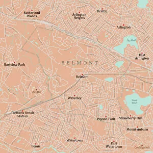
Background imageDigitally Generated Image Collection: MA Middlesex Belmont Vector Road Map

MA Middlesex Belmont Vector Road Map. All source data is in the public domain. U.S. Census Bureau Census Tiger. Used Layers: areawater, linearwater, roads, rails, cousub, pointlm, uac10

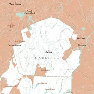
Background imageDigitally Generated Image Collection: MA Middlesex Carlisle Vector Road Map

MA Middlesex Carlisle Vector Road Map. All source data is in the public domain. U.S. Census Bureau Census Tiger. Used Layers: areawater, linearwater, roads, rails, cousub, pointlm, uac10

Background imageDigitally Generated Image Collection: MA Middlesex Burlington Vector Road Map

MA Middlesex Burlington Vector Road Map. All source data is in the public domain. U.S. Census Bureau Census Tiger. Used Layers: areawater, linearwater, roads, rails, cousub, pointlm, uac10

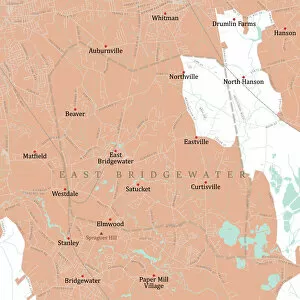
Background imageDigitally Generated Image Collection: MA Plymouth East Bridgewater Vector Road Map

MA Plymouth East Bridgewater Vector Road Map. All source data is in the public domain. U.S. Census Bureau Census Tiger. Used Layers: areawater, linearwater, roads, rails, cousub, pointlm, uac10

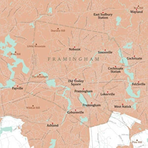
Background imageDigitally Generated Image Collection: MA Middlesex Framingham Vector Road Map

MA Middlesex Framingham Vector Road Map. All source data is in the public domain. U.S. Census Bureau Census Tiger. Used Layers: areawater, linearwater, roads, rails, cousub, pointlm, uac10

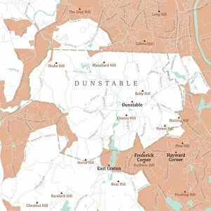
Background imageDigitally Generated Image Collection: MA Middlesex Dunstable Vector Road Map

MA Middlesex Dunstable Vector Road Map. All source data is in the public domain. U.S. Census Bureau Census Tiger. Used Layers: areawater, linearwater, roads, rails, cousub, pointlm, uac10

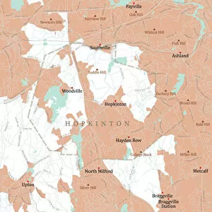
Background imageDigitally Generated Image Collection: MA Middlesex Hopkinton Vector Road Map

MA Middlesex Hopkinton Vector Road Map. All source data is in the public domain. U.S. Census Bureau Census Tiger. Used Layers: areawater, linearwater, roads, rails, cousub, pointlm, uac10

Background imageDigitally Generated Image Collection: MA Middlesex Holliston Vector Road Map

MA Middlesex Holliston Vector Road Map. All source data is in the public domain. U.S. Census Bureau Census Tiger. Used Layers: areawater, linearwater, roads, rails, cousub, pointlm, uac10

Background imageDigitally Generated Image Collection: MA Middlesex Lexington Vector Road Map

MA Middlesex Lexington Vector Road Map. All source data is in the public domain. U.S. Census Bureau Census Tiger. Used Layers: areawater, linearwater, roads, rails, cousub, pointlm, uac10

Background imageDigitally Generated Image Collection: MA Middlesex Lincoln Vector Road Map

MA Middlesex Lincoln Vector Road Map. All source data is in the public domain. U.S. Census Bureau Census Tiger. Used Layers: areawater, linearwater, roads, rails, cousub, pointlm, uac10

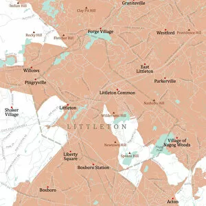
Background imageDigitally Generated Image Collection: MA Middlesex Littleton Vector Road Map

MA Middlesex Littleton Vector Road Map. All source data is in the public domain. U.S. Census Bureau Census Tiger. Used Layers: areawater, linearwater, roads, rails, cousub, pointlm, uac10

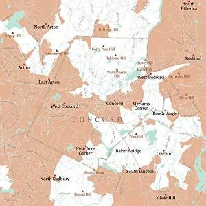
Background imageDigitally Generated Image Collection: MA Middlesex Concord Vector Road Map

MA Middlesex Concord Vector Road Map. All source data is in the public domain. U.S. Census Bureau Census Tiger. Used Layers: areawater, linearwater, roads, rails, cousub, pointlm, uac10

Background imageDigitally Generated Image Collection: MA Middlesex Everett Vector Road Map

MA Middlesex Everett Vector Road Map. All source data is in the public domain. U.S. Census Bureau Census Tiger. Used Layers: areawater, linearwater, roads, rails, cousub, pointlm, uac10

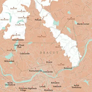
Background imageDigitally Generated Image Collection: MA Middlesex Dracut Vector Road Map

MA Middlesex Dracut Vector Road Map. All source data is in the public domain. U.S. Census Bureau Census Tiger. Used Layers: areawater, linearwater, roads, rails, cousub, pointlm, uac10

Background imageDigitally Generated Image Collection: MA Middlesex Groton Vector Road Map

MA Middlesex Groton Vector Road Map. All source data is in the public domain. U.S. Census Bureau Census Tiger. Used Layers: areawater, linearwater, roads, rails, cousub, pointlm, uac10

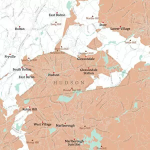
Background imageDigitally Generated Image Collection: MA Middlesex Hudson Vector Road Map

MA Middlesex Hudson Vector Road Map. All source data is in the public domain. U.S. Census Bureau Census Tiger. Used Layers: areawater, linearwater, roads, rails, cousub, pointlm, uac10

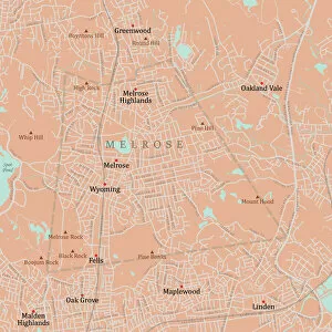
Background imageDigitally Generated Image Collection: MA Middlesex Melrose Vector Road Map

MA Middlesex Melrose Vector Road Map. All source data is in the public domain. U.S. Census Bureau Census Tiger. Used Layers: areawater, linearwater, roads, rails, cousub, pointlm, uac10

Background imageDigitally Generated Image Collection: MA Middlesex Maynard Vector Road Map

MA Middlesex Maynard Vector Road Map. All source data is in the public domain. U.S. Census Bureau Census Tiger. Used Layers: areawater, linearwater, roads, rails, cousub, pointlm, uac10

Background imageDigitally Generated Image Collection: MA Middlesex Malden Vector Road Map

MA Middlesex Malden Vector Road Map. All source data is in the public domain. U.S. Census Bureau Census Tiger. Used Layers: areawater, linearwater, roads, rails, cousub, pointlm, uac10

Background imageDigitally Generated Image Collection: MA Middlesex Newton Vector Road Map

MA Middlesex Newton Vector Road Map. All source data is in the public domain. U.S. Census Bureau Census Tiger. Used Layers: areawater, linearwater, roads, rails, cousub, pointlm, uac10

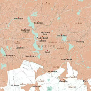
Background imageDigitally Generated Image Collection: MA Middlesex Natick Vector Road Map

MA Middlesex Natick Vector Road Map. All source data is in the public domain. U.S. Census Bureau Census Tiger. Used Layers: areawater, linearwater, roads, rails, cousub, pointlm, uac10

Background imageDigitally Generated Image Collection: MA Middlesex Marlborough Vector Road Map

MA Middlesex Marlborough Vector Road Map. All source data is in the public domain. U.S. Census Bureau Census Tiger. Used Layers: areawater, linearwater, roads, rails, cousub, pointlm, uac10

Background imageDigitally Generated Image Collection: MA Middlesex Lowell Vector Road Map

MA Middlesex Lowell Vector Road Map. All source data is in the public domain. U.S. Census Bureau Census Tiger. Used Layers: areawater, linearwater, roads, rails, cousub, pointlm, uac10

Background imageDigitally Generated Image Collection: MA Middlesex Medford Vector Road Map

MA Middlesex Medford Vector Road Map. All source data is in the public domain. U.S. Census Bureau Census Tiger. Used Layers: areawater, linearwater, roads, rails, cousub, pointlm, uac10

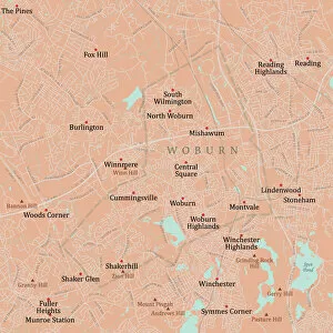
Background imageDigitally Generated Image Collection: MA Middlesex Woburn Vector Road Map

MA Middlesex Woburn Vector Road Map. All source data is in the public domain. U.S. Census Bureau Census Tiger. Used Layers: areawater, linearwater, roads, rails, cousub, pointlm, uac10

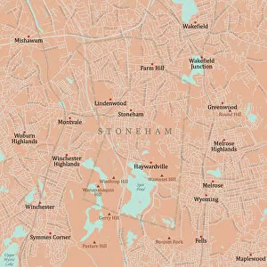
Background imageDigitally Generated Image Collection: MA Middlesex Stoneham Vector Road Map

MA Middlesex Stoneham Vector Road Map. All source data is in the public domain. U.S. Census Bureau Census Tiger. Used Layers: areawater, linearwater, roads, rails, cousub, pointlm, uac10

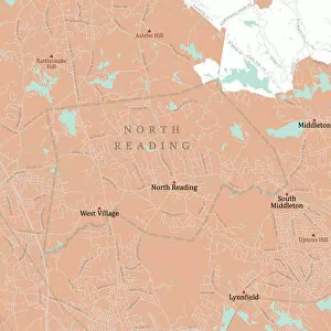
Background imageDigitally Generated Image Collection: MA Middlesex North Reading Vector Road Map

MA Middlesex North Reading Vector Road Map. All source data is in the public domain. U.S. Census Bureau Census Tiger. Used Layers: areawater, linearwater, roads, rails, cousub, pointlm, uac10

Background imageDigitally Generated Image Collection: MA Middlesex Pepperell Vector Road Map

MA Middlesex Pepperell Vector Road Map. All source data is in the public domain. U.S. Census Bureau Census Tiger. Used Layers: areawater, linearwater, roads, rails, cousub, pointlm, uac10

Background imageDigitally Generated Image Collection: MA Middlesex Shirley Vector Road Map

MA Middlesex Shirley Vector Road Map. All source data is in the public domain. U.S. Census Bureau Census Tiger. Used Layers: areawater, linearwater, roads, rails, cousub, pointlm, uac10

Background imageDigitally Generated Image Collection: MA Middlesex Reading Vector Road Map

MA Middlesex Reading Vector Road Map. All source data is in the public domain. U.S. Census Bureau Census Tiger. Used Layers: areawater, linearwater, roads, rails, cousub, pointlm, uac10

Background imageDigitally Generated Image Collection: MA Middlesex Sherborn Vector Road Map

MA Middlesex Sherborn Vector Road Map. All source data is in the public domain. U.S. Census Bureau Census Tiger. Used Layers: areawater, linearwater, roads, rails, cousub, pointlm, uac10

Background imageDigitally Generated Image Collection: MA Middlesex Stow Vector Road Map

MA Middlesex Stow Vector Road Map. All source data is in the public domain. U.S. Census Bureau Census Tiger. Used Layers: areawater, linearwater, roads, rails, cousub, pointlm, uac10

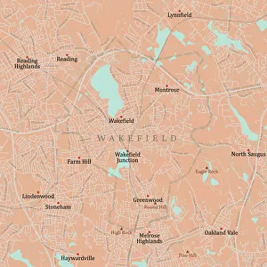
Background imageDigitally Generated Image Collection: MA Middlesex Wakefield Vector Road Map

MA Middlesex Wakefield Vector Road Map. All source data is in the public domain. U.S. Census Bureau Census Tiger. Used Layers: areawater, linearwater, roads, rails, cousub, pointlm, uac10

Background imageDigitally Generated Image Collection: MA Middlesex Watertown Town Vector Road Map

MA Middlesex Watertown Town Vector Road Map. All source data is in the public domain. U.S. Census Bureau Census Tiger. Used Layers: areawater, linearwater, roads, rails, cousub, pointlm, uac10

Background imageDigitally Generated Image Collection: MA Middlesex Townsend Vector Road Map

MA Middlesex Townsend Vector Road Map. All source data is in the public domain. U.S. Census Bureau Census Tiger. Used Layers: areawater, linearwater, roads, rails, cousub, pointlm, uac10

Background imageDigitally Generated Image Collection: MA Middlesex Sudbury Vector Road Map

MA Middlesex Sudbury Vector Road Map. All source data is in the public domain. U.S. Census Bureau Census Tiger. Used Layers: areawater, linearwater, roads, rails, cousub, pointlm, uac10

Background imageDigitally Generated Image Collection: MA Middlesex Winchester Vector Road Map

MA Middlesex Winchester Vector Road Map. All source data is in the public domain. U.S. Census Bureau Census Tiger. Used Layers: areawater, linearwater, roads, rails, cousub, pointlm, uac10

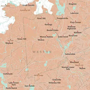
Background imageDigitally Generated Image Collection: MA Middlesex Weston Vector Road Map

MA Middlesex Weston Vector Road Map. All source data is in the public domain. U.S. Census Bureau Census Tiger. Used Layers: areawater, linearwater, roads, rails, cousub, pointlm, uac10

Background imageDigitally Generated Image Collection: MA Middlesex Wilmington Vector Road Map

MA Middlesex Wilmington Vector Road Map. All source data is in the public domain. U.S. Census Bureau Census Tiger. Used Layers: areawater, linearwater, roads, rails, cousub, pointlm, uac10

Background imageDigitally Generated Image Collection: MA Middlesex Tewksbury Vector Road Map

MA Middlesex Tewksbury Vector Road Map. All source data is in the public domain. U.S. Census Bureau Census Tiger. Used Layers: areawater, linearwater, roads, rails, cousub, pointlm, uac10

Background imageDigitally Generated Image Collection: MA Middlesex Waltham Vector Road Map

MA Middlesex Waltham Vector Road Map. All source data is in the public domain. U.S. Census Bureau Census Tiger. Used Layers: areawater, linearwater, roads, rails, cousub, pointlm, uac10

Background imageDigitally Generated Image Collection: MA Middlesex Tyngsborough Vector Road Map

MA Middlesex Tyngsborough Vector Road Map. All source data is in the public domain. U.S. Census Bureau Census Tiger. Used Layers: areawater, linearwater, roads, rails, cousub, pointlm, uac10

Background imageDigitally Generated Image Collection: MA Middlesex Wayland Vector Road Map

MA Middlesex Wayland Vector Road Map. All source data is in the public domain. U.S. Census Bureau Census Tiger. Used Layers: areawater, linearwater, roads, rails, cousub, pointlm, uac10


All Professionally Made to Order for Quick Shipping

"Exploring the Boundless World of Digitally Generated Images: From Snellen Charts to Capybaras and Everything In Between" A black and white illustration of a Snellen chart, showcasing the precision of digitally generated images. Colour coded jackets for greyhound race dogs, brought to life through digital artistry that adds vibrancy to the racing scene. An adrenaline-pumping waterskiing slalom course captured in a digitally enhanced image, highlighting the thrill of extreme sports. A map of the world with meticulously drawn lines marking boundaries of tectonic plates, illustrating how technology can visually depict complex geological phenomena. A snooker player gracefully maneuvering around a table in an intricately detailed digital illustration that captures every moment of this beloved sport. Costa Rica's beauty comes alive in a vector map created using advanced digital techniques, allowing us to explore its diverse landscapes from coastlines to rainforests. Water polo players immersed in action within a swimming pool while referees closely monitor each move - all brought together through stunning digital imagery. Navigating Ipswich Suffolk UK becomes effortless with a city street map crafted using cutting-edge technology, making it easier for residents and visitors alike to find their way around town. The netball goal ring and net stand out vividly against vibrant backgrounds thanks to digitally rendered images that enhance this popular team sport's visual appeal. Witness the elegance and intensity as a Kendo martial arts fighter holds his sword before him in an awe-inspiring digital illustration capturing both strength and gracefulness simultaneously. Delve into South America's wildlife with a captivating digital portrayal of the Capybara - showcasing its unique characteristics as one of nature's fascinating creatures. Four scullers rowing together seamlessly on a quad boat come alive through digitally enhanced imagery, emphasizing teamwork and synchronization on waterways worldwide.