
Gallery Of Maps Collection
Step back in time and explore the captivating "Gallery of Maps, " a treasure trove of historical cartography that will transport you to the 16th century

All Professionally Made to Order for Quick Shipping
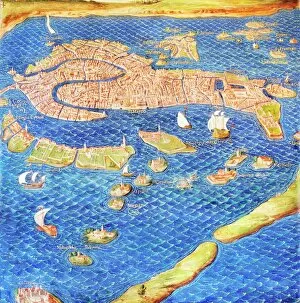
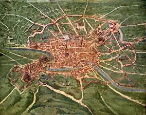
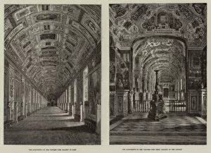
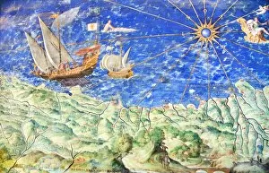
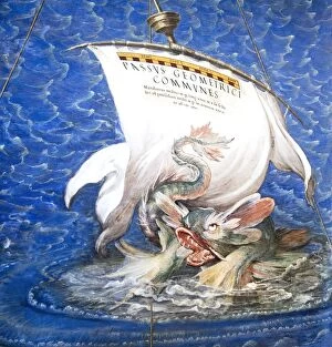
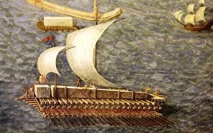
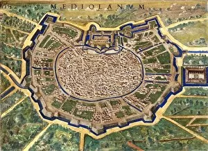
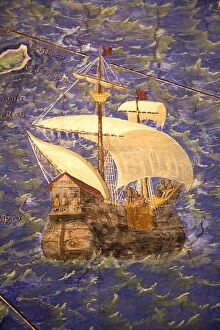
Step back in time and explore the captivating "Gallery of Maps, " a treasure trove of historical cartography that will transport you to the 16th century. Immerse yourself in the intricate details and exquisite artistry found within these ancient maps, each one offering a glimpse into the past. Marvel at the 16th Century Plan of Florence, where every street and building is meticulously depicted, allowing you to trace the footsteps of those who once walked its cobblestone paths. Lose yourself in Venice's enchanting waterways with a 16th-century map showcasing its labyrinthine canals and iconic landmarks. Take a virtual journey through Rome as you study the intricacies of a 16th Century Plan, revealing not only its grand architecture but also its vibrant streets teeming with life. Delve deeper into Vatican City with an engraving displaying The Apartments of the Vatican, providing insight into this sacred enclave's opulent interiors. Zoom in on Liguria's coastal beauty as you examine a detailed section from another 16th-century map. Let your imagination soar as you envision sailing along Sardinia's shores aboard an impressive galleon captured flawlessly on yet another historic map. Witness history unfold before your eyes as you observe how they transported Montecitorio Obelisk during that era—a feat both remarkable and awe-inspiring. Return to Liguria once more for another close-up view of this region's rich topography through yet another detailed segment from an ancient map. Continue your exploration by studying Milan’s urban layout through a stunningly preserved 16th Century Plan. Admire its architectural splendor while picturing yourself strolling down bustling streets filled with Renaissance charm. Finally, set sail on board a magnificent 16th Century Galleon—let it carry your imagination across vast oceans to distant lands awaiting discovery. These maps offer not just geographical information but serve as portals connecting us to our ancestors' journeys and the world they once knew.