Fraud Blocker Skip to main content

Geographical Collection (page 20)

"Journey through Time and Space: Exploring the Geographical Evolution" Al-Idrisi's World Map, 1154: Unveiling ancient cartographic wisdom

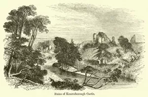
Background imageGeographical Collection: Ruins of Knaresborough Castle (engraving)

Ruins of Knaresborough Castle (engraving)
1092534 Ruins of Knaresborough Castle (engraving) by Sargent, G. F. (fl.1842-60) (after); Private Collection; (add.info.: Ruins of Knaresborough Castle)

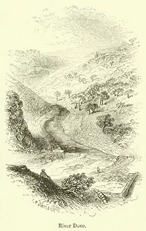
Background imageGeographical Collection: River Dove (engraving)

River Dove (engraving)
1092529 River Dove (engraving) by Sargent, G. F. (fl.1842-60) (after); Private Collection; (add.info.: River Dove. Illustration for The Gallery of Geography by Thomas Milner (William Mackenzie)

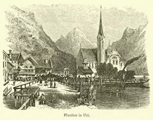
Background imageGeographical Collection: Fluellen in Uri (engraving)

Fluellen in Uri (engraving)
1092512 Fluellen in Uri (engraving) by English School, (19th century); Private Collection; (add.info.: Fluellen in Uri. Illustration for The Gallery of Geography by Thomas Milner (William Mackenzie)

Background imageGeographical Collection: Swiss Milkman (engraving)

Swiss Milkman (engraving)
1092510 Swiss Milkman (engraving) by English School, (19th century); Private Collection; (add.info.: Swiss Milkman. Illustration for The Gallery of Geography by Thomas Milner (William Mackenzie)

Background imageGeographical Collection: St Gingough (engraving)

St Gingough (engraving)
1092509 St Gingough (engraving) by English School, (19th century); Private Collection; (add.info.: St Gingough. Illustration for The Gallery of Geography by Thomas Milner (William Mackenzie)

Background imageGeographical Collection: Carrara (engraving)

Carrara (engraving)
1092488 Carrara (engraving) by English School, (19th century); Private Collection; (add.info.: Carrara. Illustration for The Gallery of Geography by Thomas Milner (William Mackenzie, c 1880)

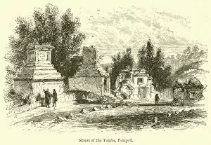
Background imageGeographical Collection: Street of the Tombs, Pompeii (engraving)

Street of the Tombs, Pompeii (engraving)
1092486 Street of the Tombs, Pompeii (engraving) by English School, (19th century); Private Collection; (add.info.: Street of the Tombs, Pompeii)

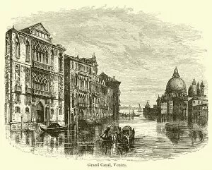
Background imageGeographical Collection: Grand Canal, Venice (engraving)

Grand Canal, Venice (engraving)
1092482 Grand Canal, Venice (engraving) by Jennings, E. (19th century); Private Collection; (add.info.: Grand Canal, Venice)

Background imageGeographical Collection: Stirling Castle (engraving)

Stirling Castle (engraving)
1092430 Stirling Castle (engraving) by English School, (19th century); Private Collection; (add.info.: Stirling Castle. Illustration for The Gallery of Geography by Thomas Milner (William Mackenzie)

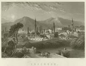
Background imageGeographical Collection: Erzeroum (engraving)

Erzeroum (engraving)
1092427 Erzeroum (engraving) by Ramage, J (fl.1860) (after); Private Collection; (add.info.: Erzeroum. Illustration for The Gallery of Geography by Thomas Milner (William Mackenzie, c 1880)

Background imageGeographical Collection: Oregon - Salmon Fisheries (chromolitho)

Oregon - Salmon Fisheries (chromolitho)
961407 Oregon - Salmon Fisheries (chromolitho) by American School, (19th century) (after); Private Collection; (add.info.: Oregon - Salmon Fisheries. Area in square miles 96, 030)

Background imageGeographical Collection: View of the Lavandieres Bridge at the Peasant House, mid-18th century

View of the Lavandieres Bridge at the Peasant House, mid-18th century. After Francois Boucher

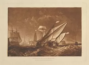
Background imageGeographical Collection: Entrance of Calais Harbour (Liber Studiorum, part XI, plate 55), January 1, 1816

Entrance of Calais Harbour (Liber Studiorum, part XI, plate 55), January 1, 1816

Background imageGeographical Collection: Aftermath of the Flood: human bodies strewn on dry land in the foreground

Aftermath of the Flood: human bodies strewn on dry land in the foreground, Noahs ark moored on a rocky outcrop beyond, from a series of engravings for the Liber Genesis, 1612

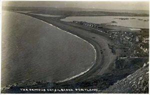
Background imageGeographical Collection: Chesil Beach, Dorset which runs for 18 miles from West Bay to the Isle of Portland

Chesil Beach, Dorset which runs for 18 miles from West Bay to the Isle of Portland. Date: circa 1920s

Background imageGeographical Collection: SPAIN. Ronda. Moorish baths (13th-14th centuries)

SPAIN. Ronda. Moorish baths (13th-14th centuries). Main hall

Background imageGeographical Collection: THE MAGNETIC POLE

THE MAGNETIC POLE
Determining the MAGNETIC POLE as opposed to the geographical pole - a problem scientists were well aware of in the 17th century Date: circa 1680

Background imageGeographical Collection: EyeUbiquitous_20100181

EyeUbiquitous_20100181
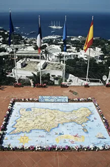
Italy, Campania, Capri, Map of Capri made from ceramic tiles, on a balcony, Marina Grande behind

Background imageGeographical Collection: EyeUbiquitous_20109998

EyeUbiquitous_20109998
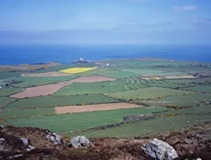
Wales, Pembrokeshire, View from Garn Fawr over farmland toward Stumble Head Lighthouse

Background imageGeographical Collection: EyeUbiquitous_20110005

EyeUbiquitous_20110005
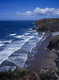
Wales, Pembrokeshire, St Brides Bay, View toward Rickets Head near Nolton Haven

Background imageGeographical Collection: EyeUbiquitous_20110010

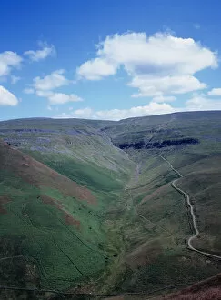
EyeUbiquitous_20110010
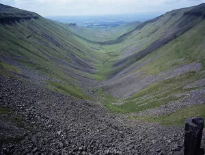
England, Cumbria, North West Penines, View of High Cup Gill from High Cup Nick

Background imageGeographical Collection: EyeUbiquitous_20110014

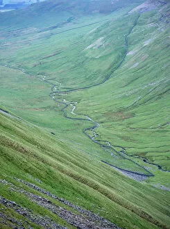
EyeUbiquitous_20110014
England, Cumbria, North West Penines, Great Rundel Beck viewed from Dufton Pike

Background imageGeographical Collection: EyeUbiquitous_20110013

EyeUbiquitous_20110013
England, Cumbria, North West Penines, Great Rundel Beck viewed from Dufton Pike

Background imageGeographical Collection: EyeUbiquitous_20110012

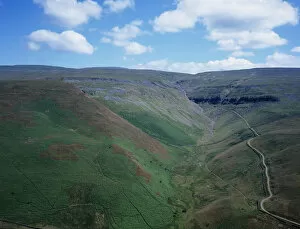
EyeUbiquitous_20110012
England, Cumbria, North West Penines, View over High Cup Gill

Background imageGeographical Collection: EyeUbiquitous_20110011

EyeUbiquitous_20110011
England, Cumbria, North West Penines, High Cup Nick showing hard limestone whish resisted glacial erosion

Background imageGeographical Collection: EyeUbiquitous_20110009

EyeUbiquitous_20110009
England, Cumbria, Great Shunner Fell, Nine Standards Rigg, 662m, cairns at the summit of Hartley Fell

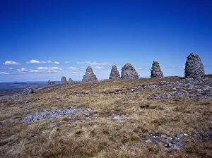
Background imageGeographical Collection: EyeUbiquitous_20110008

EyeUbiquitous_20110008
England, Cumbria, Great Shunner Fell, Nine Standards Rigg, 662m, cairns at the summit of Hartley Fell

Background imageGeographical Collection: EyeUbiquitous_20110024

EyeUbiquitous_20110024
France, Savoire, View over Lac du Montcenis in Parc Nationale de la Vanoise

Background imageGeographical Collection: EyeUbiquitous_20110017

EyeUbiquitous_20110017
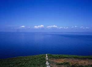
Scotland, Dumfries & Galloway, Rhinns of Galloway, Low quartz wall and view out to sea

Background imageGeographical Collection: EyeUbiquitous_20110001

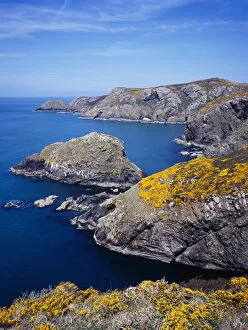
EyeUbiquitous_20110001
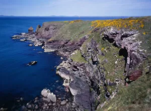
Wales, Pembrokeshire, St Brides Bay, View to Tower Point along coastal path with flowering Gorse

Background imageGeographical Collection: EyeUbiquitous_20109999

EyeUbiquitous_20109999
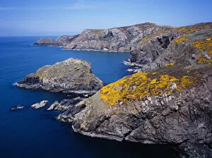
Wales, Pembrokeshire, Ynys Melyn, View along caost toward Pen Brush with flowering Gorse

Background imageGeographical Collection: EyeUbiquitous_20109993

EyeUbiquitous_20109993
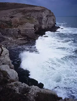
England, Dorset, Worth Matravers, Limestone seacliffs at disused winspit quarry

Background imageGeographical Collection: EyeUbiquitous_20109992

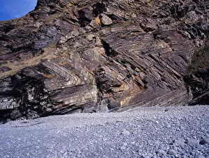
EyeUbiquitous_20109992
England, Cornwall, Millock Bay, Sea cliffs showing folding in rock face

Background imageGeographical Collection: EyeUbiquitous_20110000

EyeUbiquitous_20110000
Wales, Pembrokeshire, Ynys Melyn, View along caost toward Pen Brush with flowering Gorse

Background imageGeographical Collection: EyeUbiquitous_20110002

EyeUbiquitous_20110002
Wales, Pembrokeshire, St Brides Bay, View to Tower Point along coastal path with flowering Gorse

Background imageGeographical Collection: EyeUbiquitous_20109994

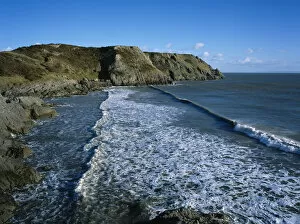
EyeUbiquitous_20109994
Wales, Gower Peninsula, Three Cliffs Bay, view across toward Shire Combe

Background imageGeographical Collection: EyeUbiquitous_20109990

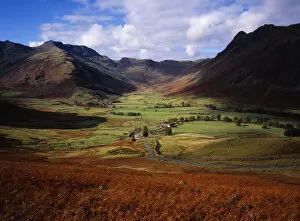
EyeUbiquitous_20109990
England, Cumbria, Langdale Fell, View up Mickleden with Langdale Pike on the left

Background imageGeographical Collection: EyeUbiquitous_20109989

EyeUbiquitous_20109989
England, Cumbria, Langdale Fell, View up Mickleden with Langdale Pike on the left

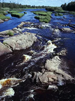
Background imageGeographical Collection: EyeUbiquitous_20100540

EyeUbiquitous_20100540
Finland, Vsanlaani, Kalajoki River, Area of rapids on river near village of the same name

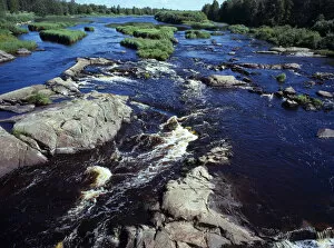
Background imageGeographical Collection: EyeUbiquitous_20100539

EyeUbiquitous_20100539
Finland, Vsanlaani, Kalajoki River, Area of rapids on river near village of the same name

Background imageGeographical Collection: EyeUbiquitous_20101694

EyeUbiquitous_20101694
England, East Sussex, Birling Gap, looking up at chalk cliff face showing various strata layers

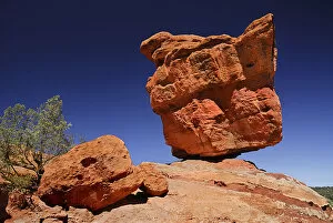
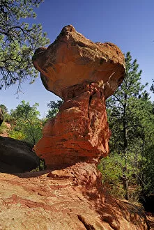
Background imageGeographical Collection: EyeUbiquitous_20104666

EyeUbiquitous_20104666
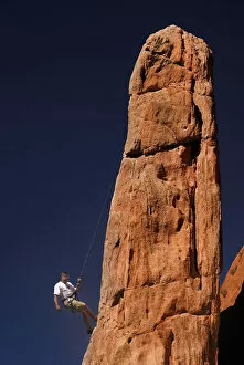
USA, Colorado, Colorada Springs, Garden of the Gods public park, balanced sandstone rock

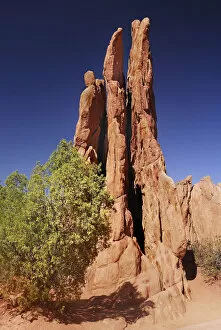
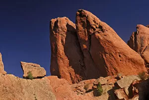
Background imageGeographical Collection: EyeUbiquitous_20104674

EyeUbiquitous_20104674
USA, Colorado, Colorada Springs, Garden of the Gods public park

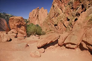
Background imageGeographical Collection: EyeUbiquitous_20104680

EyeUbiquitous_20104680
USA, Colorado, Colorada Springs, Garden of the Gods public park

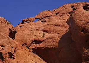
Background imageGeographical Collection: EyeUbiquitous_20104675

EyeUbiquitous_20104675
USA, Colorado, Colorada Springs, Garden of the Gods public park

Background imageGeographical Collection: EyeUbiquitous_20104673

EyeUbiquitous_20104673
USA, Colorado, Colorada Springs, Garden of the Gods public park

Background imageGeographical Collection: EyeUbiquitous_20104672

EyeUbiquitous_20104672
USA, Colorado, Colorada Springs, Garden of the Gods public park

Background imageGeographical Collection: EyeUbiquitous_20106

EyeUbiquitous_20106
USA, Colorado, Colorada Springs, Garden of the Gods public park


All Professionally Made to Order for Quick Shipping

"Journey through Time and Space: Exploring the Geographical Evolution" Al-Idrisi's World Map, 1154: Unveiling ancient cartographic wisdom, this map showcases the Islamic scholar's remarkable understanding of global geography. Continental Drift after 250 Million Years: Witnessing Earth's transformative power, this concept reveals how tectonic plates shaped our continents over millions of years. Malham Cove, Yorkshire Dales: A geological marvel standing tall in the picturesque Yorkshire Dales, showcasing nature's artistic prowess carved by ice and water. British Empire World Map, 19th Century: Tracing the vast expanse of an empire on which the sun never set; a testament to Britain's once-global dominance. James Craig Map of New Town, Edinburgh, Scotland (1768): The birth of urban planning captured in ink; explore Edinburgh’s meticulously designed New Town with its unique topography. Anglo-Saxon 10th Century World Map: Delving into medieval perceptions of our planet; discover how early societies envisioned their place within a world still shrouded in mystery. Catalan Atlas, 14th Century: Marvel at one of history’s most exquisite maps as it unveils Europe’s expanding knowledge during the Middle Ages – a true masterpiece. UK at Night from Space: Behold Britain illuminated like never before. This awe-inspiring view from space captures the vibrant tapestry that is modern-day United Kingdom after sundown. Orteliuss Map of Ottoman Empire (1570): Step back into time and witness one man’s meticulous depiction of an empire that spanned three continents - revealing cultural diversity and grandeur. Europe at Night - Satellite Image & Europe at Night - Illuminating Boundaries : Gaze upon two contrasting images capturing Europe under different lights – highlighting both unity and division across nations 17th Century World Map.