
Geological Collection
"Unveiling Earth's Ancient Secrets: A Journey through Geological Wonders" Embark on a captivating journey through time as we explore the fascinating world of geology


All Professionally Made to Order for Quick Shipping
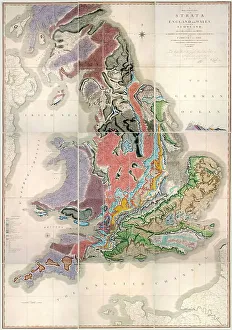
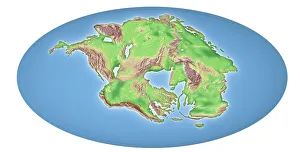
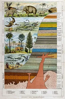
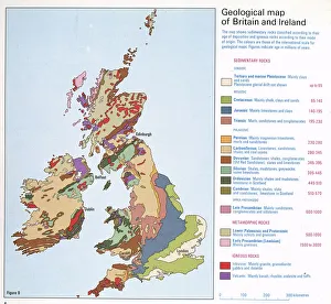
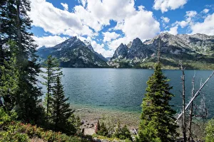
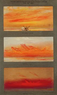
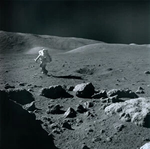
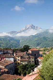
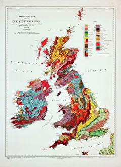
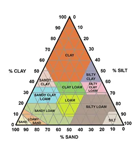
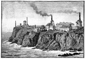
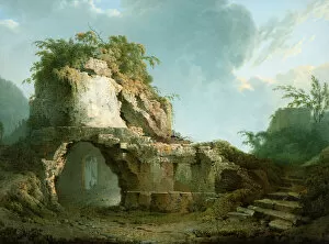
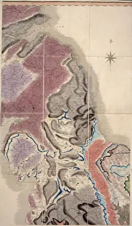
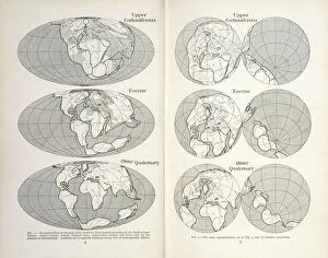
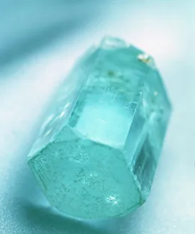
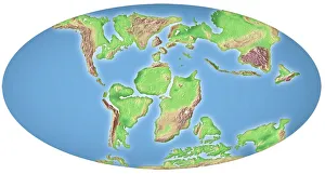
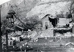
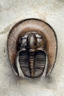
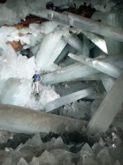
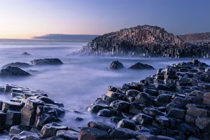
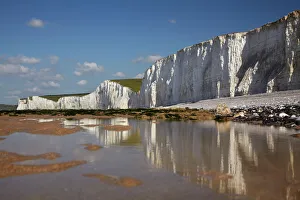
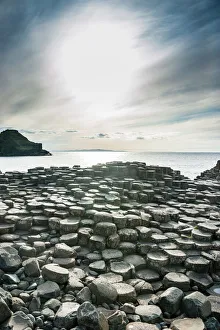
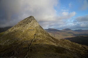
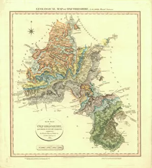
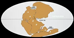
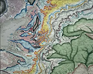
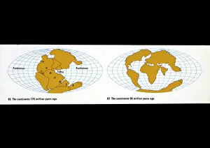
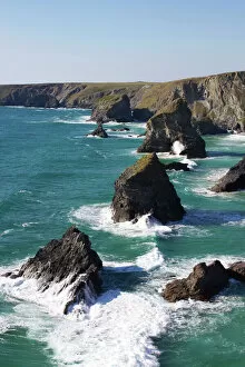
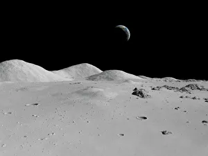
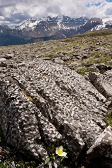
"Unveiling Earth's Ancient Secrets: A Journey through Geological Wonders" Embark on a captivating journey through time as we explore the fascinating world of geology. From William Smith's groundbreaking geological map to the awe-inspiring phenomenon of continental drift after 250 million years, every step reveals nature's hidden treasures. Marvel at the majestic Malham Cove in Yorkshire Dales, where towering limestone cliffs stand as a testament to millions of years processes. The intricate details captured in the geological map of Britain and Ireland showcase the diverse landscapes that have shaped our islands over centuries. Delve into history with a glimpse into 19th-century geological strata, unraveling layers upon layers of ancient stories etched within rocks. Jenny Lake stands serenely before the magnificent Teton range in Grand Teton National Park, reminding us how geology intertwines with breathtaking natural beauty across North America. Witness mankind's exploration beyond Earth as Apollo 17 astronauts ventured into space, capturing mesmerizing images that unveiled celestial bodies' geological wonders. Barga in Italy and Tenerife seen from satellite imagery offer glimpses into unique geological formations that leave us marveling at Mother Nature's artistry. Transport yourself back to 1883 when Krakatoa erupted, painting vibrant sunsets across skies worldwide - immortalized by artists who sought to capture this extraordinary display inspired by volcanic activity. The comprehensive British Islands' geological map unravels secrets buried deep beneath our feet while shedding light on their mineral wealth like copper and magnesium sulphate. Join us on this incredible expedition through time and space as we uncover Earth’s most remarkable geological phenomena – an adventure you won't want to miss.