Fraud Blocker Skip to main content

Glebe Close Collection

Glebe Close: A Journey Through Beautiful Landscapes Discover the hidden charm of Glebe Close

Background imageGlebe Close Collection: Shropshire TF9 2 Map

Shropshire TF9 2 Map
Postcode Sector Map of Shropshire TF9 2

Background imageGlebe Close Collection: Cambridge CB23 2 Map

Cambridge CB23 2 Map
Postcode Sector Map of Cambridge CB23 2

Background imageGlebe Close Collection: Worcester WR2 5 Map

Worcester WR2 5 Map
Postcode Sector Map of Worcester WR2 5

Background imageGlebe Close Collection: South Oxfordshire OX10 9 Map

South Oxfordshire OX10 9 Map
Postcode Sector Map of South Oxfordshire OX10 9

Background imageGlebe Close Collection: Huntingdonshire PE28 3 Map

Huntingdonshire PE28 3 Map
Postcode Sector Map of Huntingdonshire PE28 3

Background imageGlebe Close Collection: Kirklees HD8 9 Map

Kirklees HD8 9 Map
Postcode Sector Map of Kirklees HD8 9

Background imageGlebe Close Collection: Colchester CO7 7 Map

Colchester CO7 7 Map
Postcode Sector Map of Colchester CO7 7

Background imageGlebe Close Collection: Redditch B98 0 Map

Redditch B98 0 Map
Postcode Sector Map of Redditch B98 0

Background imageGlebe Close Collection: North Yorkshire YO51 9 Map

North Yorkshire YO51 9 Map
Postcode Sector Map of North Yorkshire YO51 9

Background imageGlebe Close Collection: North Yorkshire YO11 3 Map

North Yorkshire YO11 3 Map
Postcode Sector Map of North Yorkshire YO11 3

Background imageGlebe Close Collection: Wigan WN6 0 Map

Wigan WN6 0 Map
Postcode Sector Map of Wigan WN6 0

Background imageGlebe Close Collection: Cornwall TR12 6 Map

Cornwall TR12 6 Map
Postcode Sector Map of Cornwall TR12 6

Background imageGlebe Close Collection: Rother TN39 3 Map

Rother TN39 3 Map
Postcode Sector Map of Rother TN39 3

Background imageGlebe Close Collection: Ashford TN27 8 Map

Ashford TN27 8 Map
Postcode Sector Map of Ashford TN27 8

Background imageGlebe Close Collection: Cornwall TR9 6 Map

Cornwall TR9 6 Map
Postcode Sector Map of Cornwall TR9 6

Background imageGlebe Close Collection: Staffordshire ST11 9 Map

Staffordshire ST11 9 Map
Postcode Sector Map of Staffordshire ST11 9

Background imageGlebe Close Collection: Central Bedfordshire SG19 1 Map

Central Bedfordshire SG19 1 Map
Postcode Sector Map of Central Bedfordshire SG19 1

Background imageGlebe Close Collection: Hertfordshire SG14 3 Map

Hertfordshire SG14 3 Map
Postcode Sector Map of Hertfordshire SG14 3

Background imageGlebe Close Collection: Kennet SN8 2 Map

Kennet SN8 2 Map
Postcode Sector Map of Kennet SN8 2

Background imageGlebe Close Collection: Wiltshire SN6 8 Map

Wiltshire SN6 8 Map
Postcode Sector Map of Wiltshire SN6 8

Background imageGlebe Close Collection: York YO23 7 Map

York YO23 7 Map
Postcode Sector Map of York YO23 7

Background imageGlebe Close Collection: York YO32 5 Map

York YO32 5 Map
Postcode Sector Map of York YO32 5

Background imageGlebe Close Collection: Doncaster S64 0 Map

Doncaster S64 0 Map
Postcode Sector Map of Doncaster S64 0

Background imageGlebe Close Collection: Bassetlaw S80 3 Map

Bassetlaw S80 3 Map
Postcode Sector Map of Bassetlaw S80 3

Background imageGlebe Close Collection: Doncaster S64 8 Map

Doncaster S64 8 Map
Postcode Sector Map of Doncaster S64 8

Background imageGlebe Close Collection: Hillingdon UB10 8 Map

Hillingdon UB10 8 Map
Postcode Sector Map of Hillingdon UB10 8

Background imageGlebe Close Collection: Stockton-on-Tees TS21 4 Map

Stockton-on-Tees TS21 4 Map
Postcode Sector Map of Stockton-on-Tees TS21 4

Background imageGlebe Close Collection: Hampshire PO11 0 Map

Hampshire PO11 0 Map
Postcode Sector Map of Hampshire PO11 0

Background imageGlebe Close Collection: Hampshire RG26 3 Map

Hampshire RG26 3 Map
Postcode Sector Map of Hampshire RG26 3

Background imageGlebe Close Collection: Hampshire RG25 2 Map

Hampshire RG25 2 Map
Postcode Sector Map of Hampshire RG25 2

Background imageGlebe Close Collection: Chesterfield S42 5 Map

Chesterfield S42 5 Map
Postcode Sector Map of Chesterfield S42 5

Background imageGlebe Close Collection: South Buckinghamshire SL9 9 Map

South Buckinghamshire SL9 9 Map
Postcode Sector Map of South Buckinghamshire SL9 9

Background imageGlebe Close Collection: South Buckinghamshire SL6 0 Map

South Buckinghamshire SL6 0 Map
Postcode Sector Map of South Buckinghamshire SL6 0

Background imageGlebe Close Collection: Southend-on-Sea SS1 3 Map

Southend-on-Sea SS1 3 Map
Postcode Sector Map of Southend-on-Sea SS1 3

Background imageGlebe Close Collection: Rochford SS6 9 Map

Rochford SS6 9 Map
Postcode Sector Map of Rochford SS6 9

Background imageGlebe Close Collection: Rochford SS3 0 Map

Rochford SS3 0 Map
Postcode Sector Map of Rochford SS3 0

Background imageGlebe Close Collection: Wiltshire SP5 1 Map

Wiltshire SP5 1 Map
Postcode Sector Map of Wiltshire SP5 1

Background imageGlebe Close Collection: Preston PR2 8 Map

Preston PR2 8 Map
Postcode Sector Map of Preston PR2 8

Background imageGlebe Close Collection: East Lindsey PE25 1 Map

East Lindsey PE25 1 Map
Postcode Sector Map of East Lindsey PE25 1

Background imageGlebe Close Collection: Huntingdonshire PE19 6 Map

Huntingdonshire PE19 6 Map
Postcode Sector Map of Huntingdonshire PE19 6

Background imageGlebe Close Collection: Boston PE22 0 Map

Boston PE22 0 Map
Postcode Sector Map of Boston PE22 0

Background imageGlebe Close Collection: Fenland PE16 6 Map

Fenland PE16 6 Map
Postcode Sector Map of Fenland PE16 6

Background imageGlebe Close Collection: Fenland PE15 0 Map

Fenland PE15 0 Map
Postcode Sector Map of Fenland PE15 0

Background imageGlebe Close Collection: Fenland PE13 4 Map

Fenland PE13 4 Map
Postcode Sector Map of Fenland PE13 4

Background imageGlebe Close Collection: South Holland PE11 3 Map

South Holland PE11 3 Map
Postcode Sector Map of South Holland PE11 3

Background imageGlebe Close Collection: Cherwell OX25 2 Map

Cherwell OX25 2 Map
Postcode Sector Map of Cherwell OX25 2

Background imageGlebe Close Collection: West Norfolk PE31 6 Map

West Norfolk PE31 6 Map
Postcode Sector Map of West Norfolk PE31 6

Background imageGlebe Close Collection: Sussex PO20 3 Map

Sussex PO20 3 Map
Postcode Sector Map of Sussex PO20 3


All Professionally Made to Order for Quick Shipping

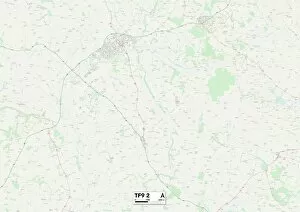
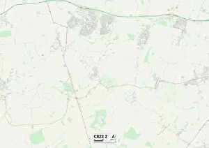
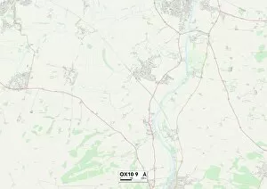
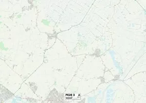
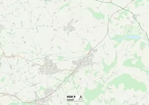
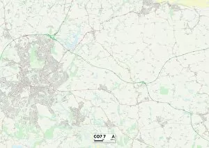
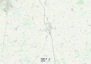
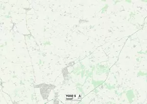
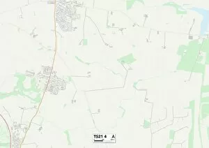
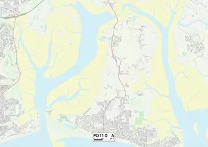
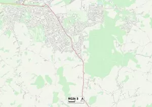
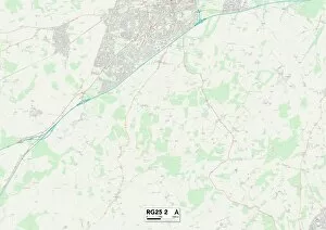
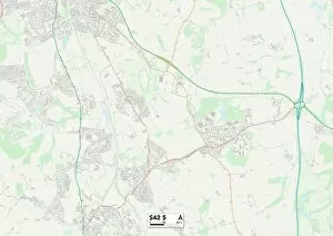
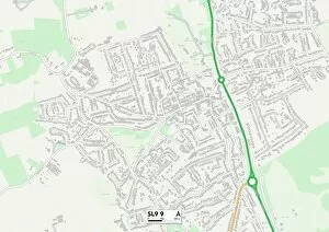
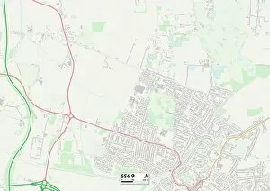
Glebe Close: A Journey Through Beautiful Landscapes Discover the hidden charm of Glebe Close, a collection of picturesque locations scattered across various regions in the UK. From the tranquil countryside of Shropshire to the vibrant streets of Cambridge, each address on this list offers its own unique appeal. In Shropshire's TF9 2 Map, Glebe Close welcomes you with rolling hills and lush greenery as far as the eye can see. The peaceful atmosphere is perfect for those seeking an escape from city life. Head south to Worcester's WR2 5 Map, where Glebe Close resides amidst a thriving community. Here, residents enjoy easy access to amenities while still being able to appreciate nature's beauty. For those yearning for a slice of South Oxfordshire's OX10 9 Map paradise, look no further than Glebe Close. This idyllic location boasts stunning landscapes and charming villages that will captivate your heart. Travel eastward to Huntingdonshire's PE28 3 Map and discover another gem within Glebe Close. Surrounded by picturesque meadows and quaint cottages, this address promises tranquility at every turn. Kirklees' HD8 9 Map is home to yet another enchanting spot within Glebe Close. With its breathtaking views and serene surroundings, it provides an ideal retreat for nature enthusiasts and peace-seekers alike. Colchester's CO7 7 Map brings us closer to coastal delights within Glebe Close. Immerse yourself in sandy beaches or explore charming seaside towns - there is something here for everyone. As we venture into Cambridge's CB23 2 Map territory within Glebe Close, architectural wonders await at every corner alongside prestigious educational institutions that contribute to the area’s intellectual vibrancy. Heading north towards North Yorkshire reveals two distinct addresses under our beloved name - YO51 9 Map & YO11 3 map- each offering their own unique charm.