
Gordon Street Collection
Gordon Street: A Journey Through the UK From Wakefield to Wigan, Manchester to Newham, and Angus to Blackburn with Darwen


All Professionally Made to Order for Quick Shipping
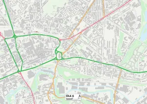
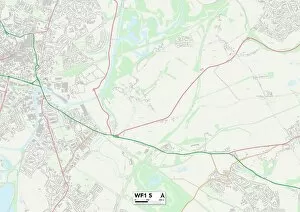
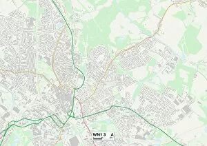
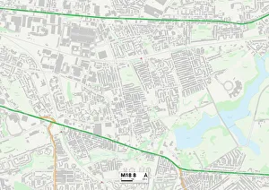
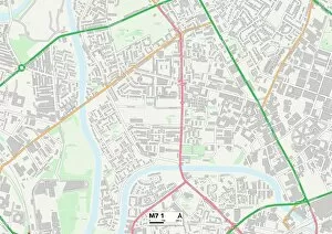
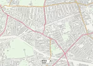
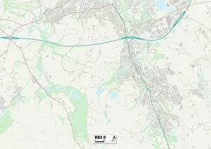
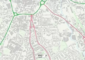
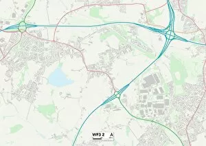
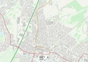
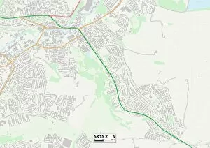
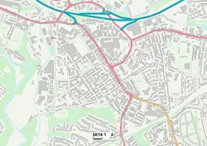
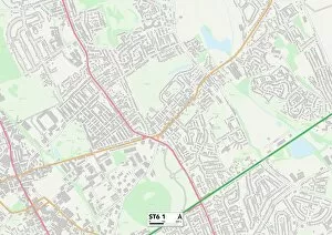
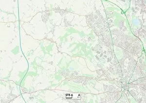
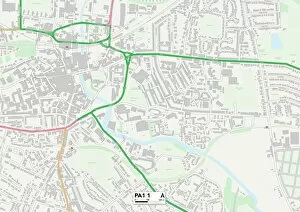
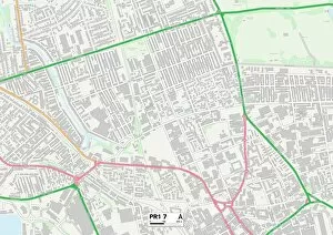
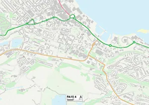
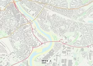
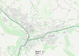
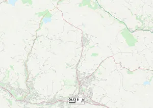
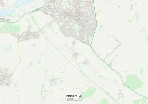
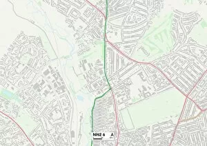
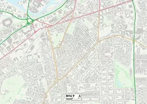
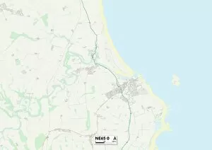
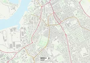
Gordon Street: A Journey Through the UK From Wakefield to Wigan, Manchester to Newham, and Angus to Blackburn with Darwen, it has left its mark across various cities in the UK. This seemingly ordinary street holds a multitude of stories within its name. Starting in Wakefield WF1 5 Map, Gordon Street winds through the bustling cityscape before making its way towards Wigan WN1 3 Map. Here, it intersects with other streets and becomes a hub of activity for locals and visitors alike. Continuing on our journey, we arrive at Manchester M18 8 Map where Gordon Street takes on a new character amidst the vibrant urban landscape, and is here that we witness the fusion of history and modernity as old buildings stand side by side with contemporary architecture. Moving eastwards, we find ourselves in Newham E13 0 Map where Gordon Street serves as a connection between different communities. Its presence brings people together from all walks of life, creating an atmosphere of diversity and inclusivity. Venturing further northward into Angus DD8 2 Map, Gordon Street reveals its rural charm against picturesque landscapes. Surrounded by nature's beauty, this street offers respite from the hustle and bustle of city life. Our next stop takes us to Blackburn with Darwen BB3 0 Map where Messrs Francis and James Smiths Warehouse stands proudly on Gordon Street. The engraving captures a glimpse into Glasgow's rich industrial heritage while reminding us of Scotland's contribution to commerce. Heading westwards towards Wolverhampton WV2 1 Map, Gordon Street showcases yet another facet of its identity. Here it intertwines with other roads forming a network that connects neighborhoods together like threads weaving through fabric. As our journey nears its end, we reach Wakefield WF7 6 Map followed closely by Leeds WF3 2 Map - two neighboring cities united by their shared link to Gordon Street.