
Grunge Image Technique Collection
"Exploring the world through a grunge lens: A captivating journey back in time" Step into a mesmerizing realm where history intertwines with art


All Professionally Made to Order for Quick Shipping
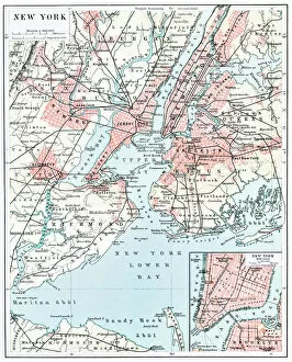
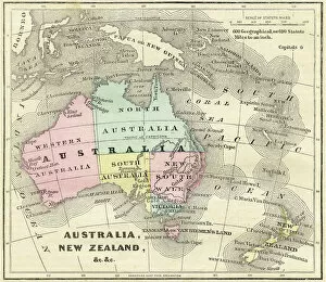
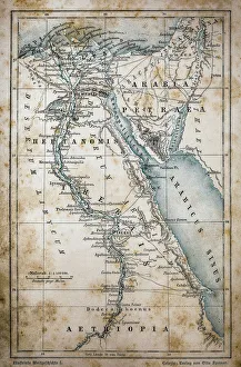
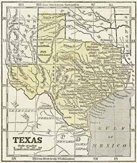
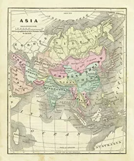
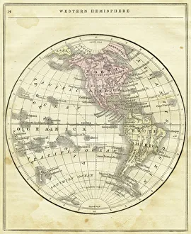
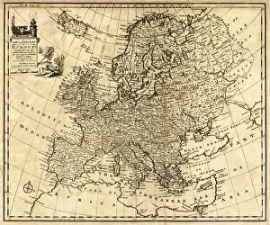
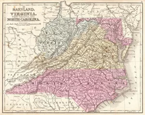
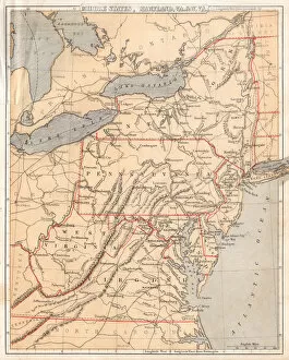
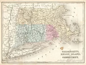
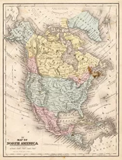
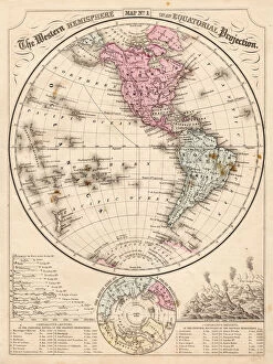
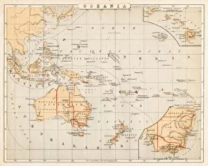
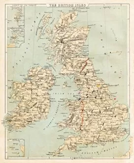
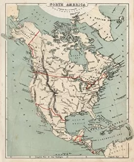
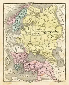
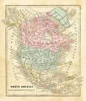
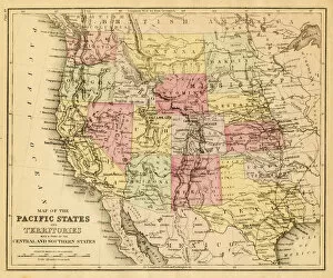
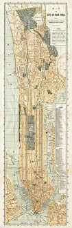
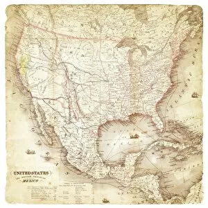
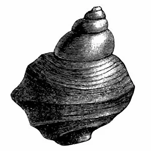
"Exploring the world through a grunge lens: A captivating journey back in time" Step into a mesmerizing realm where history intertwines with art, as we delve into the captivating technique of grunge imagery. With each stroke and texture, these vintage maps transport us to distant lands and bygone eras, offering a unique perspective on our ever-changing world. Unveiling the secrets of ancient civilizations, let your eyes wander across the intricate lines of an Egyptian map. Feel the allure of mystery and wonder as you trace the Nile's path through this mesmerizing land steeped in rich heritage. Traveling further westward, immerse yourself in New York City's past. Unearth forgotten streets and landmarks on a 1896 map that reveals how this bustling metropolis has evolved over time. Marvel at its transformation from humble beginnings to one of the most iconic cities on Earth. Venturing down under, discover Australia and New Zealand as they appeared in 1856. Observe their unspoiled beauty before modernization took hold; witness vast landscapes waiting to be explored by pioneers seeking new horizons. Intriguingly shifting focus towards Texas, embark on a visual voyage through time with maps dating back to 1867, 1856, and even earlier - 1855. Witness how borders shifted while exploring this diverse state's evolution from wild frontiers to thriving communities. Dive beneath tranquil waters next as we explore common carp anatomy – an unexpected yet fascinating addition to our grunge collection. Delve into nature's intricacies with detailed illustrations showcasing every fin and scale; it’s an extraordinary blend of science meets artistry. Zooming out for a broader view, let your gaze sweep across United States maps from both 1876 and 1869. Trace America's expansion westward during pivotal moments in history – marvel at territories transforming into states while envisioning pioneers forging paths towards manifest destiny. Continuing our journey eastward, a 1856 map of Asia awaits.