
Haiti Collection
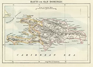
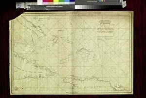
"Haiti: A Tapestry of History, Culture, and Resilience" Step back in time to 1883 with the Haiti and Dominican Republic map


All Professionally Made to Order for Quick Shipping
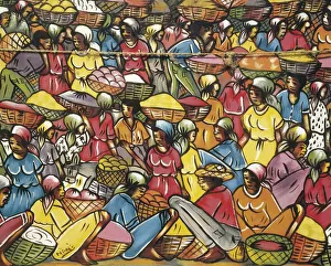
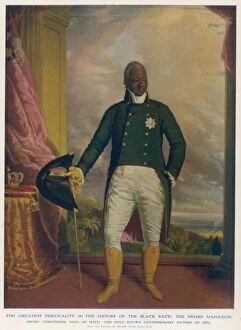
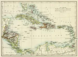
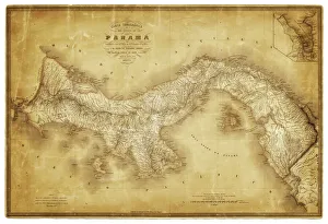
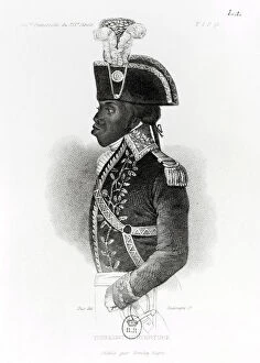
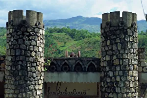
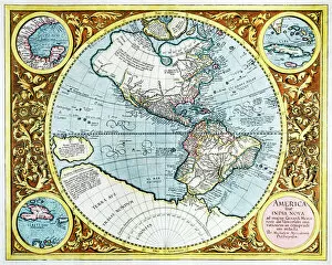
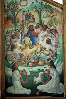
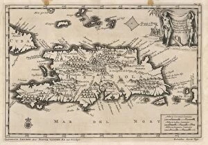
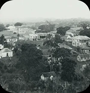
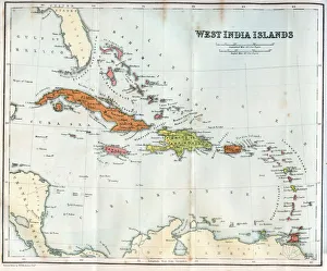
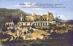
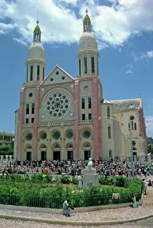
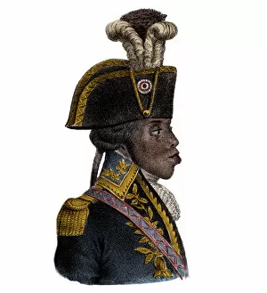
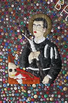
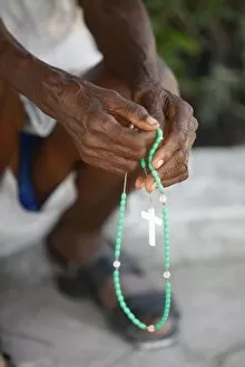
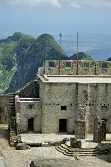
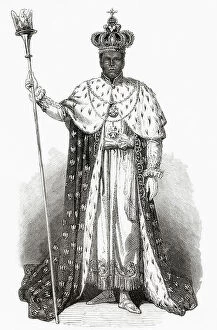
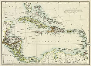
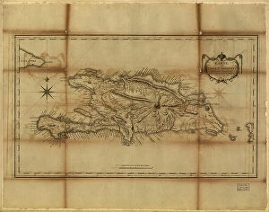
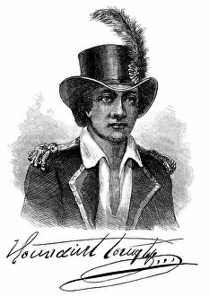
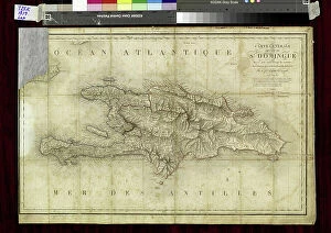
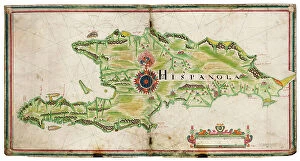
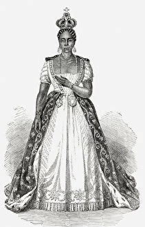
"Haiti: A Tapestry of History, Culture, and Resilience" Step back in time to 1883 with the Haiti and Dominican Republic map, witnessing the intertwined destinies of these Caribbean nations. Explore the legacy of Henri Christophe, a visionary leader who shaped Haiti's history. Marvel at the breathtaking view over Cap Haitien, where the vibrant spirit comes alive. Immerse yourself in Port-au-Prince's bustling market scene, where colors and aromas blend harmoniously. Travel through time to the 1870s Caribbean islands, discovering their enchanting beauty and rich heritage. Visit the iconic Old Barbancourt rum factory established in 1765; its walls whisper tales of craftsmanship passed down through generations. Unveil Toussaint L'Ouverture's portrait from Universal History—a symbol of courage and resistance that forever changed Haiti's destiny. Stand before the majestic Haiti Royal Palace as it stands tall amidst historical turbulence. Experience Wilson Bigaud's captivating vision of heaven painted on a tryptych panel in 1957—an artistic masterpiece that reflects both faith and hope within Port au Prince. Trace your fingers along an ancient map depicting Hispaniola—the island that holds secrets dating back centuries. Finally, let a 17th-century map guide you through the New World—uncovering stories untold and connecting dots across continents. Haiti beckons you with open arms to discover its tapestry woven by history, culture, resilience—a land where past meets present for an unforgettable journey into Central America's heart.