
Hemisphere Collection
Discover the wonders of our world and beyond with these captivating glimpses into different hemispheres


All Professionally Made to Order for Quick Shipping
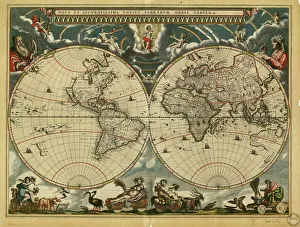
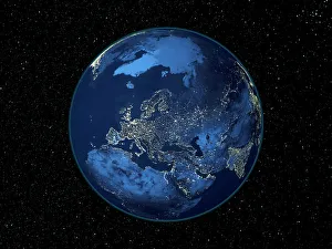
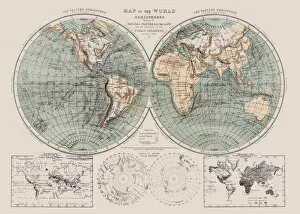
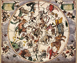
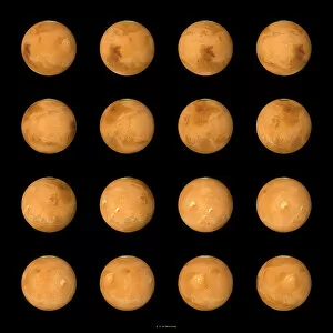
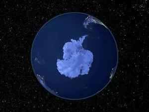
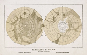
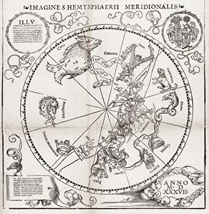
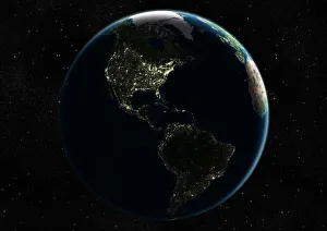
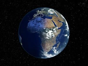
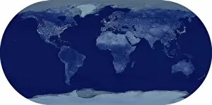
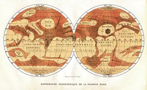
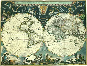
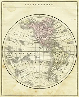
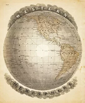
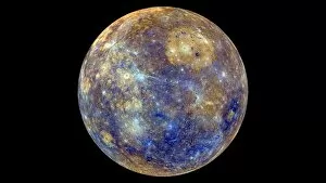
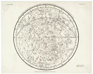
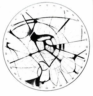
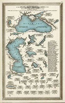
Discover the wonders of our world and beyond with these captivating glimpses into different hemispheres. 🌍✨ Step back in time to the 17th century as you explore a vintage world map, meticulously crafted by skilled cartographers. Marvel at how they envisioned Earth's continents and oceans before satellite imagery revolutionized our understanding. Zoom out from this historical perspective and witness Earth's breathtaking beauty from space, captured by satellites orbiting high above. Behold the mesmerizing blue planet we call home, its delicate features visible even from afar. Focus your gaze on North America at night, where dazzling city lights illuminate the darkness like a constellation of stars. This satellite image showcases human activity intertwined with nature's grandeur—a testament to our interconnectedness. Venture beyond Earth itself and delve into celestial realms with Andreas Cellarius' Atlas Coelestis. Lose yourself in intricate star charts that guided ancient astronomers across the Northern Hemisphere, unlocking secrets of the cosmos. Embark on an extraterrestrial journey to Mars through composite satellite images revealing its enigmatic landscapes. Witness rugged terrains and mysterious formations that ignite curiosity about what lies beyond our own planet. Shift your focus closer to home again—this time exploring Australia through a stunning satellite image. Admire its vastness and diverse ecosystems that make it truly unique among continents. Delve deeper into planetary exploration as you examine Venus' radar map showcasing its icy North Pole—an otherworldly sight unlike anything found on Earth. Uncover hidden mysteries lurking within this neighboring planet's polar region. Transport yourself further back in time with Carel Allard's Celestial Planisphere of the Northern Hemisphere from 1700s Amsterdam. Immerse yourself in an era when maps were works of art, intricately depicting cosmic wonders awaiting discovery. Return once more to South America at night—a radiant tapestry woven by urban centers nestled amidst lush rainforests and towering mountains. This satellite image captures the vibrant spirit of a continent that never sleeps.