mail_outline sales@mediastorehouse.com
Framed Print
Canvas Print
Metal Print
Photographic Print
Poster Print
Fine Art Print
Jigsaw Puzzle
Photo Mug
Greetings Card
Cushion
Mouse Mat
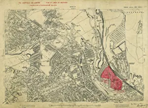
Plan of lands at Neepsend by The Sheffield Gas Company, 1929Original at Local Studies S22S
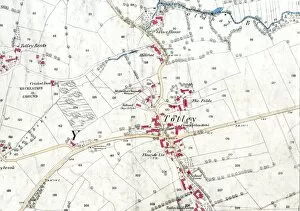
Ordnance Survey map: Totley, 1876Scale: 25 inches to 1 mile.Original at Sheffield Local Studies Library: Derbyshire sheet XI.15.Includes: Old Hay Brook, Grove House, Crown Inn, Hillfoot, Totley Bents, Cricket Inn, recreation ground
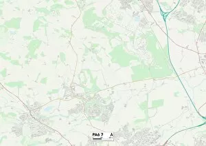
Renfrewshire PA6 7 MapPostcode Sector Map of Renfrewshire PA6 7
Sheffield S6 2 MapPostcode Sector Map of Sheffield S6 2
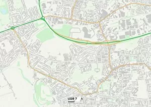
Leeds LS28 7 MapPostcode Sector Map of Leeds LS28 7
East Dunbartonshire G61 3 MapPostcode Sector Map of East Dunbartonshire G61 3
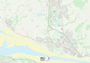
West Dunbartonshire G82 4 MapPostcode Sector Map of West Dunbartonshire G82 4
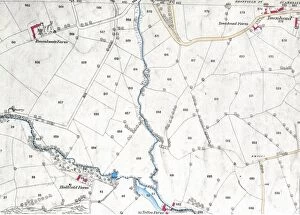
Ordnance Survey map: Totley, 1876Scale: 25 inches to 1 mile. Original at Sheffield Local Studies Library: Derbyshire sheet XI.15. Includes: Hallfield Farm, Totley Range, Roundseats Farm, quarry, Townhead in Dronfield, Redcar Brook
Railway Station, Hillfoot, Bearsden, ScotlandRailway Station, Hillfoot, Bearsden, near Glasgow, Dunbartonshire, Scotland. Date: 1903