
Historical Mapping Collection
Historical mapping provides a fascinating glimpse into the past, allowing us to explore and understand how our landscapes have evolved over time


All Professionally Made to Order for Quick Shipping
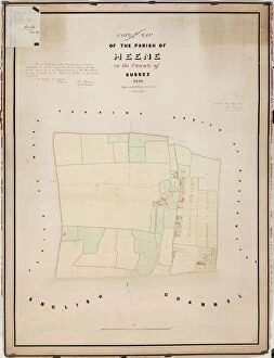
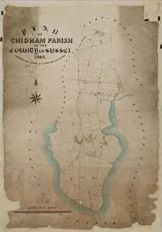
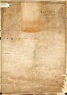
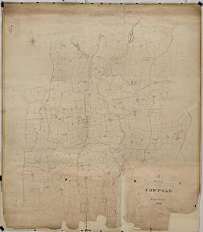
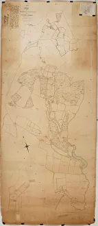
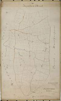
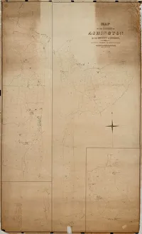
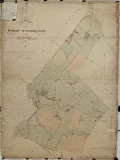
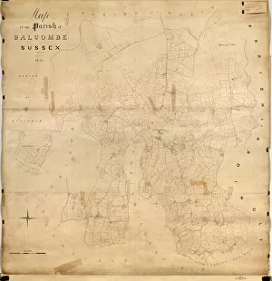
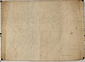
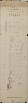
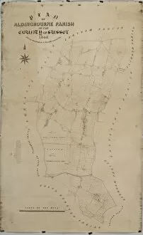
Historical mapping provides a fascinating glimpse into the past, allowing us to explore and understand how our landscapes have evolved over time. The Cowfold tithe map of 1840 reveals the intricate details of this West Sussex village, showcasing its agricultural layout and land ownership patterns. Similarly, the Duncton tithe map from 1837 offers insights into this rural community's development during the early Victorian era. Moving along the coast to Chidham, we find another valuable resource in the form of the Chidham Tithe Map of 1846. This document sheds light on land usage and boundaries within this picturesque parish near Chichester. Meanwhile, Harting's tithe map from 1840 unveils a snapshot of life in this South Downs village during a period marked by significant social and economic changes. Delving deeper into historical cartography, we encounter the Chithurst Tithe Map dating back to around 1840. This document showcases not only land divisions but also highlights religious institutions such as churches or chapels that were integral parts of local communities at that time. Further north in Albourne, an intriguing story unfolds through its Tithe Map from 1838. Here we can trace how agriculture shaped this area's landscape and see evidence of smallholdings alongside larger estates. Venturing westward to Ashington brings us face-to-face with their tithe map from 1847—a testament to how farming practices influenced settlement patterns in rural West Sussex. Balcombe's Tithe Map created in 1842 allows us to visualize how this Mid-Sussex village was organized agriculturally during that period while Heene's tithe map from 1838 offers insight into Worthing’s coastal evolution. Heading southwards towards Fishbourne reveals New Fishbourne’s tithe map dated back to 1839 which portrays an evolving landscape where agriculture played a central role amidst growing urbanization pressures nearby Chichester city.