
Ignazio Danti Collection
Ignazio Danti: Mapping the Renaissance World Step into the 16th century and discover the remarkable works of Ignazio Danti

All Professionally Made to Order for Quick Shipping
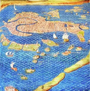
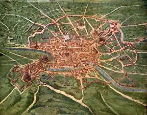
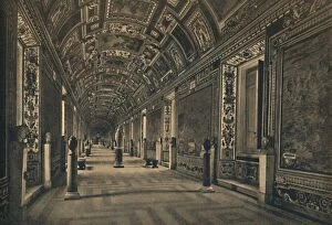
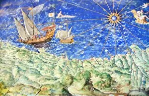
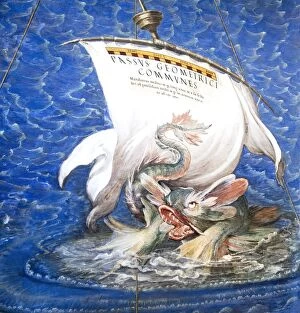
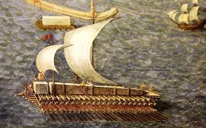
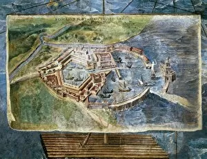
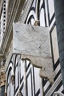
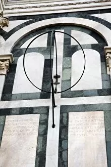
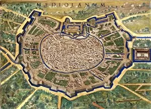
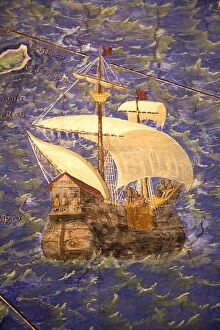
Ignazio Danti: Mapping the Renaissance World Step into the 16th century and discover the remarkable works of Ignazio Danti, a renowned Italian cartographer and mathematician. Known for his intricate maps and astronomical instruments, Danti's contributions to the field of geography are truly extraordinary. One of his notable creations is the 16th Century Plan of Florence, a meticulously detailed map that showcases the city's architectural wonders and bustling streets. Through this masterpiece, we can witness how Florence thrived during this era. Another gem in Danti's collection is the 16th-century map of Venice. This captivating artwork captures every canal and bridge, allowing us to navigate through one of Italy's most enchanting cities as it was centuries ago. Dive deeper into history with Danti's 16th Century Plan of Rome. This magnificent depiction reveals ancient landmarks like the Colosseum and St. Peter's Basilica, providing an invaluable glimpse into Rome's grandeur during its golden age. For those seeking even more geographical marvels, head over to Roma - Vatican Palace - Gallery of Geographical Maps where you'll find stunning frescoes showcasing various regions across Italy. Among these masterpieces lies a mesmerizing detail from Danti’s map depicting Liguria – a testament to his meticulous attention to detail. Speaking of Liguria, another breathtaking detail from one such map transports us back in time as we explore its coastal beauty. From charming towns like Portofino to picturesque landscapes along Cinque Terre, this region comes alive under Danti’s skilled hand. But it doesn't stop there. Witness how monumental structures were transported with precision through Danti’s portrayal of Transporting Montecitorio Obelisk – an engineering feat that still astounds today. Beyond mapping terrestrial wonders, it also delved into celestial realms with his astronomical quadrant and equinoctial armillary instruments.