
John And Son Collection
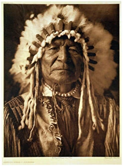
"John and Son: Mapping the World's History" Step into the world of cartography with John Andrew & Son, a renowned artist capturing Sitting Bear - Arikara in 1908


All Professionally Made to Order for Quick Shipping
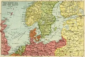
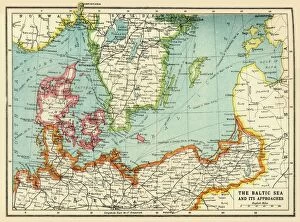
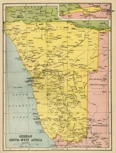
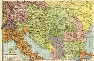
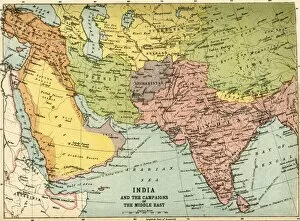
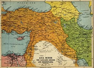
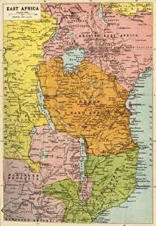
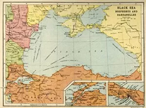
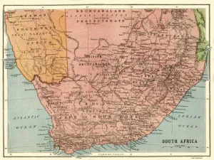
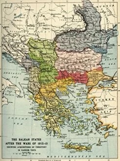
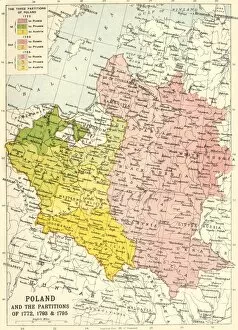
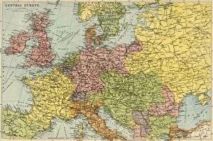
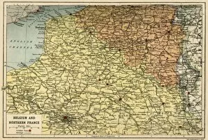
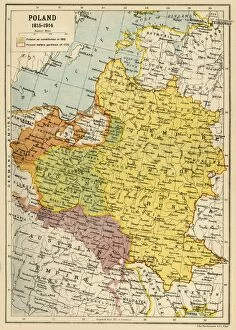
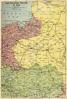
"John and Son: Mapping the World's History" Step into the world of cartography with John Andrew & Son, a renowned artist capturing Sitting Bear - Arikara in 1908. Their artistic prowess brings history to life, showcasing cultures that transcend time. Explore the intricate details of the North Sea and Baltic through John Bartholomew & Son's map from 1914. This masterpiece provides a glimpse into Europe's maritime heritage, reminding us of its significance during times of conflict. Delve deeper into history as you witness The Baltic Sea and Its Approaches during the First World War. Created by John Bartholomew & Son around 1915, this map unveils strategic routes that shaped military operations in this tumultuous era. Travel across continents with John Bartholomew & Son's Map of German South West Africa from the First World War period. Uncover how borders shifted amidst global conflicts, leaving indelible imprints on nations' identities. Witness Austria-Hungary and Neighboring Lands through an intricately detailed map crafted by John Bartholomew & Son in 1920. This visual representation showcases political boundaries that defined Central European dynamics after WWI. Embark on a journey through Africa with Political Map of Africa (1914) by John Bartholomew & Son. Discover colonial influences intertwined within each nation's story while appreciating their diverse landscapes and rich cultural heritage. Unravel historical complexities along the Austro-Italian frontier using a meticulously designed map from WWI by John Bartholomew & Son (c1920). Trace territorial disputes that once divided these regions but now stand as testaments to diplomacy. Immerse yourself in Asia Minor, Caucasus Region, and Mesopotamia during WWI with another masterpiece by John Bartholomew & Son (c1920). Witness pivotal battlegrounds where empires clashed for dominance amid shifting alliances.