
John Tallis Collection
John Tallis was a renowned cartographer in the 19th century, known for his exquisite old maps that captured the essence of various cities and regions


All Professionally Made to Order for Quick Shipping
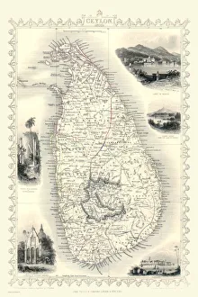
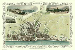
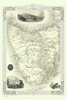
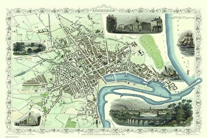
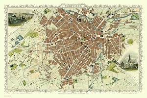
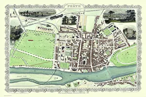
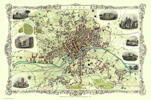
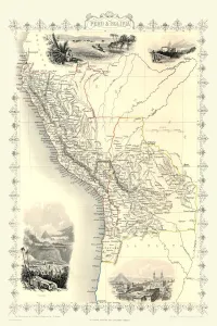
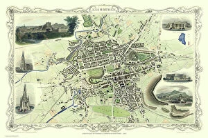
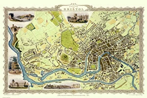
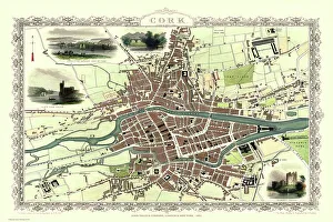
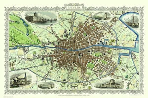
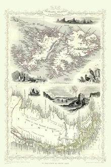
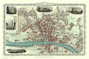
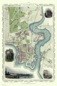
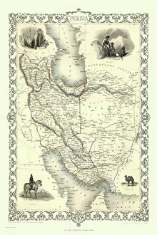
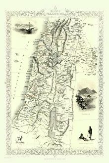
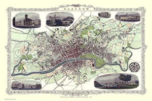
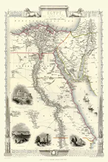
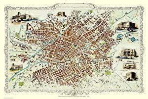
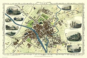
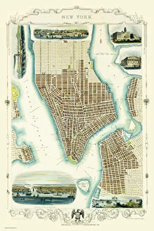
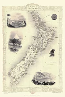
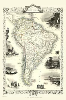
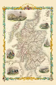
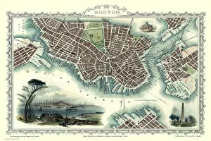
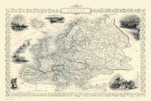
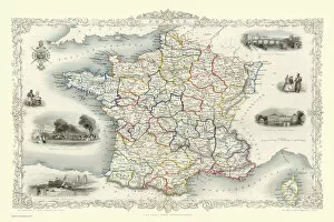
John Tallis was a renowned cartographer in the 19th century, known for his exquisite old maps that captured the essence of various cities and regions. His detailed craftsmanship is evident in works like the "Old Map of Brighton 1851 by John Tallis, " which showcases the charming coastal town with its intricate streets and landmarks. Similarly, his "Old Map of Bath 1851 by John Tallis" transports us back to the Georgian era, revealing the city's architectural splendor. Tallis's talent extended beyond England; he also created captivating maps such as the "Old Map of Birmingham 1851 by John Tallis, " offering a glimpse into this industrial powerhouse during its Victorian heyday. The "Old Map of Sheffield 1851 by John Tallis" unveils an emerging steel city, capturing its growth and transformation. Venturing further afield, we find ourselves exploring Van Diemens Island (now Tasmania) through Tallis's map from 1851. This depiction provides insight into Australia's colonial history and highlights Tasmania's natural beauty. Moving northward to Ireland, we encounter another gem: the "Old Map of Belfast 1851 by John Tallis. " It reveals Belfast as a thriving port city with bustling trade routes—a testament to its maritime heritage. Meanwhile, Scotland is showcased in maps like the "Old Map of Aberdeen 1851 by John Tallis, " where we witness this historic granite city nestled between rolling hills and picturesque coastlines. Back in England, we explore more urban landscapes through works like the "Old Map of Bradford 1851 by John Tallis. " This map captures Bradford at its textile industry peak—an important center for wool production during that time. Additionally, there is an enchanting portrayal of Perth Scotland on display in his map from that same year—its ancient charm preserved within every stroke. As our journey continues across Britain, we stumble upon Leeds through TalIIs' eyes in the "Old Map of Leeds 1851 by John Tallis.