Fraud Blocker Skip to main content

Keats Avenue Collection

Welcome to Keats Avenue, a road that stretches across various locations in the UK

Background imageKeats Avenue Collection: Wigan WN3 5 Map

Wigan WN3 5 Map
Postcode Sector Map of Wigan WN3 5

Background imageKeats Avenue Collection: Wigan WN6 8 Map

Wigan WN6 8 Map
Postcode Sector Map of Wigan WN6 8

Background imageKeats Avenue Collection: Staffordshire ST17 9 Map

Staffordshire ST17 9 Map
Postcode Sector Map of Staffordshire ST17 9

Background imageKeats Avenue Collection: Tameside M43 7 Map

Tameside M43 7 Map
Postcode Sector Map of Tameside M43 7

Background imageKeats Avenue Collection: Newham E16 1 Map

Newham E16 1 Map
Postcode Sector Map of Newham E16 1

Background imageKeats Avenue Collection: Worcester WR3 8 Map

Worcester WR3 8 Map
Postcode Sector Map of Worcester WR3 8

Background imageKeats Avenue Collection: Wigan WN5 7 Map

Wigan WN5 7 Map
Postcode Sector Map of Wigan WN5 7

Background imageKeats Avenue Collection: New Forest SO41 0 Map

New Forest SO41 0 Map
Postcode Sector Map of New Forest SO41 0

Background imageKeats Avenue Collection: Sunderland SR5 2 Map

Sunderland SR5 2 Map
Postcode Sector Map of Sunderland SR5 2

Background imageKeats Avenue Collection: Cannock Chase WS11 4 Map

Cannock Chase WS11 4 Map
Postcode Sector Map of Cannock Chase WS11 4

Background imageKeats Avenue Collection: Hampshire PO6 4 Map

Hampshire PO6 4 Map
Postcode Sector Map of Hampshire PO6 4

Background imageKeats Avenue Collection: Havering RM3 7 Map

Havering RM3 7 Map
Postcode Sector Map of Havering RM3 7

Background imageKeats Avenue Collection: Reigate and Banstead RH1 1 Map

Reigate and Banstead RH1 1 Map
Postcode Sector Map of Reigate and Banstead RH1 1

Background imageKeats Avenue Collection: Fylde PR4 1 Map

Fylde PR4 1 Map
Postcode Sector Map of Fylde PR4 1

Background imageKeats Avenue Collection: Rochdale OL12 7 Map

Rochdale OL12 7 Map
Postcode Sector Map of Rochdale OL12 7

Background imageKeats Avenue Collection: Calderdale OL14 8 Map

Calderdale OL14 8 Map
Postcode Sector Map of Calderdale OL14 8

Background imageKeats Avenue Collection: South Kesteven NG31 9 Map

South Kesteven NG31 9 Map
Postcode Sector Map of South Kesteven NG31 9

Background imageKeats Avenue Collection: Northumberland NE24 5 Map

Northumberland NE24 5 Map
Postcode Sector Map of Northumberland NE24 5

Background imageKeats Avenue Collection: South Tyneside NE35 9 Map

South Tyneside NE35 9 Map
Postcode Sector Map of South Tyneside NE35 9

Background imageKeats Avenue Collection: Ashfield NG17 2 Map

Ashfield NG17 2 Map
Postcode Sector Map of Ashfield NG17 2

Background imageKeats Avenue Collection: Tameside M34 7 Map

Tameside M34 7 Map
Postcode Sector Map of Tameside M34 7

Background imageKeats Avenue Collection: Knowsley L35 2 Map

Knowsley L35 2 Map
Postcode Sector Map of Knowsley L35 2

Background imageKeats Avenue Collection: Lancaster LA5 8 Map

Lancaster LA5 8 Map
Postcode Sector Map of Lancaster LA5 8

Background imageKeats Avenue Collection: Gloucester GL2 5 Map

Gloucester GL2 5 Map
Postcode Sector Map of Gloucester GL2 5

Background imageKeats Avenue Collection: Derby DE23 4 Map

Derby DE23 4 Map
Postcode Sector Map of Derby DE23 4

Background imageKeats Avenue Collection: North Lincolnshire DN17 1 Map

North Lincolnshire DN17 1 Map
Postcode Sector Map of North Lincolnshire DN17 1

Background imageKeats Avenue Collection: Braintree CM7 1 Map

Braintree CM7 1 Map
Postcode Sector Map of Braintree CM7 1

Background imageKeats Avenue Collection: Allerdale CA14 4 Map

Allerdale CA14 4 Map
Postcode Sector Map of Allerdale CA14 4

Background imageKeats Avenue Collection: Birmingham B10 0 Map

Birmingham B10 0 Map
Postcode Sector Map of Birmingham B10 0


All Professionally Made to Order for Quick Shipping

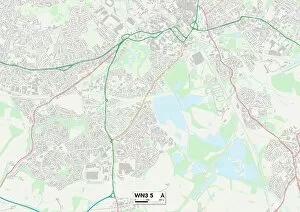
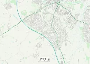
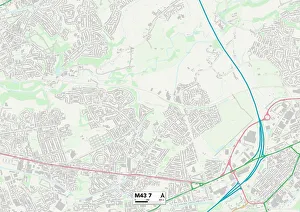
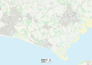
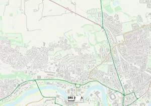
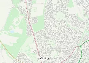
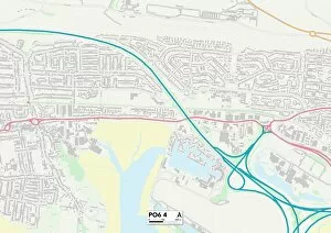
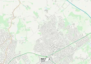
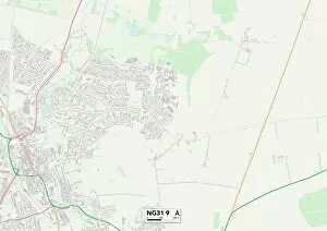
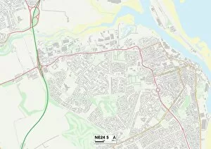
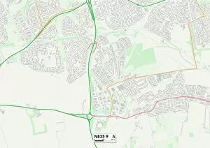
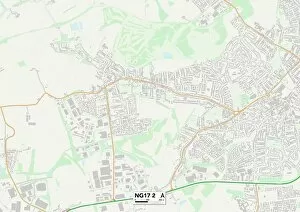
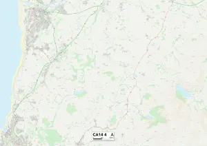
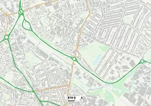
Welcome to Keats Avenue, a road that stretches across various locations in the UK. From Wigan to Staffordshire, Tameside to Newham, Worcester to Sunderland, and many more places in between, this avenue connects communities far and wide. Starting in Wigan WN6 8 Map, Keats Avenue sets off on its journey through bustling neighborhoods. As it winds through Staffordshire ST17 9 Map and Wigan WN3 5 Map, residents enjoy the convenience of having this vibrant street right at their doorstep. Moving further along towards Tameside M43 7 Map and Newham E16 1 Map, Keats Avenue brings people together from diverse backgrounds. The cultural tapestry woven along this road is truly remarkable. Continuing onwards into Worcester WR3 8 Map and Wigan WN5 7 Map areas, Keats Avenue showcases the beauty of these regions. Lush greenery surrounds the road as nature intertwines with urban life harmoniously. As we venture into New Forest SO41 0 Map and Sunderland SR5 2 Map areas via Keats Avenue, tranquility takes over. Residents here are fortunate enough to experience the serenity of both forested landscapes and coastal views. Further ahead lies Cannock Chase WS11 4 map where adventure awaits those who explore beyond Keats Avenue's path. Outdoor enthusiasts can immerse themselves in exhilarating activities amidst stunning natural surroundings. Heading towards Hampshire PO6 4 map area via Keats Avenue reveals a thriving community filled with warmth and charm. This region offers an array of amenities for residents' comfort while preserving its rich history. Finally arriving at Havering RM3 7 map area marks the end of our journey along Keats Avenue. Here lies a neighborhood that embraces diversity while cherishing its own unique character. Keats Avenue symbolizes unity among different towns and cities throughout the UK—a thread connecting people from all walks of life.