
Latin Edition Collection
"Exploring the Latin Edition: A Journey through Orteliuss Maps and More" Step back in time with us as we delve into the captivating world of the Latin Edition


All Professionally Made to Order for Quick Shipping
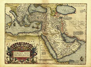
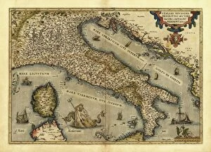
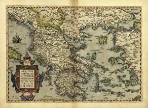
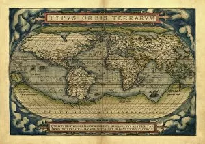
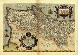
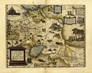
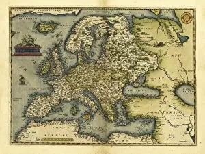
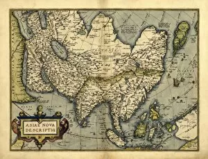
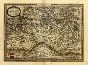
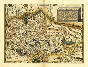
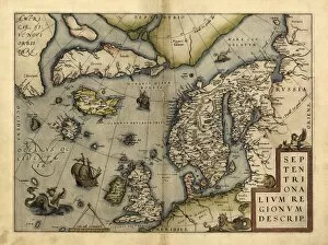
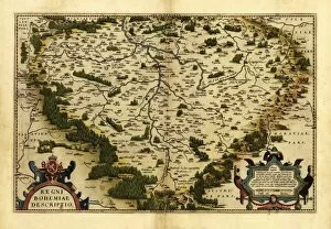
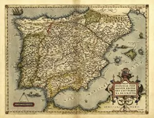
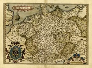
"Exploring the Latin Edition: A Journey through Orteliuss Maps and More" Step back in time with us as we delve into the captivating world of the Latin Edition. In 1570, Abraham Ortelius gifted us a series of remarkable maps that not only showcased geographical knowledge but also provided a glimpse into the cultural and political landscape of Europe. Let's begin our expedition with Orteliuss map of the Ottoman Empire, an intricate masterpiece that unveils the vastness and complexity of this powerful realm. As we move on to his depiction of Italy, Poland, Greece, Holland, Portugal, Denmark, European Russia, and finally Europe as a whole - each map reveals unique details about these regions during that era. But it doesn't stop there. Amongst these cartographic treasures lies something unexpected – a medical prescription turned satirical artwork. This intriguing piece challenges societal norms while reminding us that humor can be found even in unlikely places. As we navigate through Orteliuss world map from 1570, we witness how he skillfully wove together various sources to create a comprehensive representation of our planet. The attention to detail is astounding; every mountain range and river meticulously etched onto parchment. And then there's "Latin Edition Stultifera Navis Das Narrenschiff, " an enigmatic title for an equally enigmatic work. This literary gem takes us on a metaphorical voyage aboard the Ship of Fools – exploring human folly across cultures and centuries. Join us on this fascinating journey as we unlock hidden stories within these ancient maps and artworks. Discover how they shaped our understanding of history while offering glimpses into bygone eras. The Latin Edition invites you to immerse yourself in its rich tapestry where geography intertwines with artistry and satire dances alongside exploration.