
Middle East Collection (page 2)
The Middle East, a region steeped in history and rich in cultural heritage, is a captivating tapestry of civilizations


All Professionally Made to Order for Quick Shipping
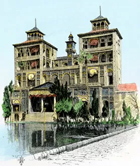
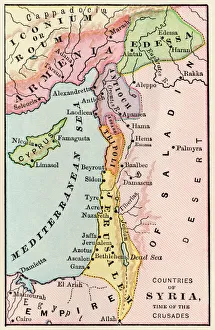
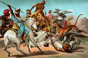
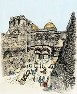
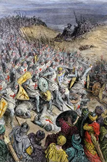
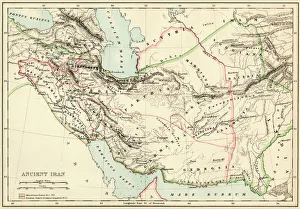
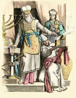
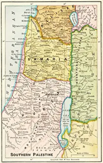
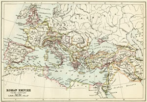
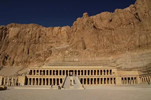
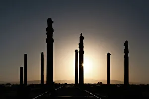
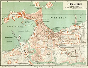
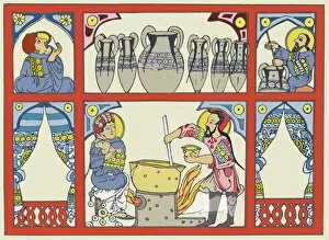
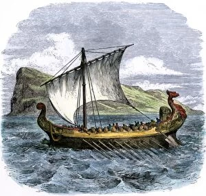
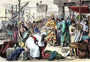
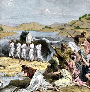
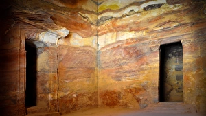
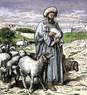
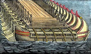
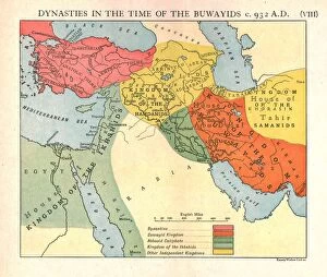
The Middle East, a region steeped in history and rich in cultural heritage, is a captivating tapestry of civilizations. From the Hanging Gardens of Babylon to the Map of the Byzantine Empire in the 9th Century, this land has witnessed countless wonders. In biblical tales, we find Jesus calming the storm on the Sea of Galilee, showcasing his divine power over nature's elements. As Medieval Europe embarked on its Crusades, maps depicted its intricate connections with this enigmatic realm. Ancient Palestine kingdoms of Judah and Israel come alive through an ancient map that unveils their boundaries and historical significance. The Anglo-Saxon 10th-century world map reveals how knowledge about this region spread across continents during those times. Orteliuss' map from 1570 showcases the vast Ottoman Empire at its zenith—a testament to its dominance over lands stretching far beyond our imagination. Meanwhile, a glimpse into history unfolds as we explore maps depicting both Roman Empire's expanse and Cyprus' strategic location. The Last Supper immortalizes Jesus and his apostles sharing their final meal together—an event forever etched into religious consciousness. And who can forget the mighty Assyrian king commanding his chariot with unparalleled might? Finally, we delve into Alexander the Great's conquests through a detailed map displaying Macedonia's empire—truly awe-inspiring feats achieved by one man. These hints offer just a glimpse into what makes the Middle East so fascinating—the convergence of empires, religions, cultures that have shaped it throughout millennia, and is a treasure trove awaiting exploration for those captivated by history's allure.