
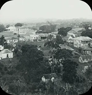
Nation Collection
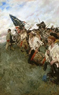
"The Nation Makers: A Glimpse into the Revolutionary Battle of Brandywine in 1777" This captivating oil on canvas painting by Howard Pyle, created in 1906


All Professionally Made to Order for Quick Shipping
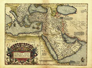
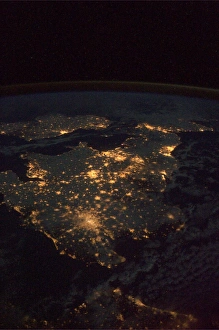
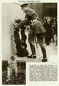
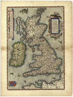
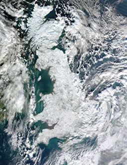
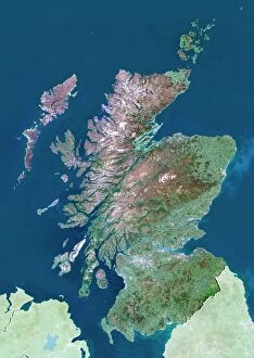
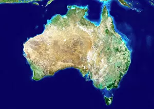
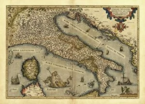
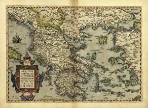
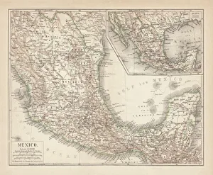
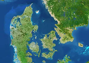
"The Nation Makers: A Glimpse into the Revolutionary Battle of Brandywine in 1777" This captivating oil on canvas painting by Howard Pyle, created in 1906, transports us back to a pivotal moment during the Revolutionary War. Depicting the Battle of Brandywine, it serves as a powerful reminder of the sacrifices made by our nation's founding fathers and their unwavering determination to shape a new destiny. "United Kingdom at Night: Witnessing Majesty from Space" Behold this breathtaking view captured from space - an awe-inspiring sight that showcases the vibrant lights illuminating the United Kingdom at night. From bustling cities to serene countryside landscapes, this image encapsulates both the diversity and unity within our nation. "Orteliuss Map: Exploring the Ottoman Empire's Vast Territories" Step back in time with this remarkable map dating back to 1570, crafted by Abraham Ortelius. It offers a glimpse into the vast expanse of territories under Ottoman rule during its peak. This historical artifact reminds us of how nations evolve and reshape over centuries. "Inaugural Remembrance Day: Honoring Heroes Who Shaped Our Nation" On November 11th, 1919, we marked our first Remembrance Day - a solemn occasion dedicated to honoring those who sacrificed their lives for our freedom. This poignant image captures not only grief but also resilience as we pay tribute to heroes who have shaped our nation's history. "Scotland from Above: Captivating Beauty Revealed through Satellite Lens" Feast your eyes upon Scotland's stunning landscape as seen from space. This satellite image unveils nature's masterpiece - rolling hills, majestic lochs, and rugged coastlines come together harmoniously, and is a testament to Scotland's enduring spirit and its place within our great nation. "A Glimpse into History.