
Navigate Collection
"Navigate: Unveiling the Journey of Exploration and Discovery" Embark on a captivating journey through time as we navigate the realms of dreams, maps, and stars


All Professionally Made to Order for Quick Shipping
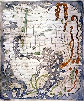
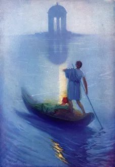
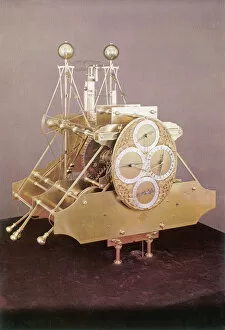
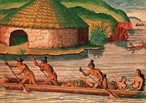
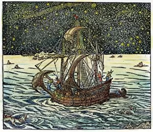
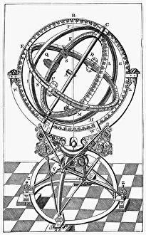
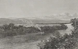
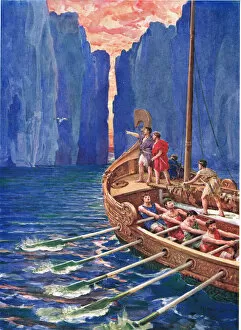
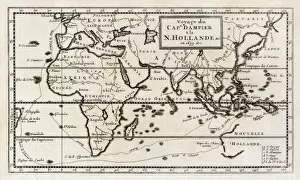
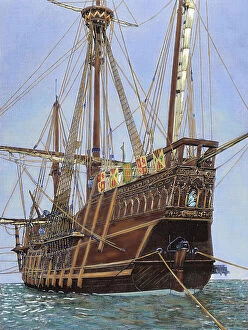
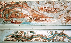
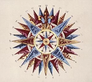
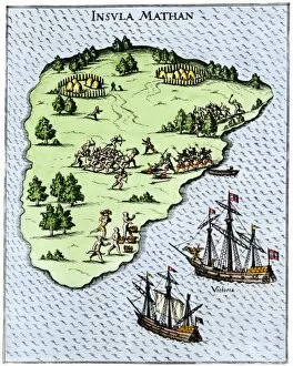
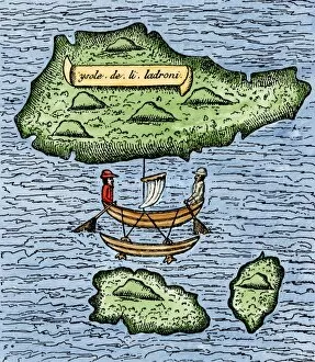
"Navigate: Unveiling the Journey of Exploration and Discovery" Embark on a captivating journey through time as we navigate the realms of dreams, maps, and stars. Just like Arild Rosenkrantz's "The Temple of Dreams, " let your imagination soar as you explore uncharted territories. Travel back to the 11th century with the Cottonian or Anglo-Saxon World Map, an ancient treasure that reveals how our ancestors navigated the vast unknown. Witness their determination and ingenuity in charting new courses across oceans. Roald Amundsen, a legendary explorer from the early 20th century, reminds us of humanity's relentless pursuit to conquer unexplored frontiers. His expeditions pushed boundaries and inspired generations to embrace adventure. Innovation played a crucial role in navigation throughout history. Harrison's First Chronometer revolutionized maritime travel by providing accurate timekeeping at sea. This breakthrough invention enabled sailors to determine longitude accurately for safer voyages. Navigating by stars has been an age-old practice relied upon by brave sailors under moonlit skies. Picture yourself amidst this ethereal scene from 1575 when mariners skillfully used celestial bodies as guides during their nocturnal journeys. The astrolabe, crafted by Regiomontanus in the 15th century, showcases mankind's fascination with both mathematics and astronomy. This intricate instrument allowed explorers to measure angles and determine positions accurately - an essential tool for navigating uncharted waters. Dutch men-of-war battling treacherous storms off rocky coasts in 1672 epitomize courage amidst adversity. These seafarers faced nature's wrath head-on while relying on their navigational skills honed over years of experience. Step into Timucua Indian village in Florida during the 16th century; witness how indigenous communities thrived through knowledge passed down through generations about food gathering techniques and navigation along waterways.