Fraud Blocker Skip to main content

Navigational Equipment Collection

"Unveiling the Past: Navigational Equipment Guides Us Through History" Exploring ancient civilizations

Background imageNavigational Equipment Collection: Antique map of the Roman Empire

Antique map of the Roman Empire, with a detail on Rome

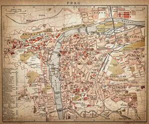
Background imageNavigational Equipment Collection: Prague

Prague
Antique map of Prague from 1898

Background imageNavigational Equipment Collection: Antique map of Britain under the Anglo Saxons

Antique map of Britain under the Anglo Saxons

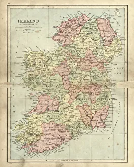
Background imageNavigational Equipment Collection: Antique map of Ireland

Antique map of Ireland, 1864

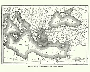
Background imageNavigational Equipment Collection: Map of the Byzantine Empire in the 9th Century

Map of the Byzantine Empire in the 9th Century
Vintage engraving of a Map of the Byzantine Empire in the 9th Century

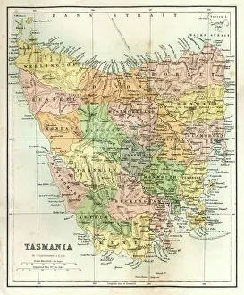
Background imageNavigational Equipment Collection: Antique Map of Tasmania

Antique Map of Tasmania
Antique map of Tasmania from 1867

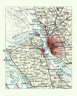
Background imageNavigational Equipment Collection: Antique map, Liverpool and Birkenhead, England, 19th Century

Antique map, Liverpool and Birkenhead, England, 19th Century
Vintage engraving of a Antique map, Liverpool and Birkenhead, England, 19th Century

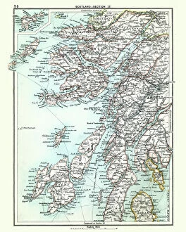
Background imageNavigational Equipment Collection: Antique map, Scotland, Jura, Mull, Argyll, Islay 19th Century

Antique map, Scotland, Jura, Mull, Argyll, Islay 19th Century
Vintage engraving of a Antique map, Scotland, Jura, Mull, Argyll, Islay 19th Century

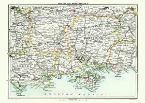
Background imageNavigational Equipment Collection: Map of South East England, Hampshire, Dorset, Wiltshire 1891

Map of South East England, Hampshire, Dorset, Wiltshire 1891
Antique Map of Map of South East England, showing Hampshire, Dorset, Wiltshire, and the Isle of Wight 1891

Background imageNavigational Equipment Collection: Highly detailed USA Road Map

Highly detailed USA Road Map
Highly detailed map of United States with roads, states, big cities, rivers and some other objects

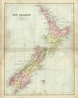
Background imageNavigational Equipment Collection: Antique map of New Zealand in the 19th Century, 1873

Antique map of New Zealand in the 19th Century, 1873
Vintage engraving of a Antique map of New Zealand in the 19th Century, 1873

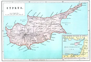
Background imageNavigational Equipment Collection: Map of Cyprus

Map of Cyprus
Vintage 19th Century map of Cyprus in the eastern Mediterranean Sea

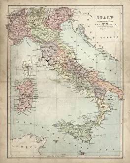
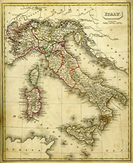
Background imageNavigational Equipment Collection: Antique Damaged Map of Italy 19th Century

Antique Damaged Map of Italy 19th Century
Antique damaged map of Italy 19th Century

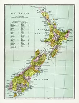
Background imageNavigational Equipment Collection: Antique Map of New Zealand

Antique Map of New Zealand
Vintage map of New Zealand, from 1894

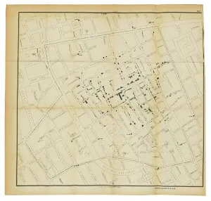
Background imageNavigational Equipment Collection: A map from On the Mode of Communication of Cholera, 1855 (litho)

A map from On the Mode of Communication of Cholera, 1855 (litho)
1195411 A map from On the Mode of Communication of Cholera, 1855 (litho) by Snow, John (1813-58) (after); 22, 5x14, 2 cm; Private Collection; (add.info.: Snow)

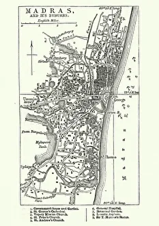
Background imageNavigational Equipment Collection: Map of Madras (Chennai), India, 19th Century

Map of Madras (Chennai), India, 19th Century
Vintage engraving of Map of Madras (Chennai), India, 19th Century

Background imageNavigational Equipment Collection: Antquie Map of Italy

Antquie Map of Italy
Vintage map of Italy fron 1837

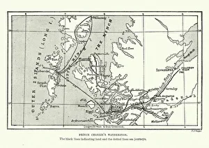
Background imageNavigational Equipment Collection: Map of Bonnie Prince Charlies Wanderings

Map of Bonnie Prince Charlies Wanderings
Vintage caricature of Map of Bonnie Prince Charlies Wanderings after his defeat at the Battle of Culloden in 1746

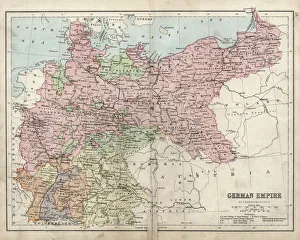
Background imageNavigational Equipment Collection: Antique damaged map of German Empire 19th Century

Antique damaged map of German Empire 19th Century

Background imageNavigational Equipment Collection: Map of the Scilly Isles

Map of the Scilly Isles
Vintage map from 1880 of the Scilly Isles an archipelago off the southwestern tip of the Cornish peninsula of Great Britain

Background imageNavigational Equipment Collection: Map of Saint Lucia, 19th Century

Map of Saint Lucia, 19th Century
Vintage engraving of Map of Saint Lucia, 19th Century

Background imageNavigational Equipment Collection: Antique map of Scotland

Antique map of Scotland, 1864

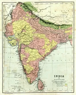
Background imageNavigational Equipment Collection: Antique map of India

Antique map of India, 1864

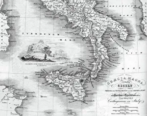
Background imageNavigational Equipment Collection: Vintage map of Magna Graecia

Vintage map of Magna Graecia, showing the settlements of the ancient greeks in Italy. Magna GrA|cia is the name of the coastal areas of Southern Italy on the Tarentine Gulf that was extensively

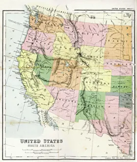
Background imageNavigational Equipment Collection: Antique Map of Western USA

Antique Map of Western USA
Antique Map from 1867 of Western United States of America

Background imageNavigational Equipment Collection: Antique damaged map of Ireland in the 19th Century

Antique damaged map of Ireland in the 19th Century
Vintage engraving of a Antique damaged map of Ireland in the 19th Century, 1873

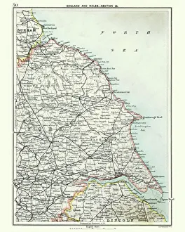
Background imageNavigational Equipment Collection: Antique map, North and East Yorkshire 19th Century

Antique map, North and East Yorkshire 19th Century
Vintage engraving of a Antique map, North and East Yorkshire 19th Century

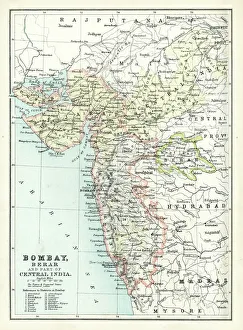
Background imageNavigational Equipment Collection: Antique map of Bombay, India, 19th Century

Antique map of Bombay, India, 19th Century
Antique map of Bombay, Berar, and part of central India from 1891

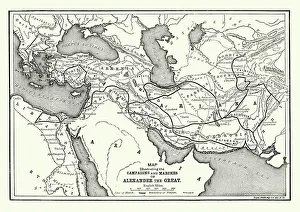
Background imageNavigational Equipment Collection: Ancient History - Map of Alexander the Great Campaigns

Ancient History - Map of Alexander the Great Campaigns
Vintage engraving of a map of the campaigns and marches of Alexander the Great

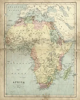
Background imageNavigational Equipment Collection: Antique map of Africa in the 19th Century, 1873

Antique map of Africa in the 19th Century, 1873
Vintage engraving of a Victorian Antique map of Africa in the 19th Century, 1873

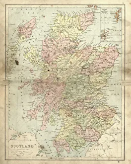
Background imageNavigational Equipment Collection: Antique damaged map of Scotland in the 19th Century

Antique damaged map of Scotland in the 19th Century
Vintage engraving of a Antique damaged map of Scotland in the 19th Century, 1873

Background imageNavigational Equipment Collection: Antique map, Isle of Man 19th Century

Antique map, Isle of Man 19th Century
Vintage engraving of a Isle of Man 19th Century with detail of Douglas

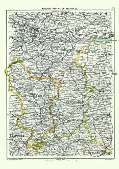
Background imageNavigational Equipment Collection: Antique map, West Yorkshire, Derby, Nottingham, Lincoln, 19th Century

Antique map, West Yorkshire, Derby, Nottingham, Lincoln, 19th Century
Vintage engraving of a Antique map, West Yorkshire, Derby, Nottingham, Lincoln, Stafford, Leicester, Rutland, England. 19th Century

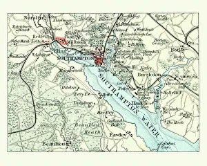
Background imageNavigational Equipment Collection: Antique map, Southampton, England, 19th Century

Antique map, Southampton, England, 19th Century
Vintage engraving of a Antique map Southampton, , England, 19th Century

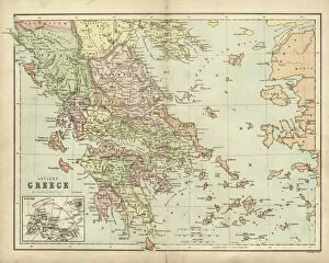
Background imageNavigational Equipment Collection: Antique map of Ancient Greece

Antique map of Ancient Greece

Background imageNavigational Equipment Collection: Map of Hull

Map of Hull
Vintage map from 1880 of Hull in the East Riding of Yorkshire, England. The city of Hull has served as market town, military supply port, trading hub, fishing and whaling centre

Background imageNavigational Equipment Collection: Antique map of Ancient Greece

Antique map of Ancient Greece, 1864

Background imageNavigational Equipment Collection: Map of Ancient Gaul (France)

Map of Ancient Gaul (France)
Vintage engraving of a Map of Ancient Gaul (France)

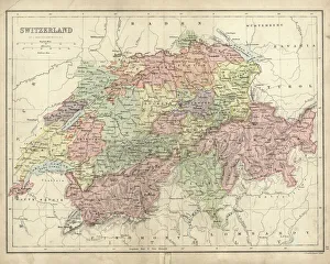
Background imageNavigational Equipment Collection: Antique map of Switzerland in the 19th Century

Antique map of Switzerland in the 19th Century, 1873

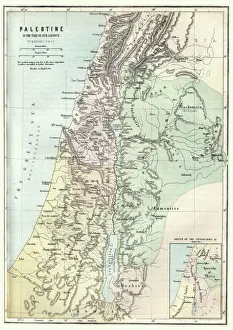
Background imageNavigational Equipment Collection: Map of Palestine in the time of Jesus Christ

Map of Palestine in the time of Jesus Christ
Vintage engraving of Map of Palestine in the time of Jesus Christ

Background imageNavigational Equipment Collection: Portsmouth and Southampton

Portsmouth and Southampton
Antique map of a Portsmouth and Southampton

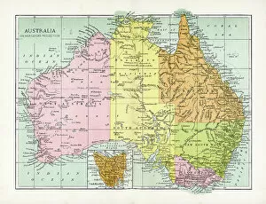
Background imageNavigational Equipment Collection: Antique Map of Australia

Antique Map of Australia
Vintage map of Australia, from 1894

Background imageNavigational Equipment Collection: Map of ancient Abruzzo, by Giovan Battista Pacichelli, engraving, 1702

Map of ancient Abruzzo, by Giovan Battista Pacichelli, engraving, 1702
Cartography, Italy, 18th century. Ancient Abruzzo. From The Kingdom of Naples in perspective by Giovan Battista Pacichelli, 1702. Engraving

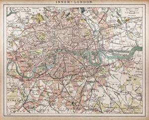
Background imageNavigational Equipment Collection: Historic map of London (18th Century)

Historic map of London (18th Century)
map/plan of the inner city of London from 1898

Background imageNavigational Equipment Collection: Antique Map - Biblical Palestine

Antique Map - Biblical Palestine
Antique Map from 1864 of Biblical Palestine

Background imageNavigational Equipment Collection: Leo Belgicus, showing the Low Countries in the shape of a lion

Leo Belgicus, showing the Low Countries in the shape of a lion
985836 Leo Belgicus, showing the Low Countries in the shape of a lion, 1586 (hand-coloured engraving) by Austrian School, (16th century); 36.8x44.4 cm; Private Collection; (add.info.: Leo Belgicus)

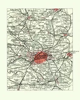
Background imageNavigational Equipment Collection: Antique map, Manchester, England, 19th Century

Antique map, Manchester, England, 19th Century
Vintage engraving of a Antique map, Manchester, England, 19th Century

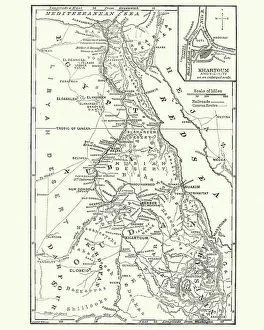
Background imageNavigational Equipment Collection: Map of Sudan, late 19th Century

Map of Sudan, late 19th Century
Vintage engraving of a Map of Sudan, late 19th Century


All Professionally Made to Order for Quick Shipping

"Unveiling the Past: Navigational Equipment Guides Us Through History" Exploring ancient civilizations: An antique map of the Roman Empire reveals their vast territories and navigational prowess. Tracing Anglo-Saxon roots: Delve into history with an antique map showcasing Britain under the Anglo Saxons, a captivating glimpse into early English heritage. Byzantine marvels in ink: Step back in time as a 9th-century map of the Byzantine Empire unfolds its intricate details, guiding us through this remarkable era. Unraveling Liverpool's maritime legacy: A fascinating 19th-century antique map takes us on a journey through Liverpool and Birkenhead, England, offering insights into their rich nautical history. Ireland's enchanting landscapes mapped: Discover Ireland's allure through an exquisite antique map that showcases its diverse geography and invites exploration. Scottish Isles beckon adventurers: Embark on a virtual voyage to Jura, Mull, Argyll, Islay with a stunning 19th-century antique map that captures Scotland's rugged beauty. Charting New Zealand's discovery: Travel back to 1873 with an extraordinary antique map of New Zealand; witness how explorers navigated these uncharted lands centuries ago. The allure of vintage cartography continues: Immerse yourself in nostalgia with an enchanting vintage map of Magna Graecia - relish its timeless charm and historical significance. Island paradise revealed - Cyprus unveiled. Explore this Mediterranean gem as you trace your fingers across an alluringly detailed vintage map capturing Cyprus' unique essence. Saint Lucia whispers tales from yesteryears: Transport yourself to the Caribbean island paradise as you explore a mesmerizing 19th-century antique map depicting Saint Lucia’s vibrant past. The road less traveled across America awaits.