
Nile Delta Collection
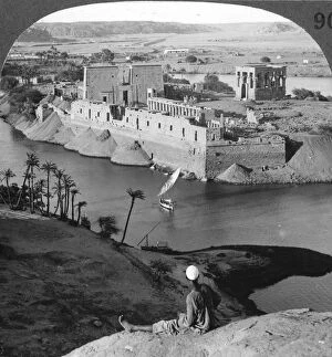
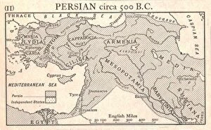
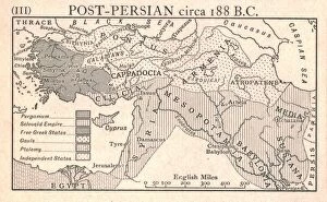
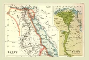
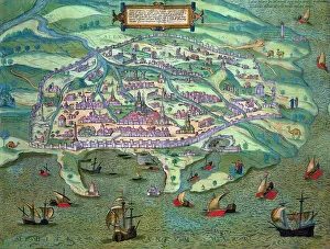
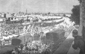
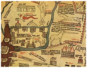
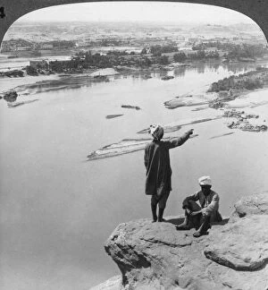
The Nile Delta: A Tapestry of History and Natural Beauty From the vantage point of a vintage photograph taken in 1905, we peer down upon the enchanting island of Philae


All Professionally Made to Order for Quick Shipping
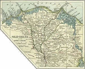
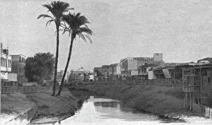
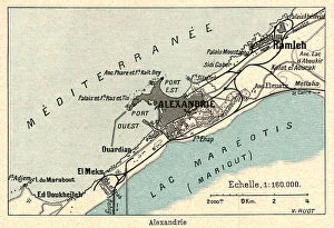
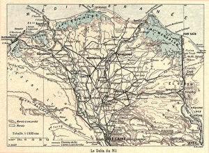
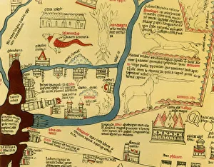
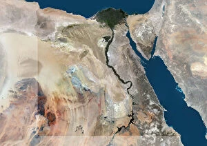
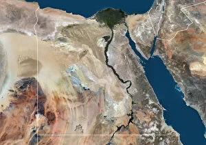
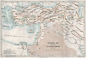
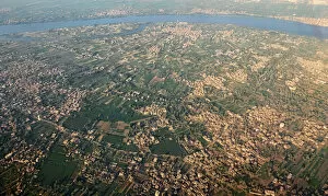
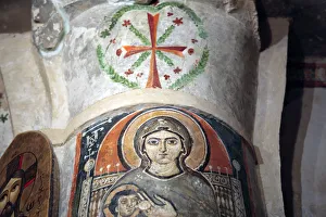
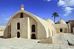
The Nile Delta: A Tapestry of History and Natural Beauty From the vantage point of a vintage photograph taken in 1905, we peer down upon the enchanting island of Philae, nestled within the majestic Nile Delta. The temples that grace its shores stand as testaments to Egypt's rich cultural heritage. But this captivating landscape is not without its challenges. A satellite image reveals the relentless force of a sandstorm sweeping across the delta, reminding us of nature's power and unpredictability. Delving deeper into history, we encounter a Hereford World Map from 1280. Created by Richard de Bello in 1944, it showcases how even centuries ago, explorers recognized the significance and allure of this region. An antique map from the 19th century provides insight into Egypt's intricate topography. It highlights not only the course of the mighty Nile River but also unveils vast expanses of agricultural land that have sustained civilizations for millennia. Peering through a window frame, one can witness daily life along the riverbanks - houses dotting its banks while farmers toil on fertile fields. This snapshot captures both human resilience and our interdependence with nature. Turning our attention to military campaigns, an unknown creator illustrates battles fought in Egypt between February 1915 and May 1916. These conflicts shaped history while leaving indelible marks on this storied land. A physical map dating back to approximately 1915 showcases another facet -the Ottoman Empire stretching across diverse landscapes including parts of present-day Egypt. It reminds us that political boundaries are ever-changing against timeless natural wonders like the Nile Delta. As we gaze once more through a windowpane at panoramic views encompassing houses, farmlands, and meandering waterways; we realize that these scenes persist throughout time – connecting past generations with those yet to come. Venturing beyond mainland Egypt lies Wadi El Natrun - home to ancient Syrian and Roman monasteries.