
Occupied Territory Collection
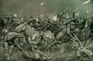
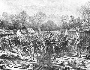
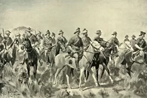
"Occupied Territory: A Glimpse into History's Battlefields and Conquests" "The Night Charge of the 19th Hussars Near Lydenberg on Nov


All Professionally Made to Order for Quick Shipping
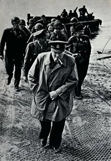
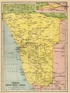
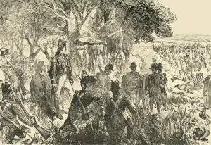
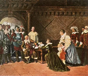
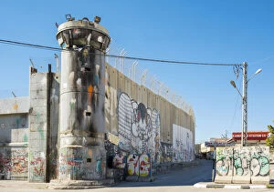
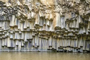
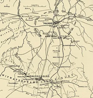
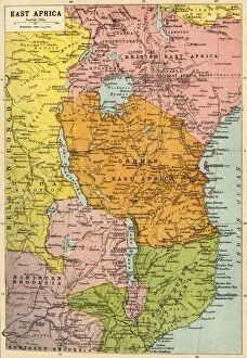
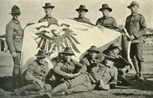
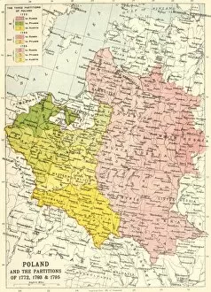
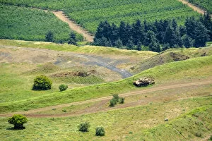
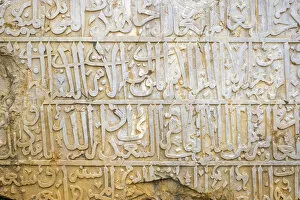
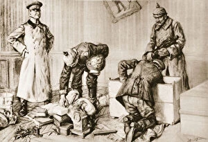
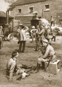
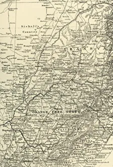
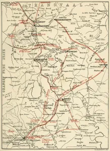
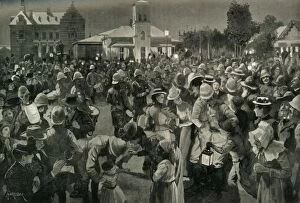
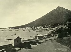
"Occupied Territory: A Glimpse into History's Battlefields and Conquests" "The Night Charge of the 19th Hussars Near Lydenberg on Nov. 7th, 1900: Witnessing Courage Amidst Conflict" "Churchill, Brooke, and Montgomery on the German-held East Bank of the Rhine: Paving the Way to Victory in World War II" "Unveiling German South West Africa through a Historical Map: Tracing Footprints of a Bygone Era" "The Battle of Plassey (1757): Unraveling an Epic Clash that Shaped Empires" "Tilly in Rothenburg (1631): Reliving the Turmoil of a Ravaged Land" "Hexagonal Basalt Columns at Hexagon Pool: Nature's Resilience amidst Occupied Lands in Golan Heights" "Johannesburg-Pretoria District Map: Mapping British Presence and Influence in South Africa's Past" "Muster of Cape Town Guard on Parade Ground (1901): Commemorating Bravery Amidst Occupation Challenges" "'Make not my Father's House an House of Merchandise': Reflecting on Mid-19th Century Struggles for Spiritual Sanctity amid Occupation Pressures. " "Expulsion of Moneylenders (1922): Reclaiming Sovereignty amidst Economic Intrusion. " "East Africa during World War I: Exploring Battlegrounds and Power Shifts through Bartholomew & Son’s Map. " "Captured German Flag by New Zealand Soldiers (1914): Symbolizing Triumph over Occupying Forces. " Note.