
Old Blaue Map Collection
Step back in time with these stunning old maps from the 17th century


All Professionally Made to Order for Quick Shipping
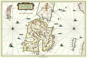
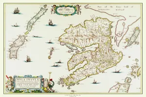
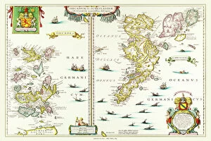
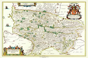
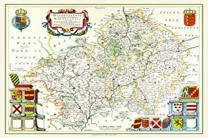
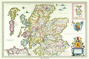
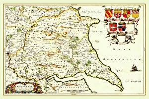
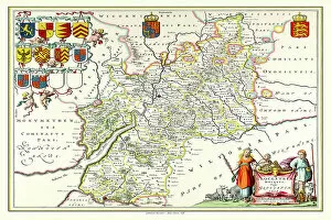
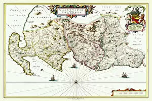
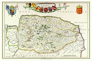
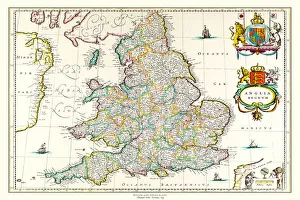
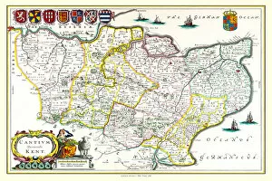
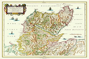
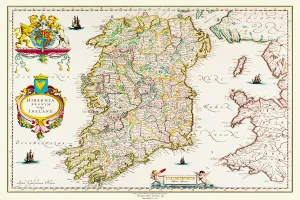
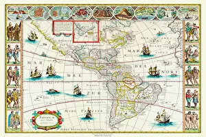
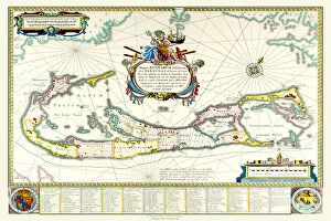
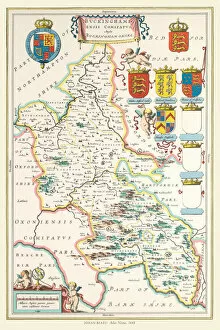
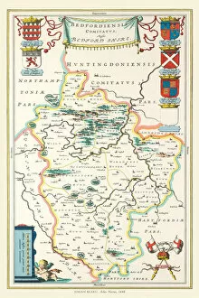
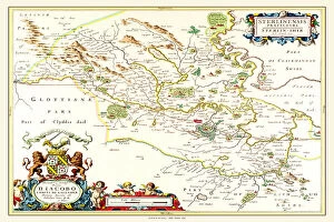
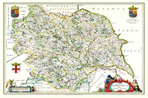
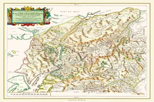
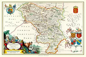
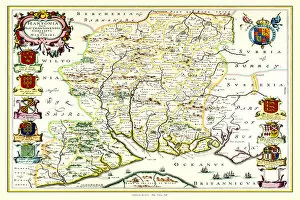
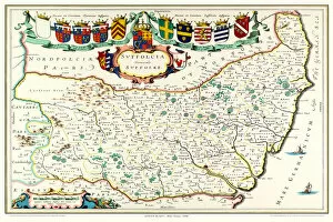
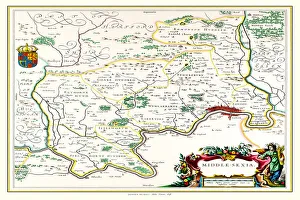
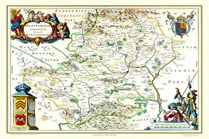
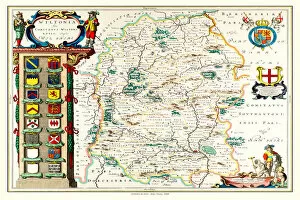
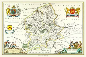
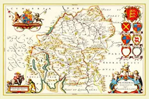
Step back in time with these stunning old maps from the 17th century. Johan Blaeu's Atlas Novus takes us on a journey through Scotland, Wales, and England, revealing the intricate details of each region. The Isle of Islay in Scotland comes alive with its rugged coastline and charming villages, while the Isles of Shetland and Orkney showcase their unique beauty. Explore the Isle of Mull's enchanting landscapes and get lost in its rich history. Travel further south to Kyle and Mid Ayrshire, where you can trace your roots or simply marvel at the intricacies of this county map. Galloway beckons with its rolling hills and picturesque towns that seem frozen in time. Venture into Scotland as a whole with Willem & Johan Blaeu's 1635 map, which captures the essence of this majestic land. Cross over to Wales and discover its hidden gems through Johan Blaeu's eyes. From bustling cities to serene countryside, every corner has a story to tell. Head eastward to Yorkshire's East Riding for a glimpse into rural life during this era. Gloucestershire unfolds before you like an open book - explore its quaint villages nestled amidst lush greenery or follow ancient paths leading to historic landmarks. Journey down south to Surrey for a taste of English charm combined with natural beauty. Finally, immerse yourself in Renfrewshire's Scottish heritage or traverse Cumbria's diverse landscapes dotted with lakes and mountains. These old maps offer more than just geographical information; they transport us back centuries ago when cartography was both artistry and science. Let them ignite your imagination as you embark on a virtual voyage through time.