
Old Town Plan Collection
Step back in time with these captivating old town plans


All Professionally Made to Order for Quick Shipping
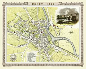
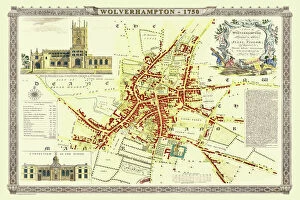
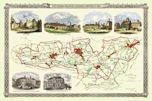
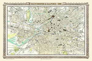
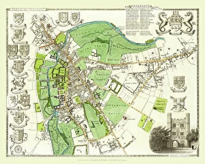
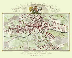
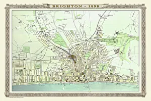
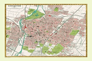
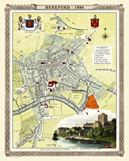
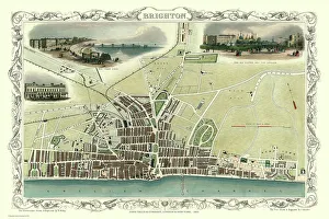
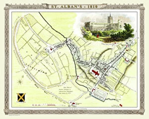
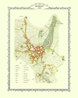
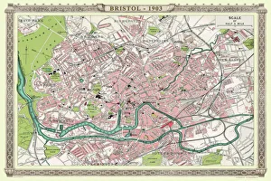
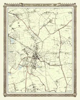
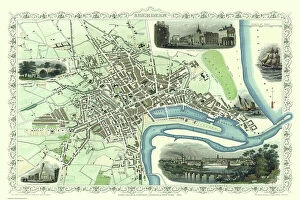
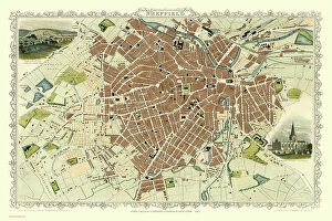
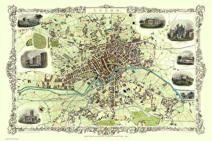
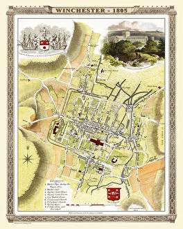
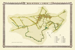
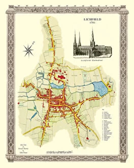
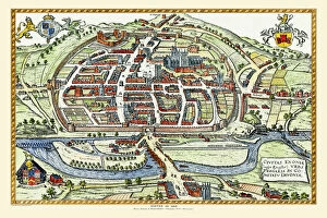
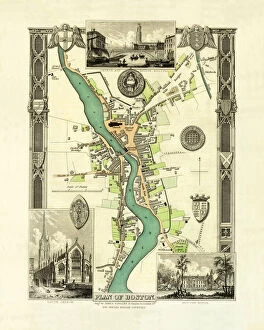
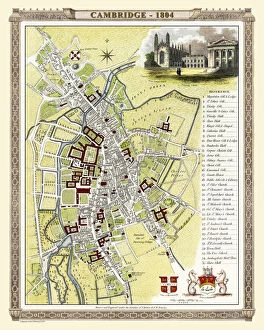
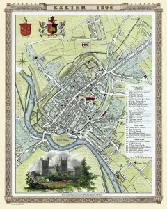
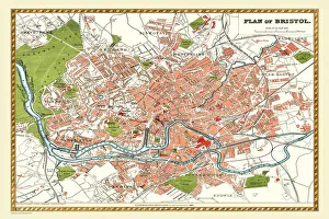
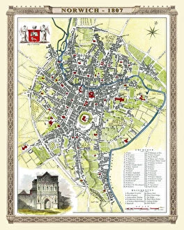
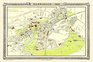
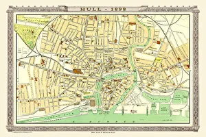
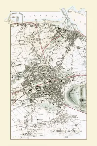
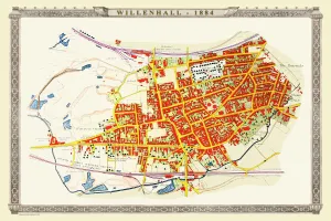
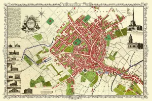
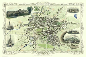
Step back in time with these captivating old town plans. From the Old Map of Wolverhampton in 1750 by Isaac Taylor to the intricate details of the Old Map of Stoke on Trent and the Potteries in 1831, each map tells a unique story of its city's past. Explore the charming streets and landmarks as they were over a century ago, like Brighton in 1851 by John Tallis or Bath in the same year. Immerse yourself in history with an Old Map of Bristol from 1903 or Birmingham's streetscape from 1851, both beautifully crafted by John Tallis. Discover Plymouth, Devonport, and Stonehouse through their Royal Atlas map from 1898 or Aberdeen's rich heritage depicted on John Tallis' map from 1851. Marvel at Sheffield's transformation over time with another gem by John Tallis dating back to 1851 or explore Bristol's evolving urban landscape captured meticulously by Fullarton & Co in their map from 1866. Lastly, take a glimpse into Sutton Coldfield's district history through an old map dating back to1887 before venturing north to Belfast with yet another masterpiece created by John Tallis himself in 1851. These they are not just maps; they are gateways into our ancestors' lives and offer us a chance to appreciate how far we have come while cherishing our roots.