Fraud Blocker Skip to main content

Physical Geography Collection

"Exploring the Diverse Landscapes

Background imagePhysical Geography Collection: Tuskegee airmen flying near the Alps in their P-51 Mustangs

Tuskegee airmen flying near the Alps in their P-51 Mustangs
Tuskegee airmen of the 332nd fighter group flying near the Alps in their P-51 Mustangs

Background imagePhysical Geography Collection: Yule River, Western Australia

Yule River, Western Australia
The Yule River in the Pilbara region of Western Australia

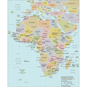
Background imagePhysical Geography Collection: Political Map of Africa

Political Map of Africa
Vector Illustration of the policital map of Africa Reference map as created by the US Central Intelligence Agency

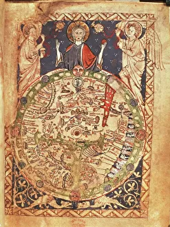
Background imagePhysical Geography Collection: Mappa Mundi, ink and colors on parchment, created in London about 1265

Mappa Mundi, ink and colors on parchment, created in London about 1265
Cartography, 13th century. Mappa Mundi, Medieval map, London about 1265. Ink and colors on parchment. The maps diameter is 9 cm
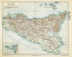
Background imagePhysical Geography Collection: Sicily map 1895

Sicily map 1895
Meyers Konversations-Lexikon. Ein Nachschlagewerk des allgemeinen Wissens, 5th edition 17 volumes Bibliographisches Institut - Leipzig 1895-1897
Background imagePhysical Geography Collection: Map of Ireland 1897

Map of Ireland 1897
Map of Ireland

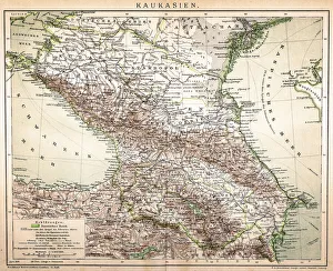
Background imagePhysical Geography Collection: Old Caucasus map

Old Caucasus map
Antique map of Caucasus

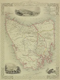
Background imagePhysical Geography Collection: Antique map of Tasmania

Antique map of Tasmania

Background imagePhysical Geography Collection: China map

China map
illustration of a South Eastern Asia map

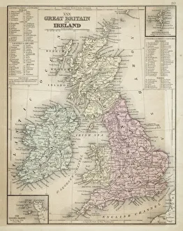
Background imagePhysical Geography Collection: Great Britain and Ireland map 1867

Great Britain and Ireland map 1867
Mitchell's Modern Atlas - Published by E.H. Butler and Co - Philadelphia 1867

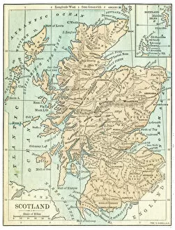
Background imagePhysical Geography Collection: Scotland map 1875

Scotland map 1875
The Independent Course Comprehensive Geography by James Monteith, A.S. Barnes & Co, New York & Chicago 1875

Background imagePhysical Geography Collection: Map of the Word with lines marking boundaries of tectonic plates

Map of the Word with lines marking boundaries of tectonic plates

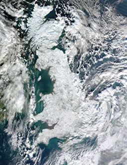
Background imagePhysical Geography Collection: Snow-covered United Kingdom, January 2010

Snow-covered United Kingdom, January 2010. Satellite image of snow and ice (white) covering the UK during the cold spell in January 2010

Background imagePhysical Geography Collection: Earth, topographic and bathymetric map

Earth, topographic and bathymetric map. This whole Earth map is centred on the Greenwich meridian, at zero degrees latitude

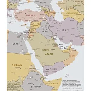
Background imagePhysical Geography Collection: Political map of The Middle East

Political map of The Middle East
Vector illustration of the policital map of The Middle East Reference map was created by the US Central Intelligence Agency

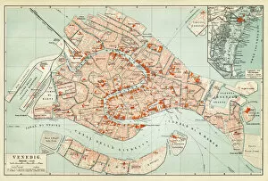
Background imagePhysical Geography Collection: Map of Venice 1897

Map of Venice 1897
Map of the city of Venice, Italy

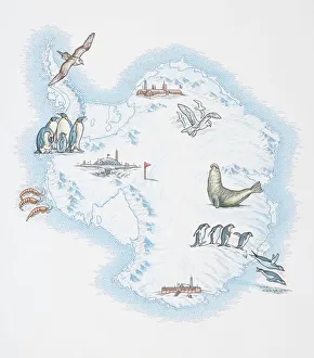
Background imagePhysical Geography Collection: Map of Antarctica overlaid with illustrations of Sea Gulls, Penguins, Elephant Seal

Map of Antarctica overlaid with illustrations of Sea Gulls, Penguins, Elephant Seal, Shrimp and buildings

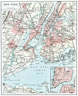
Background imagePhysical Geography Collection: Map of New York city 1896

Map of New York city 1896
Ilustration of a Map of New York city 1896

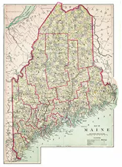
Background imagePhysical Geography Collection: Map of Maine USA 1883

Map of Maine USA 1883
Warrens Common School Geography

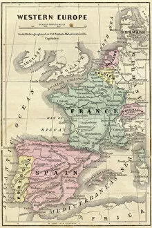
Background imagePhysical Geography Collection: France Spain Portugal map 1856

France Spain Portugal map 1856
Colton and Fitchs Modern School Geography by George W. Fitch - New York 1856

Background imagePhysical Geography Collection: Antique map of Hadrians wall

Antique map of Hadrians wall

Background imagePhysical Geography Collection: Iowa 1852 Map

Iowa 1852 Map

Background imagePhysical Geography Collection: Rock arch and headland in distance, Devils Punchbowl State Natural Area, Oregon, USA

Rock arch and headland in distance, Devils Punchbowl State Natural Area, Oregon, USA
Devils Punch Bowl State Natural Area is a state day use park on the central Oregon Coast in the United States. It is centered on a large bowl naturally carved in a rock headland which is partially

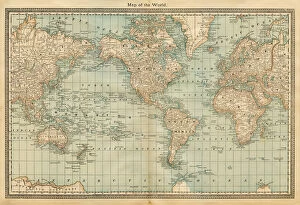
Background imagePhysical Geography Collection: map of the world 1882

map of the world 1882
map of the world - 1882

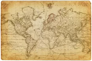
Background imagePhysical Geography Collection: Map of the world 1800

Map of the world 1800

Background imagePhysical Geography Collection: Peru map 1897

Peru map 1897
The World-Wide Atlas of Modern Geography, Political and Physical W. & A.K. Johnston - London 1897

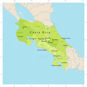
Background imagePhysical Geography Collection: Costa Rica Vector Map

Costa Rica Vector Map
+++

Background imagePhysical Geography Collection: Map of Texas 1867

Map of Texas 1867
Mitchells Modern Atlas - Published by E.H. Buttler & Co - Philadelphia 1867

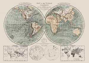
Background imagePhysical Geography Collection: Map of the world 1869

Map of the world 1869
Cornells Grammars-School Geography - S.S. Cornell - New York D. Appleton and Company 1869

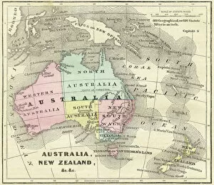
Background imagePhysical Geography Collection: Map of Australia and New Zealand 1856

Map of Australia and New Zealand 1856
Colton and Fitchs Modern School Geography by George W. Fitch - New York 1856

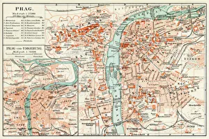
Background imagePhysical Geography Collection: Prague map 1896

Prague map 1896
Meyers Konversations-Lexikon

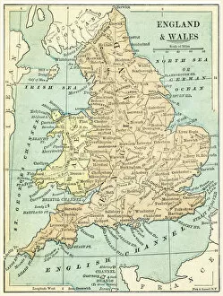
Background imagePhysical Geography Collection: England and Wales map 1875

England and Wales map 1875
The Independent Course Comprehensive Geography by James Monteith, A.S. Barnes & Co, New York & Chicago 1875

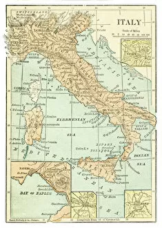
Background imagePhysical Geography Collection: Italy map 1875

Italy map 1875
The Independent Course Comprehensive Geography by James Monteith, A.S. Barnes & Co, New York & Chicago 1875

Background imagePhysical Geography Collection: Palestine map 1875

Palestine map 1875
The Independent Course Comprehensive Geography by James Monteith, A.S. Barnes & Co, New York & Chicago 1875

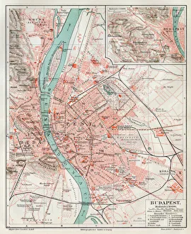
Background imagePhysical Geography Collection: Budapest city map 1895

Budapest city map 1895
Meyers Konversations-Lexikon. Ein Nachschlagewerk des allgemeinen Wissens, 5th edition 17 volumes Bibliographisches Institut - Leipzig 1895-1897

Background imagePhysical Geography Collection: Africa Political Map

Africa Political Map
Antique illustration of a Africa Political Map from 1893

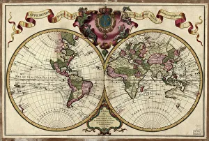
Background imagePhysical Geography Collection: Map of the world, 1720

Map of the world, 1720
(Original Caption) 18th century map of the world. Published in Paris in 1720, this French map shows the known world, including the new lands that had been discovered in the preceding centuries by

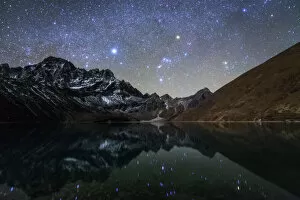
Background imagePhysical Geography Collection: Celestial sky with Sirius, Orion and Aldebaran shining bove Pharilapche Peak in Nepal

Celestial sky with Sirius, Orion and Aldebaran shining bove Pharilapche Peak in Nepal
The winter Milky Way with bright Sirius, Orion and Aldebaran shining above the moonlight mountainscape of Pharilapche at Sagarmatha National Park of Nepal

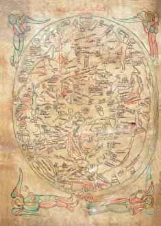
Background imagePhysical Geography Collection: Mappa Mundi by Sawley or Enrico di Magonza, ink and colors on parchment, 12th Century

Mappa Mundi by Sawley or Enrico di Magonza, ink and colors on parchment, 12th Century
Cartography, 12th century. Mappa Mundi, Medieval world map by Sawley or Enrico di Magonza, from the end of the 12th century. Ink and colors on parchment, 29.5 x 20.5 cm

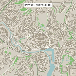
Background imagePhysical Geography Collection: Ipswich Suffolk UK City Street Map

Ipswich Suffolk UK City Street Map
Vector Illustration of a City Street Map of Ipswich, Suffolk, UK. Included files are EPS (v10) and Hi-Res JPG. Data courtesy from Ordnance Survey: VectorMap District https

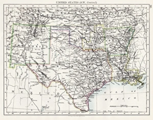
Background imagePhysical Geography Collection: United States South West Central map 1897

United States South West Central map 1897
The World-Wide Atlas of Modern Geography, Political and Physical W. & A.K. Johnston - London 1897

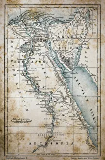
Background imagePhysical Geography Collection: Map of Egypt

Map of Egypt
Illustration of a Map of Egypt

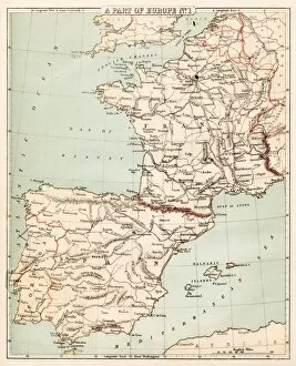
Background imagePhysical Geography Collection: Map of Spain and France 1869

Map of Spain and France 1869
Cornells Grammars-School Geography - S.S. Cornell - New York D. Appleton and Company 1869

Background imagePhysical Geography Collection: Old map of California 1855

Old map of California 1855
System of Geography for the use of schools by Sidney E. Morse - Published by Harper & Brothers - New York 1855

Background imagePhysical Geography Collection: Map of Berlin 1895

Map of Berlin 1895
Map of Berlin (surroundings), Germany

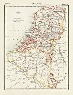
Background imagePhysical Geography Collection: Holland map 1881

Holland map 1881
Encyclopedia Britannica 9th Edition Vol XII Philadelphia j.M. Stoddart & Co 1881

Background imagePhysical Geography Collection: Huntingdon and Cambridge map 1881

Huntingdon and Cambridge map 1881
Encyclopedia Britannica 9th Edition Vol XII Philadelphia j.M. Stoddart & Co 1881

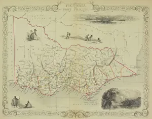
Background imagePhysical Geography Collection: Antique map of Victoria or Port Phillip in Australia with vignettes

Antique map of Victoria or Port Phillip in Australia with vignettes


All Professionally Made to Order for Quick Shipping

"Exploring the Diverse Landscapes: A Journey through Physical Geography" Embark on a captivating journey through physical geography as we delve into the intricate details of our world's diverse landscapes. From the political map of Africa, showcasing its nations and boundaries, to Mappa Mundi - an exquisite ink and color creation from 1265 London that offers a glimpse into medieval cartography. Travel back in time with the antique maps such as Map of Ireland (1897), Great Britain and Ireland (1867), Sicily (1895), Palestine (1875), and even Tasmania. These historical artifacts not only provide geographical information but also offer insights into how our understanding of land has evolved over centuries. Discover the wonders hidden within Antarctica as you explore a unique map overlaid with illustrations of sea gulls, penguins, elephant seals, shrimp, and buildings. Witness China unfold before your eyes through its intricately detailed map or marvel at Earth's tectonic plates marked by lines on a global scale. Experience rare moments captured by nature itself like never before – witness a snow-covered United Kingdom during January 2010 or immerse yourself in Earth's topographic and bathymetric features depicted meticulously on one single map. Physical geography is more than just studying landforms; it is about unraveling stories etched onto every inch of our planet's surface. Join us on this fascinating expedition where maps become windows to exploration, knowledge, and appreciation for the remarkable diversity that exists right beneath our feet.