Fraud Blocker Skip to main content

Physical Geography Collection (page 2)

"Exploring the Diverse Landscapes

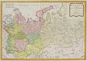
Background imagePhysical Geography Collection: Antique map of Russia

Antique map of Russia

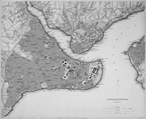
Background imagePhysical Geography Collection: Antique map of Constantinople, present day Istanbul

Antique map of Constantinople, present day Istanbul

Background imagePhysical Geography Collection: Map of Scandinavia

Map of Scandinavia

Background imagePhysical Geography Collection: Map of Venice 1898

Map of Venice 1898
Antique illustration of a Map of Venice 1898

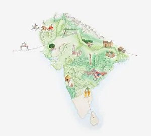
Background imagePhysical Geography Collection: Illustrated map of India showing ancient Mauryan empire

Illustrated map of India showing ancient Mauryan empire

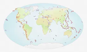
Background imagePhysical Geography Collection: Illustration of world map showing sites of volcanic activity

Illustration of world map showing sites of volcanic activity

Background imagePhysical Geography Collection: Map of Mediterranean Sea by Francois Ollive, Marseille, 1664

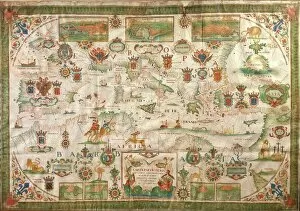
Map of Mediterranean Sea by Francois Ollive, Marseille, 1664
Cartography, 17th century. Map of the Mediterranean Sea by Francois Ollive, Marseille, 1664

Background imagePhysical Geography Collection: Map of Kentucky and Tennessee 1855

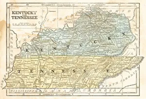
Map of Kentucky and Tennessee 1855
System of Geography for the use of schools by Sidney E. Morse - Published by Harper & Brothers - New York 1855

Background imagePhysical Geography Collection: Map of Texas 1856

Map of Texas 1856
Colton and Fitchs Modern School Geography by George W. Fitch - New York 1856

Background imagePhysical Geography Collection: Ocean currents off the Americas

Ocean currents off the Americas. Satellite-based graphic showing ocean currents (swirling coloured lines) on an Earth globe centred on the Americas

Background imagePhysical Geography Collection: Ireland map 1875

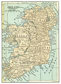
Ireland map 1875
The Independent Course Comprehensive Geography by James Monteith, A.S. Barnes & Co, New York & Chicago 1875

Background imagePhysical Geography Collection: Iceland map 1881

Iceland map 1881
Encyclopedia Britannica 9th Edition Vol XII Philadelphia j.M. Stoddart & Co 1881

Background imagePhysical Geography Collection: USA indian territories map 1881

USA indian territories map 1881
Encyclopedia Britannica 9th Edition Vol XII Philadelphia j.M. Stoddart & Co 1881

Background imagePhysical Geography Collection: Spain and Portugal map 1895

Spain and Portugal map 1895
Meyers Konversations-Lexikon. Ein Nachschlagewerk des allgemeinen Wissens, 5th edition 17 volumes Bibliographisches Institut - Leipzig 1895-1897

Background imagePhysical Geography Collection: Tyrol map 1895

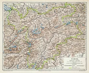
Tyrol map 1895
Meyers Konversations-Lexikon. Ein Nachschlagewerk des allgemeinen Wissens, 5th edition 17 volumes Bibliographisches Institut - Leipzig 1895-1897

Background imagePhysical Geography Collection: Map of Canada 1878

Map of Canada 1878
Encyclopedia Britannica 9th Edition Vol II New York, Samuel Hall 1878

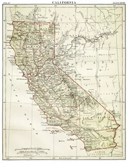
Background imagePhysical Geography Collection: Map of California 1878

Map of California 1878
Encyclopedia Britannica 9th Edition Vol II New York, Samuel Hall 1878

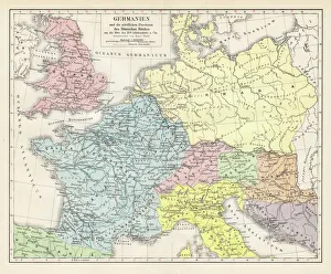
Background imagePhysical Geography Collection: Germany and the northern provinces of the roman empire map 1895

Germany and the northern provinces of the roman empire map 1895
Encyclopedia Britannica 9th Edition Vol I New York, Samuel Hall 1878

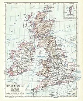
Background imagePhysical Geography Collection: Great Britain and England map 1895

Great Britain and England map 1895
Encyclopedia Britannica 9th Edition Vol I New York, Samuel Hall 1878

Background imagePhysical Geography Collection: Antique Greece empire map 1895

Antique Greece empire map 1895
Encyclopedia Britannica 9th Edition Vol I New York, Samuel Hall 1878

Background imagePhysical Geography Collection: Europe map 1867

Europe map 1867
Mitchellas Modern Atlas - Published by E.H. Butler and Co - Philadelphia 1867

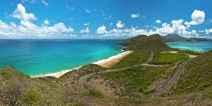
Background imagePhysical Geography Collection: St Kitts - Nevis view

St Kitts - Nevis view
From this view you can see North Frigate bay as well as Friars Bay, with the island of Nevis in the distance

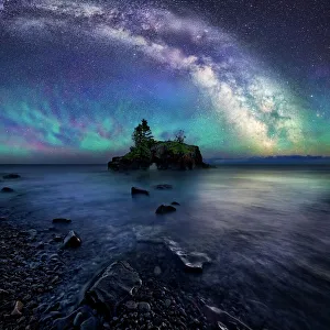
Background imagePhysical Geography Collection: Milky Way Over Hollow Rock

Milky Way Over Hollow Rock
Hollow rock is an iconic coastal formation located on the North West side of Lake Superior. Air glow creates a colorful luminescent atmosphere below the night sky and Milky Way

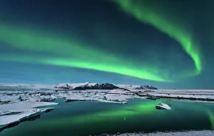
Background imagePhysical Geography Collection: The northern lights dance over the glacier lagoon in Iceland

The northern lights dance over the glacier lagoon in Iceland

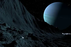
Background imagePhysical Geography Collection: A gigantic scarp on the surface of Uranus moon, Miranda

A gigantic scarp on the surface of Uranus moon, Miranda. It is the sheerest known cliff in the solar system. It may be 3 miles high

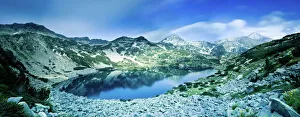
Background imagePhysical Geography Collection: View of Ribno Banderishko Lake in Pirin National Park, Bulgaria

View of Ribno Banderishko Lake in Pirin National Park, Bulgaria
Panoramic view of Ribno Banderishko Lake in Pirin National Park, Bansko, Bulgaria

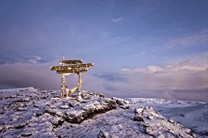
Background imagePhysical Geography Collection: Kilimanjaro Sunrise, Africa

Kilimanjaro Sunrise, Africa
Sunrise as seen from the summit of Mt Kilimanjaro in Tanzania, Africa

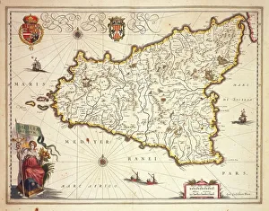
Background imagePhysical Geography Collection: Map of Sicily region, by Joan Blaeu

Map of Sicily region, by Joan Blaeu
Cartography, Italy, 17th century. Map of Sicily region, by Joan Blaeu

Background imagePhysical Geography Collection: Barbados, satellite image

Barbados, satellite image
Barbados. Landsat image of the island of Barbados in the Caribbean sea. North is at top. Barbados has a total land area of about 430 square kilometres

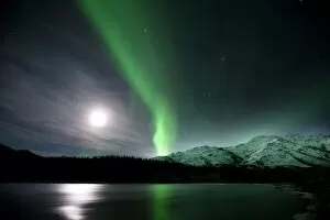
Background imagePhysical Geography Collection: Aurora borealis and Moon

Aurora borealis and Moon over mountains and trees by a river. This coloured light display (the northern lights) is visible in the night sky at high latitudes

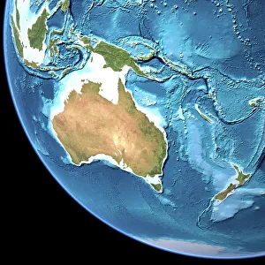
Background imagePhysical Geography Collection: Australia, topographic map

Australia, topographic map. Highlands and lowlands of the continents are shown as ridges and flat areas. Southeast Asia (top left), New Zealand (lower right) and Antarctica (bottom right)

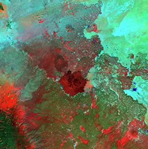
Background imagePhysical Geography Collection: Syrian Desert, satellite image

Syrian Desert, satellite image. North is at top. Vegetation is red and dark green, while arid areas of sand and rock are light green and light blue. Water is blue

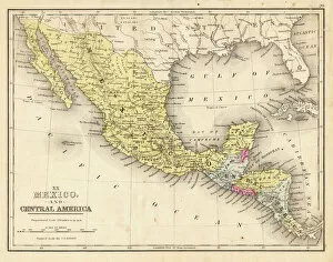
Background imagePhysical Geography Collection: Mexico and Central America map 1867

Mexico and Central America map 1867
Mitchellas Modern Atlas - Published by E.H. Butler and Co - Philadelphia 1867

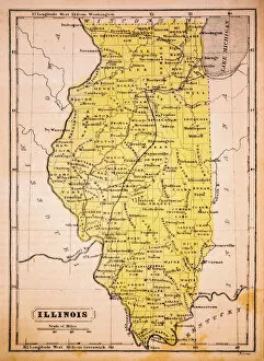
Background imagePhysical Geography Collection: Illinois 1852 Map

Illinois 1852 Map

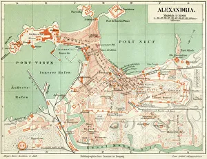
Background imagePhysical Geography Collection: Plan of the old city Alexandria 1895

Plan of the old city Alexandria 1895
Meyers Konversations-Lexikon. Ein Nachschlagewerk des allgemeinen Wissens, 5th edition 17 volumes Bibliographisches Institut - Leipzig 1895-1897

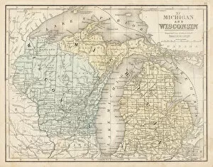
Background imagePhysical Geography Collection: Wisconsin MIchigan map 1867

Wisconsin MIchigan map 1867
Mitchellas Modern Atlas - Published by E.H. Butler and Co - Philadelphia 1867

Background imagePhysical Geography Collection: Antique map of Denmark

Antique map of Denmark

Background imagePhysical Geography Collection: Ofu Island, Manua'a island group, American Samoa, South Pacific

Ofu Island, Manua'a island group, American Samoa, South Pacific
Ofu Island, ManuA'a island group, American Samoa, South Pacific

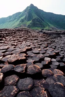
Background imagePhysical Geography Collection: Giants Causeway

Giants Causeway. Columns of basalt rock at the Giants Causeway, in County Antrim, Northern Ireland. This site has been designated a World Heritage Site

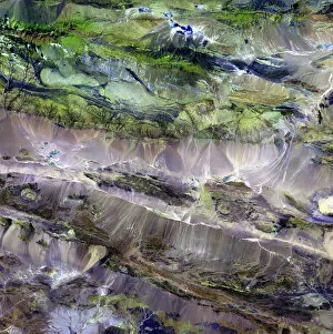
Background imagePhysical Geography Collection: Steppe-desert border, satellite image

Steppe-desert border, satellite image. North is at top. Arid areas of desert rock are brown, while grassy steppe areas are green. A small area of desert sands (yellow) is seen at far centre right

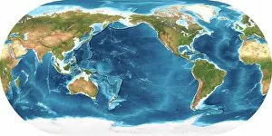
Background imagePhysical Geography Collection: Earth, topographic and bathymetric map

Earth, topographic and bathymetric map. This map is centred on the Pacific Ocean, at longitude 140 degrees west. Highlands and lowlands of the continents are shown as ridges and flat areas

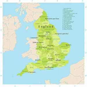
Background imagePhysical Geography Collection: Highly detailed vector map of England

Highly detailed vector map of England. Source data courtesy of NGDC and NASA. Source database: World Data Bank II. The source data is in the public domain. Data updated and improved
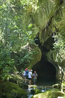
Background imagePhysical Geography Collection: Central America, Belize, Cayo, a guide escorts tourists into the Actun Tunichil Muknal

Central America, Belize, Cayo, a guide escorts tourists into the Actun Tunichil Muknal (ATM) cave near Belmopan

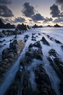
Background imagePhysical Geography Collection: Hartland Quay, rugged north Devon coastline, high tide at sunset, Devon, UK, April 2012

Hartland Quay, rugged north Devon coastline, high tide at sunset, Devon, UK, April 2012

Background imagePhysical Geography Collection: old map of europe

old map of europe
an old map form 1883, showing european countries

Background imagePhysical Geography Collection: Sittingbourne Kent UK City Street Map

Sittingbourne Kent UK City Street Map
Vector Illustration of a City Street Map of Sittingbourne, Kent, UK. Included files are EPS (v10) and Hi-Res JPG. Data courtesy from Ordnance Survey: VectorMap District https

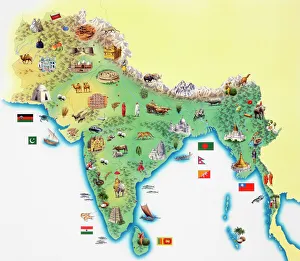
Background imagePhysical Geography Collection: India, map with illustrations showing distinguishing features

India, map with illustrations showing distinguishing features

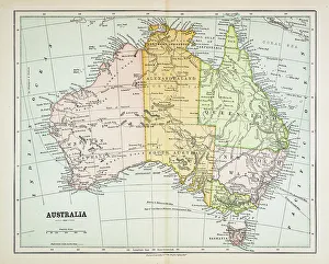
Background imagePhysical Geography Collection: Map of Australia 1883

Map of Australia 1883
Map of Australia


All Professionally Made to Order for Quick Shipping

"Exploring the Diverse Landscapes: A Journey through Physical Geography" Embark on a captivating journey through physical geography as we delve into the intricate details of our world's diverse landscapes. From the political map of Africa, showcasing its nations and boundaries, to Mappa Mundi - an exquisite ink and color creation from 1265 London that offers a glimpse into medieval cartography. Travel back in time with the antique maps such as Map of Ireland (1897), Great Britain and Ireland (1867), Sicily (1895), Palestine (1875), and even Tasmania. These historical artifacts not only provide geographical information but also offer insights into how our understanding of land has evolved over centuries. Discover the wonders hidden within Antarctica as you explore a unique map overlaid with illustrations of sea gulls, penguins, elephant seals, shrimp, and buildings. Witness China unfold before your eyes through its intricately detailed map or marvel at Earth's tectonic plates marked by lines on a global scale. Experience rare moments captured by nature itself like never before – witness a snow-covered United Kingdom during January 2010 or immerse yourself in Earth's topographic and bathymetric features depicted meticulously on one single map. Physical geography is more than just studying landforms; it is about unraveling stories etched onto every inch of our planet's surface. Join us on this fascinating expedition where maps become windows to exploration, knowledge, and appreciation for the remarkable diversity that exists right beneath our feet.