Fraud Blocker Skip to main content

Physical Geography Collection (page 5)

"Exploring the Diverse Landscapes

Background imagePhysical Geography Collection: Martian valley on planet Mars

Martian valley on planet Mars

Background imagePhysical Geography Collection: Challenge: Inspirational Quote and Motivational Poster

Challenge: Inspirational Quote and Motivational Poster
Challenge - Inspirational Quote and Motivational Poster. It reads: The only way to grow is to challenge yourself. ~ Ashley Tisdale

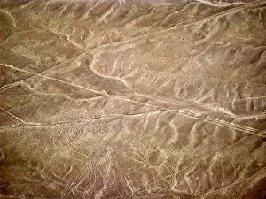
Background imagePhysical Geography Collection: Nazca lines representing monkey

Nazca lines representing monkey
Aerial view of Nazca lines representing monkey

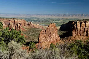
Background imagePhysical Geography Collection: Colorado, Grand Junction, Colorado National Monument. Independence Rock Overlook
Colorado, Grand Junction, Colorado National Monument. Independence Rock Overlook, typical red rock formations. Views of Grand Junction in the distance
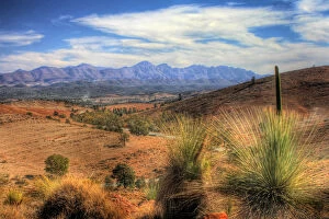
Background imagePhysical Geography Collection: Flinders Ranges National Park

Flinders Ranges National Park
Taken from Hucks Lookout between Blinman and Wilpena Pound in north of South Australia

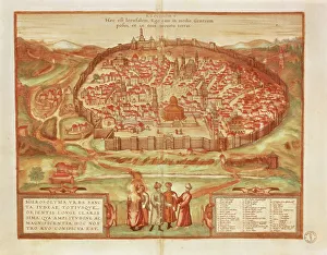
Background imagePhysical Geography Collection: Jerusalem from Civitates Orbis Terrarum by Georg Braun, 1541-1622 and Franz Hogenberg, 1540-1590

Jerusalem from Civitates Orbis Terrarum by Georg Braun, 1541-1622 and Franz Hogenberg, 1540-1590, engraving
Cartography, Israel and Palestine, 16th century. Jerusalem. From Civitates Orbis Terrarum by Georg Braun (1541-1622) and Franz Hogenberg (1540-1590), Cologne. Engraving

Background imagePhysical Geography Collection: Map of Bristol from Civitates Orbis Terrarum by Georg Braun, 1541-1622 and Franz Hogenberg

Map of Bristol from Civitates Orbis Terrarum by Georg Braun, 1541-1622 and Franz Hogenberg, 1540-1590, engraving
Cartography, Great Britain, 16th century. Map of Bristol. From Civitates Orbis Terrarum by Georg Braun (1541-1622) and Franz Hogenberg (1540-1590), Cologne. Engraving

Background imagePhysical Geography Collection: New and Accurate Map of Ancient and Modern Rome by Jean van Ram, copperplate

New and Accurate Map of Ancient and Modern Rome by Jean van Ram, copperplate, printed in Amsterdam circa 1691-1693
Cartography. Italy, 17th century. New and accurate map of Ancient and Modern Rome by Jean van Ram, Amsterdam 1691-1693 ca. Copperplate 50 x 59 cm

Background imagePhysical Geography Collection: Ichthyosaurus and Plesiosaurus

Ichthyosaurus and Plesiosaurus
Vintage engraving of an Ichthyosaurus and Plesiosaurus. The Ichthyosaurus is a genus of ichthyosaurs from the early Jurassic

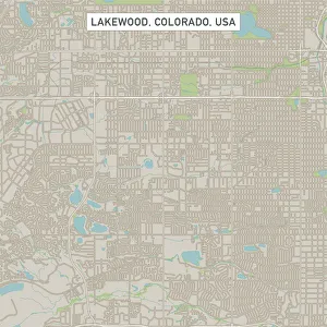
Background imagePhysical Geography Collection: Lakewood Colorado US City Street Map

Lakewood Colorado US City Street Map
Vector Illustration of a City Street Map of Lakewood, Colorado, USA. Scale 1:60, 000. All source data is in the public domain. U.S

Background imagePhysical Geography Collection: Austin Texas US City Street Map

Austin Texas US City Street Map
Vector Illustration of a City Street Map of Austin, Texas, USA. Scale 1:60, 000. All source data is in the public domain. U.S

Background imagePhysical Geography Collection: Abilene Texas US City Street Map

Abilene Texas US City Street Map
Vector Illustration of a City Street Map of Abilene, Texas, USA. Scale 1:60, 000. All source data is in the public domain. U.S

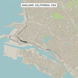
Background imagePhysical Geography Collection: Oakland California US City Street Map

Oakland California US City Street Map
Vector Illustration of a City Street Map of Oakland, California, USA. Scale 1:60, 000. All source data is in the public domain. U.S

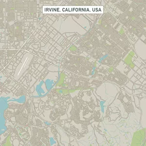
Background imagePhysical Geography Collection: Irvine California US City Street Map

Irvine California US City Street Map
Vector Illustration of a City Street Map of Irvine, California, USA. Scale 1:60, 000. All source data is in the public domain. U.S

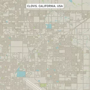
Background imagePhysical Geography Collection: Clovis California US City Street Map

Clovis California US City Street Map
Vector Illustration of a City Street Map of Clovis, California, USA. Scale 1:60, 000. All source data is in the public domain. U.S

Background imagePhysical Geography Collection: Pocatello Idaho US City Street Map

Pocatello Idaho US City Street Map
Vector Illustration of a City Street Map of Pocatello, Idaho, USA. Scale 1:60, 000. All source data is in the public domain. U.S

Background imagePhysical Geography Collection: Map of United States 1867

Map of United States 1867
Mitchells Modern Atlas - Published by E.H. Buttler & Co - Philadelphia 1867

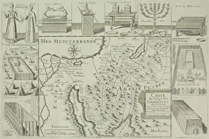
Background imagePhysical Geography Collection: Antique map of Israel with vignettes

Antique map of Israel with vignettes

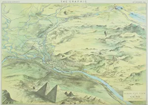
Background imagePhysical Geography Collection: Antique engraving depicting birds eye view of Cairo

Antique engraving depicting birds eye view of Cairo

Background imagePhysical Geography Collection: Ohio 1852 Map

Ohio 1852 Map

Background imagePhysical Geography Collection: Wisconsin 1852 Map

Wisconsin 1852 Map

Background imagePhysical Geography Collection: Antique map of Nile River

Antique map of Nile River

Background imagePhysical Geography Collection: The Landscape of Zhangjiajie National Forest Park, Hunan, China

The Landscape of Zhangjiajie National Forest Park, Hunan, China
The aerial view of Tianzi mountain area in Zhangjiajie National Forest Park

Background imagePhysical Geography Collection: Map of Hannover 1895

Map of Hannover 1895
Map of Hannover, Germany

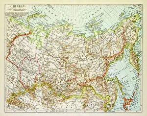
Background imagePhysical Geography Collection: Map of Siberia 1895

Map of Siberia 1895
Map of Siberia

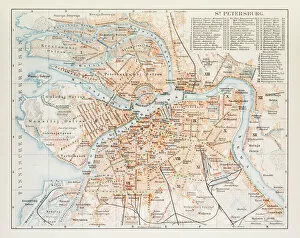
Background imagePhysical Geography Collection: Map of St. Petersburg 1895

Map of St. Petersburg 1895
Map of St. Petersburg, Russia

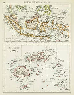
Background imagePhysical Geography Collection: Map of Fiji Sumatra Borneo 1897

Map of Fiji Sumatra Borneo 1897
Map of Fiji, Borneo, Sumatra, java

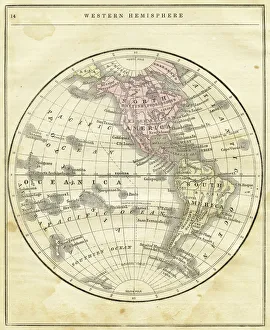
Background imagePhysical Geography Collection: Western Hemisphere map 1856

Western Hemisphere map 1856
Colton and Fitchs Modern School Geography by George W. Fitch - New York 1856

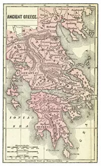
Background imagePhysical Geography Collection: Ancient Greece map 1875

Ancient Greece map 1875
The Independent Course Comprehensive Geography by James Monteith, A.S. Barnes & Co, New York & Chicago 1875

Background imagePhysical Geography Collection: Germany map 1875

Germany map 1875
The Independent Course Comprehensive Geography by James Monteith, A.S. Barnes & Co, New York & Chicago 1875

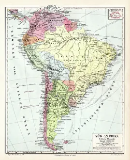
Background imagePhysical Geography Collection: South America political map 1895

South America political map 1895
Meyers Konversations-Lexikon. Ein Nachschlagewerk des allgemeinen Wissens, 5th edition 17 volumes Bibliographisches Institut - Leipzig 1895-1897

Background imagePhysical Geography Collection: Amsterdam city map 1895

Amsterdam city map 1895
Meyers Konversations-Lexikon. Ein Nachschlagewerk des allgemeinen Wissens, 5th edition 17 volumes Bibliographisches Institut - Leipzig 1895-1897

Background imagePhysical Geography Collection: North America political map 1895

North America political map 1895
Meyers Konversations-Lexikon. Ein Nachschlagewerk des allgemeinen Wissens, 5th edition 17 volumes Bibliographisches Institut - Leipzig 1895-1897

Background imagePhysical Geography Collection: Indiana USA map 1881

Indiana USA map 1881
Encyclopedia Britannica 9th Edition Vol XII Philadelphia j.M. Stoddart & Co 1881

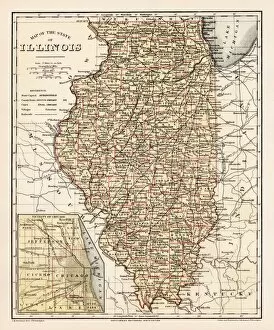
Background imagePhysical Geography Collection: Illinois map 1881

Illinois map 1881
Encyclopedia Britannica 9th Edition Vol XII Philadelphia j.M. Stoddart & Co 1881

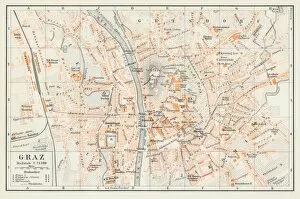
Background imagePhysical Geography Collection: Graz Austria map 1895

Graz Austria map 1895
Encyclopedia Britannica 9th Edition Vol I New York, Samuel Hall 1878

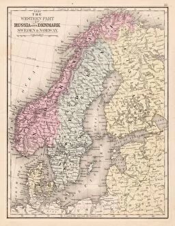
Background imagePhysical Geography Collection: Denmark Sweden Norway map 1867

Denmark Sweden Norway map 1867
Mitchellas Modern Atlas - Published by E.H. Butler and Co - Philadelphia 1867

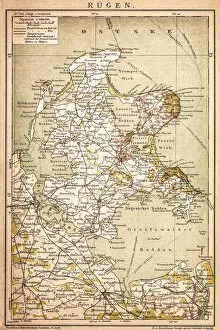
Background imagePhysical Geography Collection: RAOEgen

RAOEgen
Antique map of RAOEgen

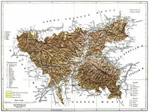
Background imagePhysical Geography Collection: Romania

Romania
Antique map of Romania

Background imagePhysical Geography Collection: Map of Kosice

Map of Kosice
Antique illustration of a map of Kosice

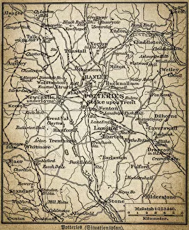
Background imagePhysical Geography Collection: Potteries map

Potteries map
Antique illustration of a Potteries map

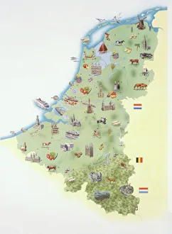
Background imagePhysical Geography Collection: Netherlands, map showing distinguishing features and landmarks

Netherlands, map showing distinguishing features and landmarks

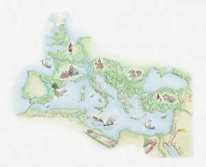
Background imagePhysical Geography Collection: Illustrated map of Roman Empire, BC

Illustrated map of Roman Empire, BC

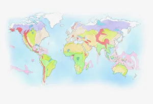
Background imagePhysical Geography Collection: Illustration of Biomes (climatic variation) on world map

Illustration of Biomes (climatic variation) on world map

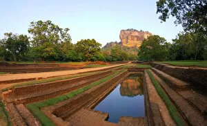
Background imagePhysical Geography Collection: Sigiriya Rock, Sri Lanka (Unesco world heritage site)

Sigiriya Rock, Sri Lanka (Unesco world heritage site)
Ancient city of Sigiriya. The ruins of the capital built by King Kassapa I (5th century) lie on the steep slopes and at the summit of a granite peak standing some 180m high (the Lions Rock)

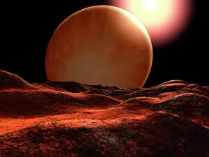
Background imagePhysical Geography Collection: One of the planets orbiting 70 Virginis is a super-Jupiter

One of the planets orbiting 70 Virginis is a super-Jupiter, so close to the star that it is heated to a red heat

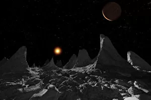
Background imagePhysical Geography Collection: Ice spires on Jupiters large moon, Callisto

Ice spires on Jupiters large moon, Callisto
The ice spires of Jupiters moon Callisto were created when softer ice evaporated, leaving behind the harder cores


All Professionally Made to Order for Quick Shipping

"Exploring the Diverse Landscapes: A Journey through Physical Geography" Embark on a captivating journey through physical geography as we delve into the intricate details of our world's diverse landscapes. From the political map of Africa, showcasing its nations and boundaries, to Mappa Mundi - an exquisite ink and color creation from 1265 London that offers a glimpse into medieval cartography. Travel back in time with the antique maps such as Map of Ireland (1897), Great Britain and Ireland (1867), Sicily (1895), Palestine (1875), and even Tasmania. These historical artifacts not only provide geographical information but also offer insights into how our understanding of land has evolved over centuries. Discover the wonders hidden within Antarctica as you explore a unique map overlaid with illustrations of sea gulls, penguins, elephant seals, shrimp, and buildings. Witness China unfold before your eyes through its intricately detailed map or marvel at Earth's tectonic plates marked by lines on a global scale. Experience rare moments captured by nature itself like never before – witness a snow-covered United Kingdom during January 2010 or immerse yourself in Earth's topographic and bathymetric features depicted meticulously on one single map. Physical geography is more than just studying landforms; it is about unraveling stories etched onto every inch of our planet's surface. Join us on this fascinating expedition where maps become windows to exploration, knowledge, and appreciation for the remarkable diversity that exists right beneath our feet.