Fraud Blocker Skip to main content

Region Collection (page 2)

Explore the captivating world of regions through a journey across time and space

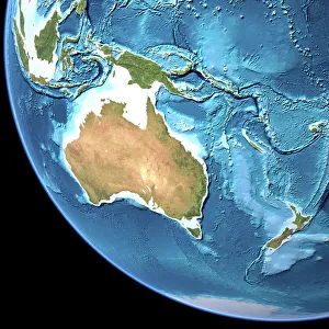
Background imageRegion Collection: Australia, topographic map

Australia, topographic map. Highlands and lowlands of the continents are shown as ridges and flat areas. Southeast Asia (top left), New Zealand (lower right) and Antarctica (bottom right)

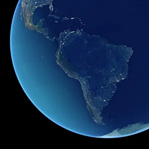
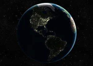
Background imageRegion Collection: South America at night, satellite image

South America at night, satellite image. City lights (yellow) show areas of dense population, particularly in North America (top left) and South Americas coasts

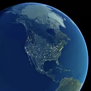
Background imageRegion Collection: North America at night, satellite image

North America at night, satellite image. City lights (yellow) show areas of dense population, particularly in North America (upper centre)

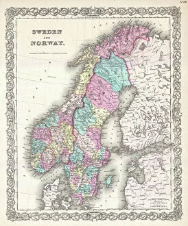
Background imageRegion Collection: 1855, Colton Map of Scandinavia, Norway, Sweden, Finland, topography, cartography

1855, Colton Map of Scandinavia, Norway, Sweden, Finland, topography, cartography
1855, Colton Map of Scandinavia, Norway, Sweden, Finland

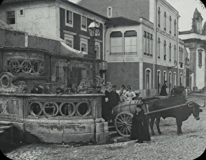
Background imageRegion Collection: Spain and Portugal - Leiria Fountain

Spain and Portugal - Leiria Fountain - Fountain foreground - Bullock cart with barrel, people around fountain - houses in background. Part of Box 149 Boswell collection - Portugal and Spain

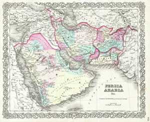
Background imageRegion Collection: 1855, Colton Map of Persia, Afghanistan, and Arabia, topography, cartography, geography

1855, Colton Map of Persia, Afghanistan, and Arabia, topography, cartography, geography
1855, Colton Map of Persia, Afghanistan, and Arabia

Background imageRegion Collection: 1848, Crutchley Pocket Map or Plan of London, England, topography, cartography, geography

1848, Crutchley Pocket Map or Plan of London, England, topography, cartography, geography
1848, Crutchley Pocket Map or Plan of London, England

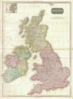
Background imageRegion Collection: 1818, Pinkerton Map of the British Isles, England, Scotland, Ireland, John Pinkerton

1818, Pinkerton Map of the British Isles, England, Scotland, Ireland, John Pinkerton, 1758 - 1826, Scottish antiquarian, cartographer, UK

Background imageRegion Collection: Water vapour maps of Antarctica, 2004

Water vapour maps of Antarctica, 2004
Water vapour maps of Antarctica. Satellite images of the increase in water vapour over Antarctica from 13 August to 14 October 2004 (the austral spring)

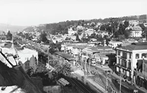
Background imageRegion Collection: Vina del Mar, Chile - Panorama of Miramar

Vina del Mar, Chile - Panorama of Miramar
Panoramic view of the Miramar beach area of Via del Mar (Spanish for Vineyard of the Sea ), also known locally as La Ciudad Jardin (Spanish for The Garden City)

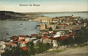
Background imageRegion Collection: Sinop - Turkey

Sinop - Turkey
Sinop is a city Ince Burun (Cape Ince), by its Cape Sinop (Sinop Burnu, Boztepe Cape, Boztepe Burnu) which is situated on the most northern edge of the Turkish side of Black Sea coast

Background imageRegion Collection: Silesia Plebiscite

Silesia Plebiscite
In Silesia, with a mixed German and Polish population, residents of Kattowitz/ Katowice await the results of the plebiscite which will divide the region

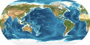
Background imageRegion Collection: Earth, topographic and bathymetric map

Earth, topographic and bathymetric map. This map is centred on the Pacific Ocean, at longitude 140 degrees west. Highlands and lowlands of the continents are shown as ridges and flat areas

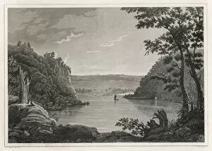
Background imageRegion Collection: Harpers Ferry, Wv

Harpers Ferry, Wv
This is where the Potomac and Shenandoah rivers merge, in the Blue Mountain region of West Virginia. In 1859 it will be the scene of John Browns ill-fated raid

Background imageRegion Collection: France Margaux

France Margaux
Le chateau de Margaux, in the Bordeaux region, justly reputed for its wine

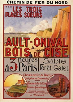
Background imageRegion Collection: French travel poster

French travel poster
Poster advertising the resorts of Ault-Onival and Bois de Cise in the Somme and Picardy region of France three hours from France via the French National Railway

Background imageRegion Collection: Um el Ma Oasis, date palms and sand dunes, Libyan Desert, Libya, Sahara, North Africa, Africa

Um el Ma Oasis, date palms and sand dunes, Libyan Desert, Libya, Sahara, North Africa, Africa

Background imageRegion Collection: A Clydesdale at Home - Scottish draft horse

A Clydesdale at Home - Scottish draft horse
The Clydesdale is a breed of draft horse derived from the farm horses of Clydesdale, Scotland, and named after that region. Date: circa 1910s

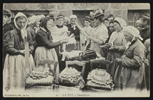
Background imageRegion Collection: Postcard depicting lacemakers of Le Puy, c. 1900 (b / w photo)

Postcard depicting lacemakers of Le Puy, c. 1900 (b / w photo)
REV382774 Postcard depicting lacemakers of Le Puy, c.1900 (b/w photo) by French Photographer, (20th century); Private Collection; (add.info.: carte postale, dentellieres)

Background imageRegion Collection: Germany, Bavaria, Lenggries, rearward Laengentalalm in the Laengental

Germany, Bavaria, Lenggries, rearward Laengentalalm in the Laengental

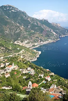
Background imageRegion Collection: View of the Amalfi coastline from the hillside town of Ravello

View of the Amalfi coastline from the hillside town of Ravello
ITALY, Campania, Ravello, View of the Amalfi coastline from the hillside town of Ravello

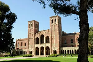
Background imageRegion Collection: Royce Hall & quad view UCLA Westwood

Royce Hall & quad view UCLA Westwood
USA, California, Los Angeles, Royce Hall & quad view UCLA Westwood

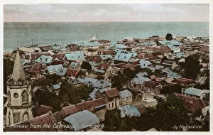
Background imageRegion Collection: Rooftops of Roseau - Dominica

Rooftops of Roseau - Dominica
The Rooftops of Roseau viewed from the Cathedral - Dominica. The demonym or adjective is " Dominican" in English

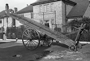
Background imageRegion Collection: NFS-London Region 50ft wheeled escape ladder, WW2

NFS-London Region 50ft wheeled escape ladder, WW2
An Ajax style wheeled escape ladder, wound out in its carriage, from Fire Force Area 34 Acton fire station (E1Z) located at 24 Gunnersbury Lane, Acton, West London

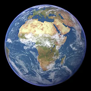
Background imageRegion Collection: Africa, satellite image

Africa, satellite image
Africa. Satellite image of the Earth centred on Africa. Clouds are white, oceans are blue and land is green and brown. Also seen are Europe (top) Asia (upper right), the Indian Ocean (right)

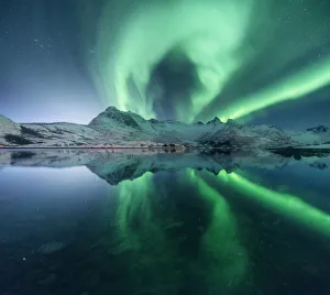
Background imageRegion Collection: Aurora borealis over a lake near Svolvaer, Lofoten islands, Norway

Aurora borealis over a lake near Svolvaer, Lofoten islands, Norway

Background imageRegion Collection: Aurora borealis over Tungeneset and the Okshornan Peaks, Senja Island, Norway

Aurora borealis over Tungeneset and the Okshornan Peaks, Senja Island, Norway

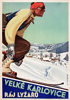
Background imageRegion Collection: Poster, Velke Karlovice, Raj Lyzaru

Poster, Velke Karlovice, Raj Lyzaru
Czech poster, Velke Karlovice, Raj Lyzaru, by Ladislav Horak -- Great Karlovice (a village in Vsetin District, Zlin Region, Czech Republic), a paradise for skiers. Date: 1946

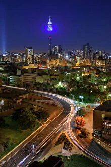
Background imageRegion Collection: View Of Hillbrow Tower & City Skyline, Johannesburg, Gauteng Province, South Africa

View Of Hillbrow Tower & City Skyline, Johannesburg, Gauteng Province, South Africa

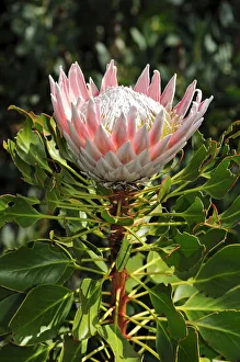
Background imageRegion Collection: King Protea (Protea cynaroides), national flower of South Africa, Cape Floristic Region

King Protea (Protea cynaroides), national flower of South Africa, Cape Floristic Region, South Africa, Africa

Background imageRegion Collection: Marsh Daisy (Armeria maritima), coast at Doolin, County Clare, Ireland, Europe

Marsh Daisy (Armeria maritima), coast at Doolin, County Clare, Ireland, Europe

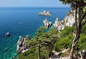
Background imageRegion Collection: Wildly romantic coast near Paleokastritsa, Corfu Island, northwestern Corfu, Ionian Islands

Wildly romantic coast near Paleokastritsa, Corfu Island, northwestern Corfu, Ionian Islands, Greece, Southern Europe

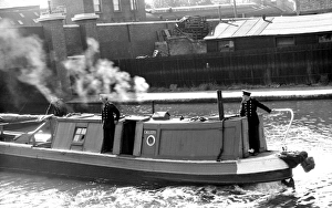
Background imageRegion Collection: NFS (London Region) narrow boat fitted with fire pumps

NFS (London Region) narrow boat fitted with fire pumps
There were 18 river fire stations along the length of the River Thames during WW2. They were used to accommodate the crews on a 24 hour standby to operate the fireboats

Background imageRegion Collection: Southeast Asia at night, satellite image

Southeast Asia at night, satellite image
Southeast Asia at night. Satellite image of the Earth seen at 18:00 (6pm) GMT (UCT), centred on China. City lights (yellow) show areas of dense population, particularly in India (left)

Background imageRegion Collection: Africa, topographic map

Africa, topographic map. Highlands and lowlands of the continents are shown as ridges and flat areas. Southern Europe and the Middle East are also seen at top and upper right respectively

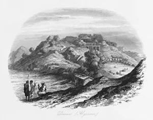
Background imageRegion Collection: View of Dessie (Dese, Dessye, Dixan), Ethiopia

View of Dessie (Dese, Dessye, Dixan), Ethiopia
A view of Dessie (Dese, Dessye, Dixan), in Amhara region, north central Ethiopia

Background imageRegion Collection: Acropolis at dusk, Athens, Attica, Greece

Acropolis at dusk, Athens, Attica, Greece

Background imageRegion Collection: Ionic order column, The Academy of Athens, detailed view, Athens, Attica, Greece

Ionic order column, The Academy of Athens, detailed view, Athens, Attica, Greece

Background imageRegion Collection: Saadian tombs, Marrakech-Safi (Marrakesh-Tensift-El Haouz) region, Marrakesh, Morocco

Saadian tombs, Marrakech-Safi (Marrakesh-Tensift-El Haouz) region, Marrakesh, Morocco

Background imageRegion Collection: View of the quad with towers of Royce Hall UCLA Westwood

View of the quad with towers of Royce Hall UCLA Westwood
USA, California, Los Angeles, View of the quad with towers of Royce Hall UCLA Westwood

Background imageRegion Collection: Man in traditional costume of Dubrovnik region of Croatia

Man in traditional costume of Dubrovnik region of Croatia
Man in the traditional costume of Dubrovnik region of Croatia. Date: circa 1920s

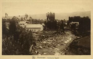
Background imageRegion Collection: Peru - Huancayo

Peru - Huancayo in Wanka Quechua (Wankayuq) - the capital of the Junin Region, in the central highlands. Date: circa 1910s

Background imageRegion Collection: Basque Dancing Men

Basque Dancing Men
A troupe of male dancers from the Basque region (Pyrenees), France. Date: 1930s

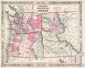
Background imageRegion Collection: 1864, Johnson Map of Washington, Oregon, and Idaho, topography, cartography, geography

1864, Johnson Map of Washington, Oregon, and Idaho, topography, cartography, geography
1864, Johnson Map of Washington, Oregon, and Idaho

Background imageRegion Collection: View from Piz Gloria, Mt. Schilthorn, Muerren, Canton Bern, Switzerland, Europe

View from Piz Gloria, Mt. Schilthorn, Muerren, Canton Bern, Switzerland, Europe

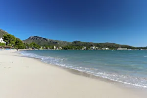
Background imageRegion Collection: The sandy beach Platja de Llenaire in Puerto Pollensa, Majorca, Balearic Islands, Spain, Europe

The sandy beach Platja de Llenaire in Puerto Pollensa, Majorca, Balearic Islands, Spain, Europe

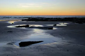
Background imageRegion Collection: Sunset on the beach in Broome, Australia

Sunset on the beach in Broome, Australia

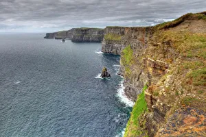
Background imageRegion Collection: Cliffs of Moher, County Clare, Ireland, Europe

Cliffs of Moher, County Clare, Ireland, Europe


All Professionally Made to Order for Quick Shipping

Explore the captivating world of regions through a journey across time and space. Step back to 1845, when the HMS Erebus and HMS Terror set sail on their ill-fated expedition in search of the Northwest Passage. These ships ventured into uncharted territories, braving treacherous waters and unknown lands. Fast forward to 1768, where James Craig's Map of New Town in Edinburgh showcases the birth of a new region. This meticulously crafted plan laid the foundation for an architectural masterpiece that still stands today. Travel eastward to Zahle in Lebanon, a region known for its rich history and vibrant culture. Nestled amidst picturesque landscapes, this enchanting place offers glimpses into ancient civilizations that once thrived here. Meet Captain Francis Crozier of HMS Terror, who fearlessly led his crew through icy Arctic waters. His unwavering determination embodies the spirit of exploration that defines regions yet untouched by human presence. Cast your eyes upon Orteliuss map from 1570, revealing the vast Ottoman Empire at its zenith. This intricate cartographic marvel provides insights into political boundaries and cultural diversity within this expansive region. Delve deeper into our own bodies with an artwork depicting the medulla oblongata in our brain - a vital region responsible for controlling essential functions like breathing and heartbeat. Journey back to ancient Greece with Delisle's Map from 1794, which unveils Southern Ancient Greece along with Greek Isles and Crete. Explore these historic regions teeming with myths, legends, and extraordinary tales waiting to be discovered. Witness London's Bedford Heavy Unit patrolling as part of NFS (London Region) during World War II. In this tumultuous era, regions played crucial roles in defending nations against external threats while fostering unity among communities within their borders. Marvel at an exquisite map showcasing Italy's diverse landscapes created by an unknown artist in 1902. From rolling hills adorned with vineyards to majestic coastlines, this region's beauty is truly unparalleled.