Fraud Blocker Skip to main content

Region Collection (page 4)

Explore the captivating world of regions through a journey across time and space

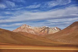
Background imageRegion Collection: The Surreal Landscape Of Bolivias Altiplano Region, Near Uyuni; Bolivia

The Surreal Landscape Of Bolivias Altiplano Region, Near Uyuni; Bolivia

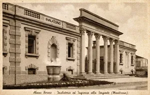
Background imageRegion Collection: Abano Terme, Italy - Imposing entrace to the Ancient Springs

Abano Terme, Italy - Imposing entrace to the Ancient Springs
Abano Terme is a spa town and commune in the province of Padua, in the Veneto region, Italy, on the eastern slope of the Colli Euganei

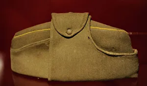
Background imageRegion Collection: Stanislau Urbans partisan hat. Latvia

Stanislau Urbans partisan hat. Latvia
Latvian national partisans. Stanislau Urbans partisan hat. Occupation Museum of Latvia. Riga

Background imageRegion Collection: Returning from market - Leiria

Returning from market - Leiria, a city and a municipality in the Centro Region of Portuga, the capital of Leiria District Date: 1909

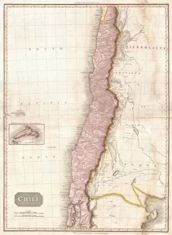
Background imageRegion Collection: 1818, Pinkerton Map of Chile, John Pinkerton, 1758 - 1826, Scottish antiquarian, cartographer

1818, Pinkerton Map of Chile, John Pinkerton, 1758 - 1826, Scottish antiquarian, cartographer, UK

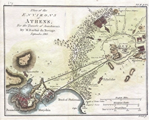
Background imageRegion Collection: 1784, Bocage Map of the City of Athens in Ancient Greece, topography, cartography

1784, Bocage Map of the City of Athens in Ancient Greece, topography, cartography
1784, Bocage Map of the City of Athens in Ancient Greece

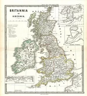
Background imageRegion Collection: 1865, Spruner Map of the British Isles, England, Scotland, Ireland, topography, cartography

1865, Spruner Map of the British Isles, England, Scotland, Ireland, topography, cartography
1865, Spruner Map of the British Isles, England, Scotland, Ireland

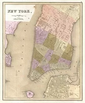
Background imageRegion Collection: 1839, Bradford Map of New York City, New York, topography, cartography, geography

1839, Bradford Map of New York City, New York, topography, cartography, geography
1839, Bradford Map of New York City, New York

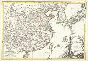
Background imageRegion Collection: 1770, Bonne Map of China, Korea, Japan and Formosa, Rigobert Bonne 1727 - 1794, one

1770, Bonne Map of China, Korea, Japan and Formosa, Rigobert Bonne 1727 - 1794, one of the most important cartographers of the late 18th century

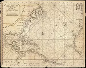
Background imageRegion Collection: 1683, Mortier Map of North America, the West Indies, and the Atlantic Ocean, topography

1683, Mortier Map of North America, the West Indies, and the Atlantic Ocean, topography
1683, Mortier Map of North America, the West Indies, and the Atlantic Ocean

Background imageRegion Collection: View to the west below the Weissfluhjoch in summer, 2693 m, Parsennbahn, Davos, Plessur Alps

View to the west below the Weissfluhjoch in summer, 2693 m, Parsennbahn, Davos, Plessur Alps, Graubuenden or Grisons, Switzerland, Europe

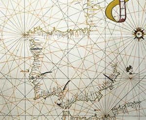
Background imageRegion Collection: Portolan Atlas, 1587. Map of the Iberian Peninsula

Portolan Atlas, 1587. Map of the Iberian Peninsula, the north coastline of Africa and the Vasque Countrys region in France. Made in Messina. Facsimile. Miniature Painting. SPAIN. Madrid

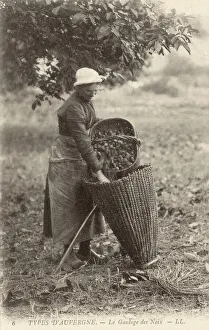
Background imageRegion Collection: A woman of the Auvergne collecting walnuts

A woman of the Auvergne collecting walnuts
A woman of the Auvergne region of France loading a wickerwork pannier backpack with the walnuts she has been collecting in her straw basket Date: 1910

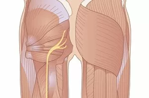
Background imageRegion Collection: Human muscle structure, artwork

Human muscle structure, artwork
Human muscle structure. Computer artwork showing the muscle structure of the gluteal region of a human. The sciatic nerve can also be seen (yellow)

Background imageRegion Collection: Chomutov - Czech Republic

Chomutov - Czech Republic
Chomutov (Komotau) is a city in the Czech Republic, in the Usti nad Labem Region

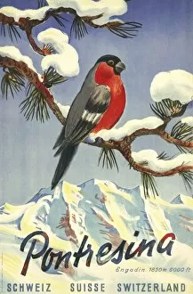
Background imageRegion Collection: Poster advertising Pontresina in Switzerland

Poster advertising Pontresina in Switzerland
Poster advertising Pontresina, an alpine village in the Engadin region of Switzerland, not far from St Moritz

Background imageRegion Collection: St Julien, Medoc

St Julien, Medoc
Beycheville Saint-Julien, Medoc - a wine chateau in the Bordeaux region

Background imageRegion Collection: Gamble (Old) Stavanger, Stavanger City, Ragoland District, South-Western Fjords Region

Gamble (Old) Stavanger, Stavanger City, Ragoland District, South-Western Fjords Region, Norway, Scandinavia, Europe

Background imageRegion Collection: Warehouses on Bryggen waterfront in Old Town District, Trondheim, Nord-Trondelag Region

Warehouses on Bryggen waterfront in Old Town District, Trondheim, Nord-Trondelag Region, Norway, Scandinavia, Europe

Background imageRegion Collection: Ama Dablam peak

Ama Dablam peak, Mt Everest Region, Himalayas, Nepal

Background imageRegion Collection: Steam Locomotive

Steam Locomotive
Steam train on the Southern Region, nr. Three Bridges, Sussex, England

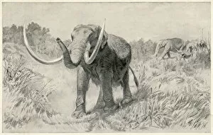
Background imageRegion Collection: Mastodon / Prehistoric US

Mastodon / Prehistoric US
A family of Mastodon, roaming the area of modern-day Manhattan Island. Bones of this large forerunner of the modern-day elephant have been found in this region

Background imageRegion Collection: Bay Beside Glandore Village In West Cork In Munster Region; Glandore, County Cork, Ireland

Bay Beside Glandore Village In West Cork In Munster Region; Glandore, County Cork, Ireland

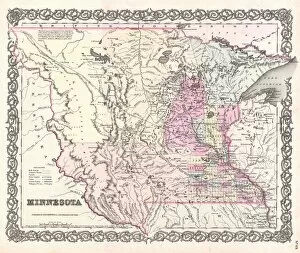
Background imageRegion Collection: 1855, Colton Map of Minnesota, topography, cartography, geography, land, illustration

1855, Colton Map of Minnesota, topography, cartography, geography, land, illustration
1855, Colton Map of Minnesota

Background imageRegion Collection: 1852, Levasseur Map of Asia, topography, cartography, geography, land, illustration

1852, Levasseur Map of Asia, topography, cartography, geography, land, illustration
1852, Levasseur Map of Asia

Background imageRegion Collection: 1863, Cassells Dispatch Atlas Map of Taiwan, Formosa and the Hainan Coast of China

1863, Cassells Dispatch Atlas Map of Taiwan, Formosa and the Hainan Coast of China

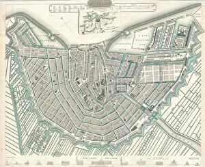
Background imageRegion Collection: 1835, S. D. U. K. City Map or Plan of Amsterdam, The Netherlands, topography, cartography

1835, S. D. U. K. City Map or Plan of Amsterdam, The Netherlands, topography, cartography
1835, S.D.U.K. City Map or Plan of Amsterdam, The Netherlands

Background imageRegion Collection: 1818, Pinkerton Map of Persia, Iran, Afghanistan, John Pinkerton, 1758 - 1826, Scottish

1818, Pinkerton Map of Persia, Iran, Afghanistan, John Pinkerton, 1758 - 1826, Scottish antiquarian, cartographer, UK

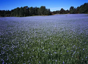
Background imageRegion Collection: linseed, flax, linum usitatissimum

linseed, flax, linum usitatissimum
Sweden, Vastergotland, Kallandso, Field of cultivated flax, Linum Ustitatissimum, used to make cloth, linseed oil and cattle feed

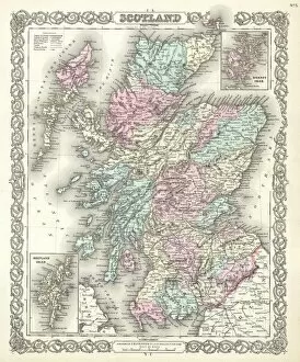
Background imageRegion Collection: 1855, Colton Map of Scotland, topography, cartography, geography, land, illustration

1855, Colton Map of Scotland, topography, cartography, geography, land, illustration
1855, Colton Map of Scotland

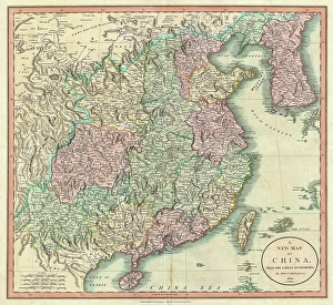
Background imageRegion Collection: 1801, Cary Map of China and Korea, John Cary, 1754 - 1835, English cartographer, topography

1801, Cary Map of China and Korea, John Cary, 1754 - 1835, English cartographer, topography
1801, Cary Map of China and Korea, John Cary, 1754 - 1835, English cartographer

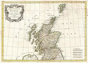
Background imageRegion Collection: 1772, Bonne Map of Scotland, Rigobert Bonne 1727 - 1794, one of the most important

1772, Bonne Map of Scotland, Rigobert Bonne 1727 - 1794, one of the most important cartographers of the late 18th century

Background imageRegion Collection: 1864, Garnier Map of Pairs, France w-Monuments, topography, cartography, geography

1864, Garnier Map of Pairs, France w-Monuments, topography, cartography, geography
1864, Garnier Map of Pairs, France w-Monuments

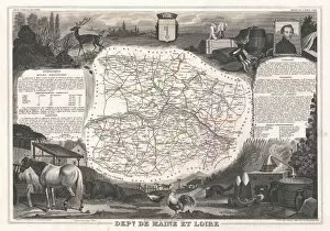
Background imageRegion Collection: 1852, Levasseur Map of the Department De Maine et Loire, France, topography, cartography

1852, Levasseur Map of the Department De Maine et Loire, France, topography, cartography
1852, Levasseur Map of the Department De Maine et Loire, France

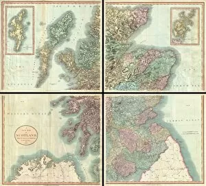
Background imageRegion Collection: 1801, Cary Map of Scotland, 4 Sheets, John Cary, 1754 - 1835, English cartographer

1801, Cary Map of Scotland, 4 Sheets, John Cary, 1754 - 1835, English cartographer

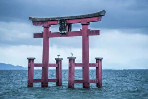
Background imageRegion Collection: Torii of Shirahige Shrine with birds on a cloudy day, Japan, Takashima, Shiga

Torii of Shirahige Shrine with birds on a cloudy day, Japan, Takashima, Shiga

Background imageRegion Collection: Torii of Shirahige Shrine with birds on a cloudy day, Japan, Takashima, Shiga

Torii of Shirahige Shrine with birds on a cloudy day, Japan, Takashima, Shiga.

Background imageRegion Collection: A group of Breton women and their embroideries

A group of Breton women and their embroideries
3078062 A group of Breton women and their embroideries; (add.info.: Photographic print of a group of Breton women, sat stitching)

Background imageRegion Collection: Gold model chariot from the Oxus treasure. Achaemenid Persian, Takht-l-Kuwad region. Tadjikistan

Gold model chariot from the Oxus treasure. Achaemenid Persian, Takht-l-Kuwad region. Tadjikistan
532129 Gold model chariot from the Oxus treasure. Achaemenid Persian, Takht-l-Kuwad region. Tadjikistan. 5-4th century BC (figurine); Universal History Archive/UIG.

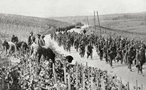
Background imageRegion Collection: The trail of war amid the peaceful vineyards of Northern France during WWI (litho)

The trail of war amid the peaceful vineyards of Northern France during WWI (litho)
3252887 The trail of war amid the peaceful vineyards of Northern France during WWI (litho); Private Collection; (add.info.: The trail of war amid the peaceful vineyards of Northern France during WWI)

Background imageRegion Collection: Map illustrating the region of the First Battle of the Aisne, France during WWI (litho)

Map illustrating the region of the First Battle of the Aisne, France during WWI (litho)
3252850 Map illustrating the region of the First Battle of the Aisne, France during WWI (litho); Private Collection; (add.info.: Map illustrating the region of the First Battle of the Aisne)

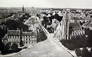
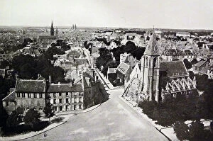
Background imageRegion Collection: Caen

Caen
3078065 Caen; (add.info.: Photographic print of Caen, the capital of northern France's Lower Normandy region. Dated 19th Century.); Universal History Archive/UIG.

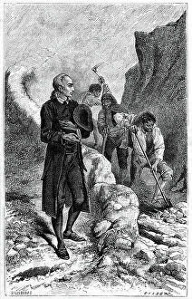
Background imageRegion Collection: Johann Friedrich Oberlin (1740-1826) Lutheran philanthropist and pastor in Vosges region of France

Johann Friedrich Oberlin (1740-1826) Lutheran philanthropist and pastor in Vosges region of France
530193 Johann Friedrich Oberlin (1740-1826) Lutheran philanthropist and pastor in Vosges region of France, encouraging his parishioners to construct road to decrease their isolation

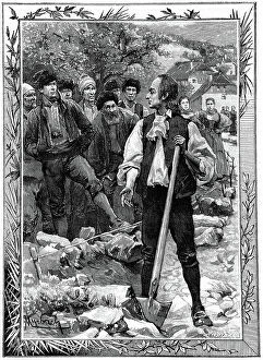
Background imageRegion Collection: Johann Friedrich Oberlin (1740-1826) Lutheran philanthropist and pastor in Vosges region of France

Johann Friedrich Oberlin (1740-1826) Lutheran philanthropist and pastor in Vosges region of France
530192 Johann Friedrich Oberlin (1740-1826) Lutheran philanthropist and pastor in Vosges region of France, encouraging his parishioners to construct road to decrease their isolation

Background imageRegion Collection: Muhammad al-Idrisi. Paris transcript of V-4. The map displays: the northern shoreline of Marmara Sea

Muhammad al-Idrisi. Paris transcript of V-4. The map displays: the northern shoreline of Marmara Sea
529625 Muhammad al-Idrisi. Paris transcript of V-4. The map displays: the northern shoreline of Marmara Sea, Gallipoli Peninsula

Background imageRegion Collection: Photographic print of Breton women

Photographic print of Breton women
3077680 Photographic print of Breton women; (add.info.: Photographic print of Breton women, sat stitching. The Bretons are an ethnic group located in the region of Brittany in France)

Background imageRegion Collection: Photographic print of Caen

Photographic print of Caen
3077675 Photographic print of Caen; (add.info.: Photographic print of Caen, the capital of northern France's Lower Normandy region. Dated 19th Century); Universal History Archive/UIG.

Background imageRegion Collection: Johann Friedrich Oberlin (1740-1826) Lutheran philanthropist

Johann Friedrich Oberlin (1740-1826) Lutheran philanthropist and pastor in the Vosges region of France
530191 Johann Friedrich Oberlin (1740-1826) Lutheran philanthropist and pastor in the Vosges region of France, cooking a frugal meal and reading. Wood engraving c1880.; Universal History Archive/UIG.


All Professionally Made to Order for Quick Shipping

Explore the captivating world of regions through a journey across time and space. Step back to 1845, when the HMS Erebus and HMS Terror set sail on their ill-fated expedition in search of the Northwest Passage. These ships ventured into uncharted territories, braving treacherous waters and unknown lands. Fast forward to 1768, where James Craig's Map of New Town in Edinburgh showcases the birth of a new region. This meticulously crafted plan laid the foundation for an architectural masterpiece that still stands today. Travel eastward to Zahle in Lebanon, a region known for its rich history and vibrant culture. Nestled amidst picturesque landscapes, this enchanting place offers glimpses into ancient civilizations that once thrived here. Meet Captain Francis Crozier of HMS Terror, who fearlessly led his crew through icy Arctic waters. His unwavering determination embodies the spirit of exploration that defines regions yet untouched by human presence. Cast your eyes upon Orteliuss map from 1570, revealing the vast Ottoman Empire at its zenith. This intricate cartographic marvel provides insights into political boundaries and cultural diversity within this expansive region. Delve deeper into our own bodies with an artwork depicting the medulla oblongata in our brain - a vital region responsible for controlling essential functions like breathing and heartbeat. Journey back to ancient Greece with Delisle's Map from 1794, which unveils Southern Ancient Greece along with Greek Isles and Crete. Explore these historic regions teeming with myths, legends, and extraordinary tales waiting to be discovered. Witness London's Bedford Heavy Unit patrolling as part of NFS (London Region) during World War II. In this tumultuous era, regions played crucial roles in defending nations against external threats while fostering unity among communities within their borders. Marvel at an exquisite map showcasing Italy's diverse landscapes created by an unknown artist in 1902. From rolling hills adorned with vineyards to majestic coastlines, this region's beauty is truly unparalleled.