
Road Map Collection
Embark on a journey of exploration with these diverse road maps, unveiling the beauty and complexity of various regions


All Professionally Made to Order for Quick Shipping
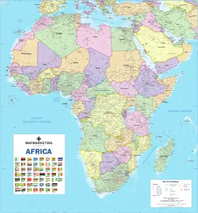
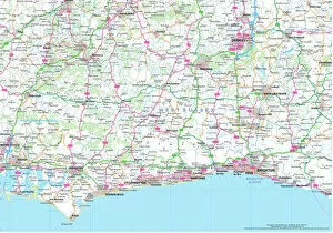
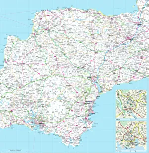
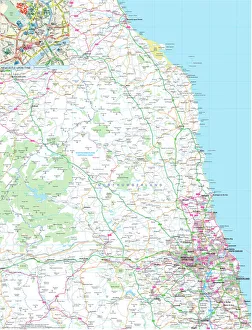
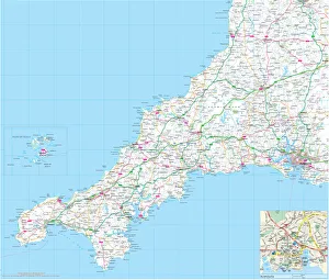
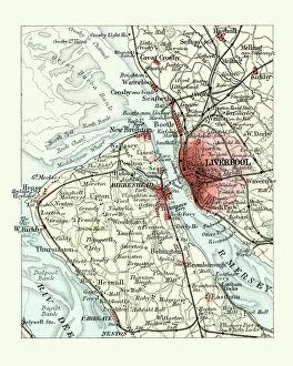
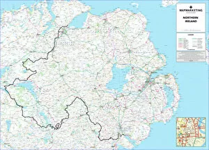
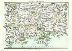
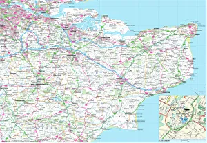
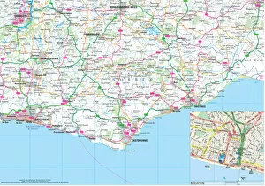
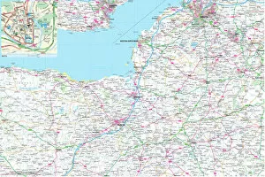
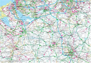
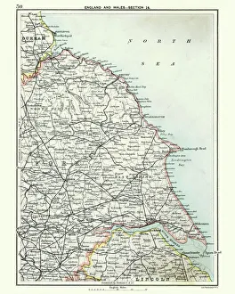
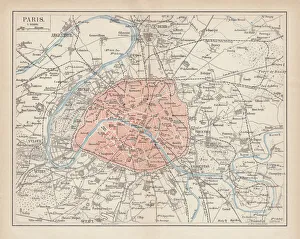
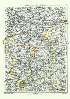
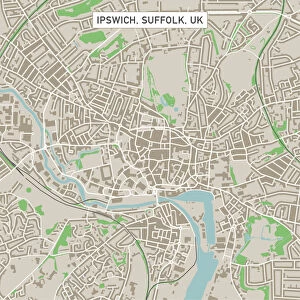
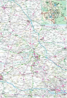
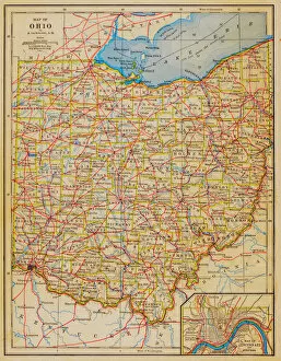
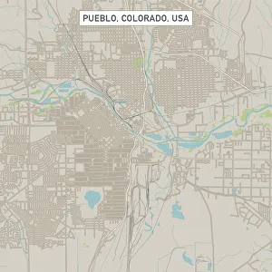
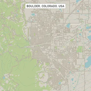
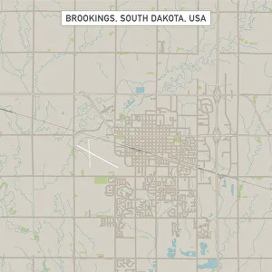
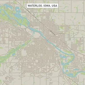
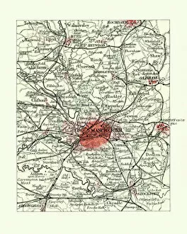
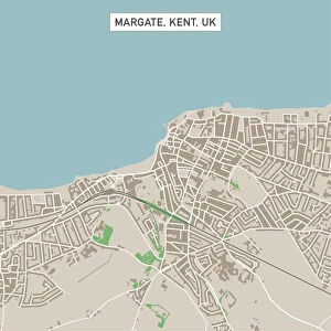
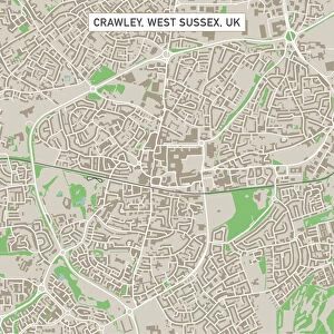
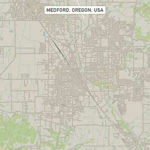
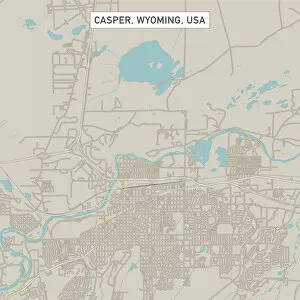
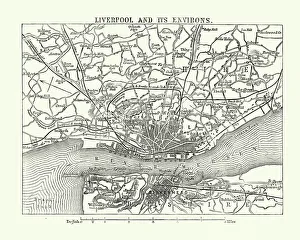
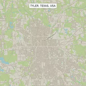
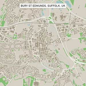
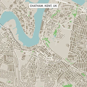
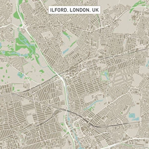
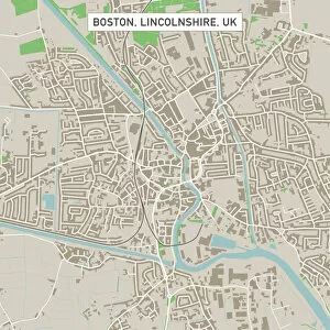
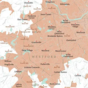
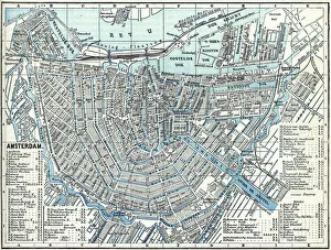
Embark on a journey of exploration with these diverse road maps, unveiling the beauty and complexity of various regions. From the vast landscapes of Africa to the charming counties of England, each map offers a unique perspective that will guide you through your travels. Discover the intricate political divisions within Africa as you navigate its rich tapestry through an informative Political Map. Uncover hidden gems in Northumberland County or Norfolk County with their detailed Road Maps, leading you to picturesque towns and breathtaking countryside. Immerse yourself in history as you trace Liverpool and Birkenhead's evolution throughout the 19th Century with an enchanting Antique Map. Experience the charm of Cornwall County or Devon County as their Road Maps unveil winding coastal routes and idyllic villages waiting to be explored. Navigate West Sussex County or Kent County effortlessly using their comprehensive Road Maps, ensuring no hidden gem goes unnoticed during your adventures. Explore Northern Ireland's captivating landscapes with a dedicated Road Map, guiding you through its stunning scenery and vibrant cities. Delve into Cheshire County or Somerset County's rural beauty using their detailed Road Maps, offering insights into lesser-known areas brimming with natural wonders. For those venturing across America’s vast expanse, rely on a highly detailed USA Road Map for an unforgettable cross-country expedition. Whether embarking on local escapades or grand international journeys, let these road maps be your trusted companions along every twist and turn. Unlock new horizons, embrace unfamiliar cultures, and create lasting memories as you follow these meticulously crafted guides.