Fraud Blocker Skip to main content

Rufford Close Collection

Welcome to Rufford Close, a diverse neighborhood that spans across various locations in the UK

Background imageRufford Close Collection: Kettering NN15 6 Map

Kettering NN15 6 Map
Postcode Sector Map of Kettering NN15 6

Background imageRufford Close Collection: Stockton-on-Tees TS17 0 Map

Stockton-on-Tees TS17 0 Map
Postcode Sector Map of Stockton-on-Tees TS17 0

Background imageRufford Close Collection: Chorley PR7 3 Map

Chorley PR7 3 Map
Postcode Sector Map of Chorley PR7 3

Background imageRufford Close Collection: Wakefield WF4 2 Map

Wakefield WF4 2 Map
Postcode Sector Map of Wakefield WF4 2

Background imageRufford Close Collection: Redcar & Cleveland TS14 7 Map

Redcar & Cleveland TS14 7 Map
Postcode Sector Map of Redcar & Cleveland TS14 7

Background imageRufford Close Collection: Middlesbrough TS7 8 Map

Middlesbrough TS7 8 Map
Postcode Sector Map of Middlesbrough TS7 8

Background imageRufford Close Collection: Watford WD17 4 Map

Watford WD17 4 Map
Postcode Sector Map of Watford WD17 4

Background imageRufford Close Collection: Eastleigh SO50 4 Map

Eastleigh SO50 4 Map
Postcode Sector Map of Eastleigh SO50 4

Background imageRufford Close Collection: Halton WA8 4 Map

Halton WA8 4 Map
Postcode Sector Map of Halton WA8 4

Background imageRufford Close Collection: Chesterfield S40 2 Map

Chesterfield S40 2 Map
Postcode Sector Map of Chesterfield S40 2

Background imageRufford Close Collection: Plymouth PL2 2 Map

Plymouth PL2 2 Map
Postcode Sector Map of Plymouth PL2 2

Background imageRufford Close Collection: Oldham OL2 7 Map

Oldham OL2 7 Map
Postcode Sector Map of Oldham OL2 7

Background imageRufford Close Collection: Tameside OL6 8 Map

Tameside OL6 8 Map
Postcode Sector Map of Tameside OL6 8

Background imageRufford Close Collection: Charnwood LE11 4 Map

Charnwood LE11 4 Map
Postcode Sector Map of Charnwood LE11 4

Background imageRufford Close Collection: Leicester LE10 2 Map

Leicester LE10 2 Map
Postcode Sector Map of Leicester LE10 2

Background imageRufford Close Collection: Ashfield NG15 7 Map

Ashfield NG15 7 Map
Postcode Sector Map of Ashfield NG15 7

Background imageRufford Close Collection: Newark and Sherwood NG22 8 Map

Newark and Sherwood NG22 8 Map
Postcode Sector Map of Newark and Sherwood NG22 8

Background imageRufford Close Collection: Newark and Sherwood NG21 9 Map

Newark and Sherwood NG21 9 Map
Postcode Sector Map of Newark and Sherwood NG21 9

Background imageRufford Close Collection: Ashfield NG17 4 Map

Ashfield NG17 4 Map
Postcode Sector Map of Ashfield NG17 4

Background imageRufford Close Collection: Bury M45 8 Map

Bury M45 8 Map
Postcode Sector Map of Bury M45 8

Background imageRufford Close Collection: Knowsley L35 5 Map

Knowsley L35 5 Map
Postcode Sector Map of Knowsley L35 5

Background imageRufford Close Collection: Leeds LS19 7 Map

Leeds LS19 7 Map
Postcode Sector Map of Leeds LS19 7

Background imageRufford Close Collection: Liverpool L10 8 Map

Liverpool L10 8 Map
Postcode Sector Map of Liverpool L10 8

Background imageRufford Close Collection: Hart GU52 6 Map

Hart GU52 6 Map
Postcode Sector Map of Hart GU52 6

Background imageRufford Close Collection: Harrow HA3 8 Map

Harrow HA3 8 Map
Postcode Sector Map of Harrow HA3 8

Background imageRufford Close Collection: Harrow HA3 0 Map

Harrow HA3 0 Map
Postcode Sector Map of Harrow HA3 0

Background imageRufford Close Collection: Cheshire East CW2 6 Map

Cheshire East CW2 6 Map
Postcode Sector Map of Cheshire East CW2 6

Background imageRufford Close Collection: Stratford-on-Avon B49 6 Map

Stratford-on-Avon B49 6 Map
Postcode Sector Map of Stratford-on-Avon B49 6

Background imageRufford Close Collection: B Birmingham, B23 5

B Birmingham, B23 5
B23 5


All Professionally Made to Order for Quick Shipping

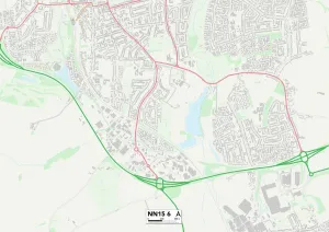
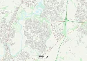
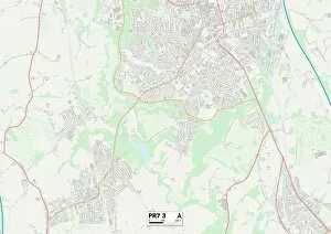
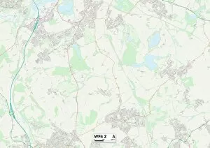
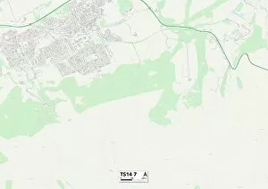
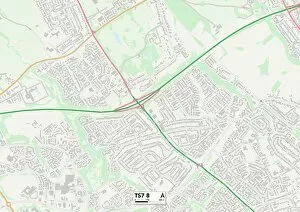
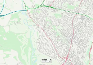
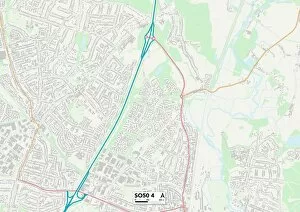
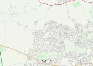
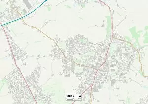
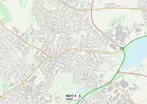
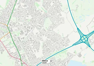
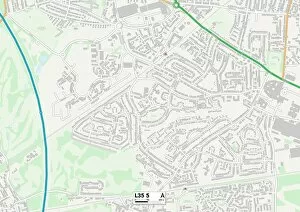
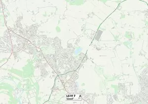
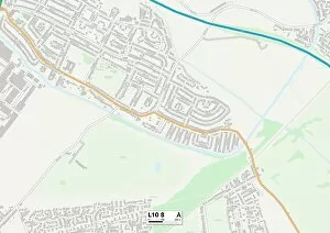
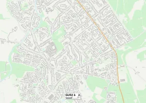
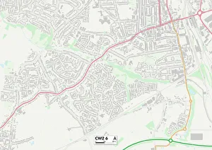
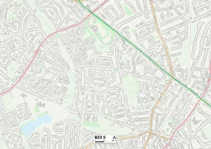
Welcome to Rufford Close, a diverse neighborhood that spans across various locations in the UK. From Kettering's NN15 6 Map to Stockton-on-Tees' TS17 0 Map, this community is spread far and wide. Chorley's PR7 3 Map and Wakefield's WF4 2 Map are just a couple more stops on our journey through Rufford Close. As we continue exploring, we find ourselves in Redcar & Cleveland's TS14 7 Map and Middlesbrough's TS7 8 Map. These areas bring their own unique charm and character to the tapestry of Rufford Close. Moving further south, we arrive at Watford's WD17 4 Map where vibrant city life meets suburban tranquility. Eastleigh's SO50 4 Map offers its residents a peaceful retreat from the hustle and bustle of nearby cities. Heading northwest, Halton's WA8 4 Map welcomes us with open arms as we discover its tight-knit community spirit. Chesterfield's S40 2Map showcases its rich history while embracing modernity. Our journey concludes in Plymouth’s PL2 2Map - a coastal gem offering stunning views of the sea alongside an array of recreational activities for all ages. Finally, Oldham’s OL2 7Map invites us to delve into its cultural heritage while enjoying the warmth of its friendly locals. Rufford Close is not just about geographical diversity; it represents unity among different communities coming together under one name. It symbolizes strength through diversity and celebrates the beauty found within each location along this remarkable path across the UK map.