
Saxon Close Collection
Discover the hidden gems of Saxon Close, a collection of picturesque neighborhoods scattered across the UK


All Professionally Made to Order for Quick Shipping
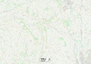
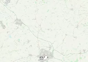
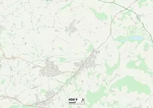
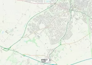
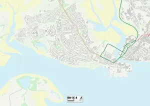
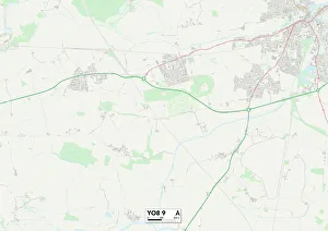
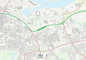
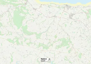
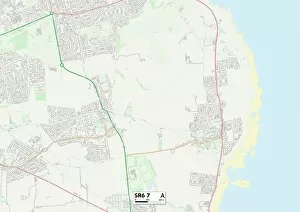
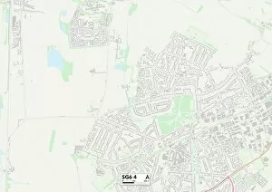
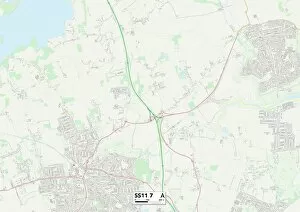
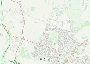
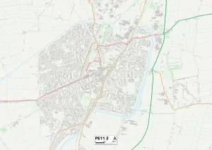
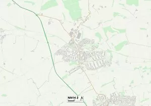
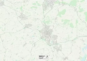
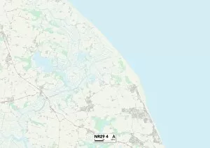
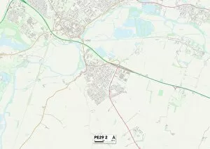
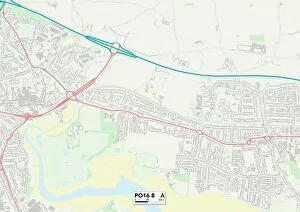
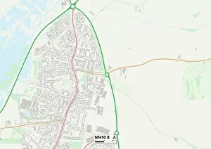
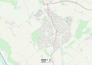
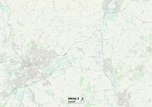
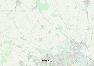
Discover the hidden gems of Saxon Close, a collection of picturesque neighborhoods scattered across the UK. From Worcester's WR6 6 Map to Slough's SL3 8 Map, each location offers its own unique charm and character. Explore the historic streets of Harborough in LE16 7 Map or immerse yourself in the tranquility of Kirklees in HD8 9 Map. Enjoy coastal living in Poole's BH15 4 Map or delve into history and culture in York's YO8 9 Map. Experience the vibrant community spirit of Warrington's WA4 5 Map or embrace urban life in Middlesbrough's TS3 6 Map. Unwind amidst nature and greenery at Eastleigh's SO31 9 Map or escape to rural bliss in Somerset's TA23 0 map. Discover stunning coastline views from Sunderland’s SR6 7 map or indulge your senses with North Hertfordshire’s SG6-4 map. Wherever you choose to explore, Saxon Close promises an unforgettable journey filled with beauty, diversity, and endless possibilities.