
Sciences Collection
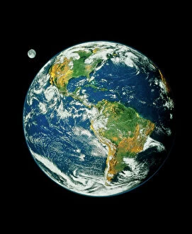
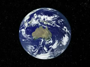
"Exploring the Wonders of Sciences: From Whole Earth to Beyond" Witness the breathtaking beauty of our planet with the iconic Blue Marble 2000 image


All Professionally Made to Order for Quick Shipping
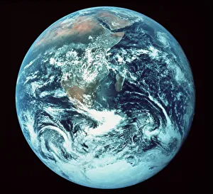
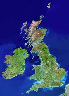
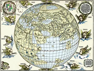
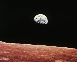
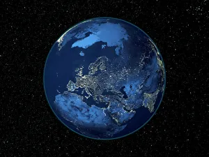
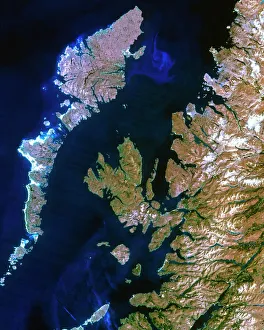
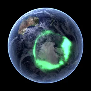
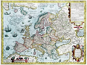
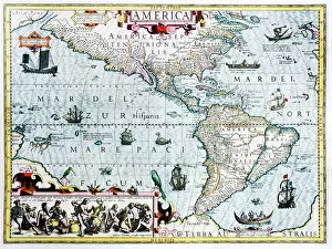
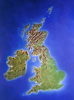
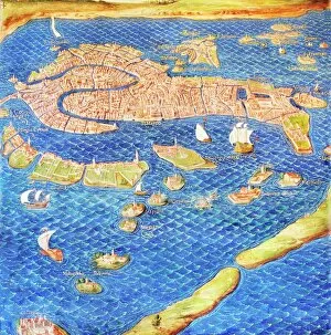
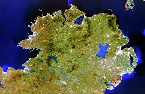
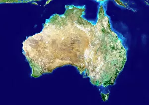
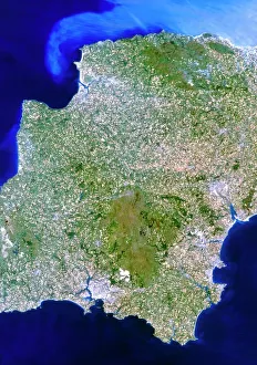
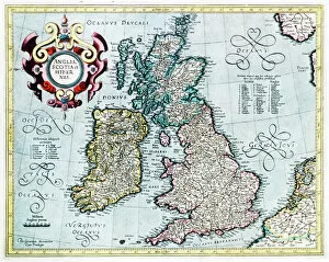
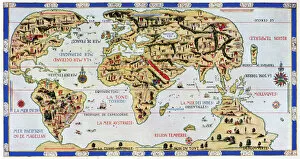
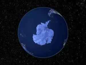
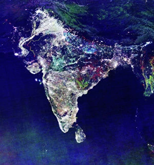
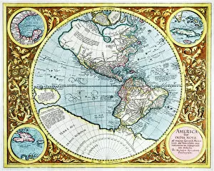
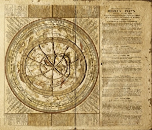
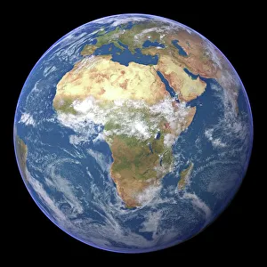
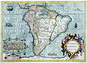
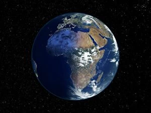
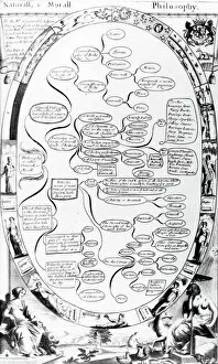
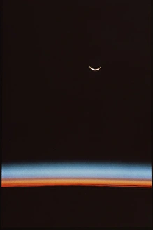
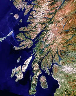
"Exploring the Wonders of Sciences: From Whole Earth to Beyond" Witness the breathtaking beauty of our planet with the iconic Blue Marble 2000 image, capturing the entirety of Earth in one mesmerizing view. Apollo 17's photograph of our whole earth from space reminds us of humanity's small yet significant place in the vastness of the universe. Discover a bird's-eye perspective with a satellite image showcasing the stunning British Isles, highlighting their unique geographical features and natural splendor. Unveil ancient wisdom through The Emerald Tablet, also known as Smaragdine Table or Tabula Smaragdina, an enigmatic text that holds secrets about alchemy and metaphysics. Journey back in time with Durer's world map from 1515, marveling at how early cartographers envisioned our planet before modern scientific advancements. Explore Science Allegorised, where art meets knowledge as intricate illustrations depict various branches of science and their interconnectedness. Experience awe-inspiring moments like never before with Earthrise - a captivating sight witnessed by astronauts above the moon's surface that forever changed our perception of home. Immerse yourself in history through a 16th-century plan of Florence, offering insights into both urban development and scientific progress during Renaissance times. Illuminate your nightscape curiosity with a satellite image revealing North America glowing under city lights – showcasing human activity across this vast continent after sunset. Travel through time and geography with a meticulously detailed 17th-century map depicting Europe’s diverse regions while reflecting evolving political boundaries and cultural identities. Dive into nature's wonders as you explore northwest Scotland through a true-color satellite image – unveiling its rugged landscapes, pristine lochs, and untamed beauty from above. Study topography like never before using an intricately crafted relief map showcasing United Kingdom and Eire – a tangible representation of the land's elevations and features.