
Sea Of Marmara Collection
"The Sea of Marmara: A Journey Through Time and History" Step into the past with an antique map of Constantinople, present-day Istanbul


All Professionally Made to Order for Quick Shipping
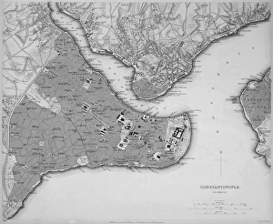
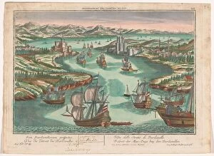
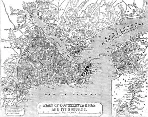
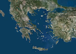
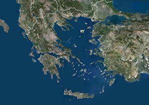
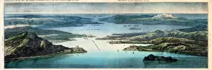
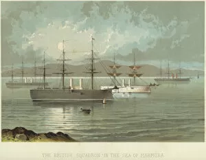
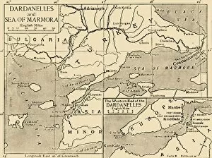
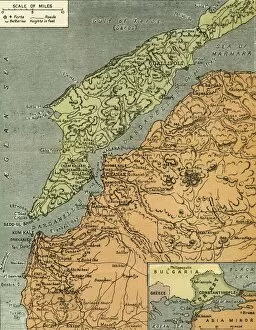
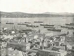
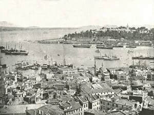
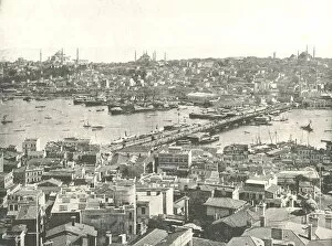
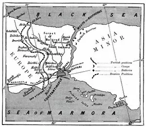
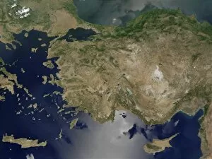
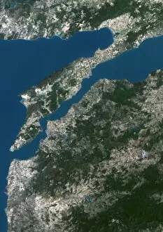
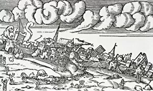
"The Sea of Marmara: A Journey Through Time and History" Step into the past with an antique map of Constantinople, present-day Istanbul. Explore the city's rich heritage as you navigate through its vibrant streets and iconic landmarks. From a bird's eye view, witness the breathtaking beauty of the Strait dei Dardanelli. On one side lies the European coast, while on the other stands Asia, both guarded by formidable forts that once defended this precious territory in 1853. Immerse yourself in history as you gaze upon "The Golden Horn" captured in watercolor on paper back in 1896. Feel the allure of this natural harbor that has witnessed countless tales unfold throughout centuries. Witness naval power at its finest with "The British Squadron in the Sea of Marmara. " This colorful lithograph showcases mighty ships sailing these historic waters, reminding us of their strategic importance. Marvel at "Straits on the Bosphorus, " a chromolitho capturing the essence of this narrow passage connecting two continents. Let your imagination wander as you envision ancient vessels navigating these treacherous yet awe-inspiring waters. Visit San Stefano House where momentous treaties were signed amidst picturesque landscapes depicted in vivid color lithographs. These images transport us to significant moments that shaped history within these very shores. Discover a mysterious map from c1914 highlighting both The Dardanelles and Sea of Marmara—its creator unknown but leaving behind traces for future generations to unravel secrets hidden within its intricate details. Explore "The Dardanelles with its Forts" through a lens provided by London Geographical Institute in 1919—a snapshot frozen in time showcasing military might guarding these vital straits during tumultuous times. Capture glimpses from everyday life along The Bosphorus looking towards Scutari—an Ottoman Empire masterpiece painted by an anonymous artist back in 1895. Feel transported to another era as bustling boats and vibrant cityscapes come to life.