
Sir Mark Sykes Collection
Sir Mark Sykes was a British diplomat and politician who played a significant role in shaping the Middle East during the early 20th century


All Professionally Made to Order for Quick Shipping
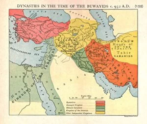
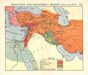
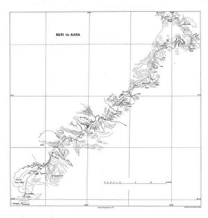
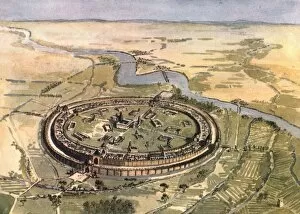
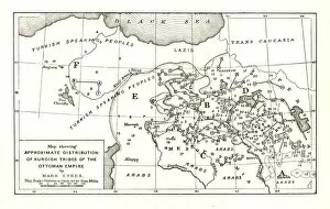
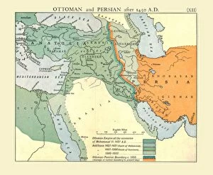
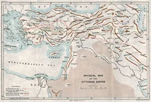
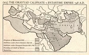
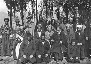
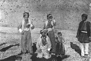
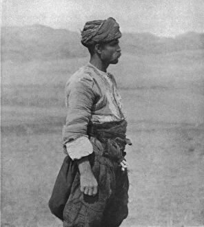
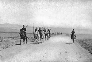
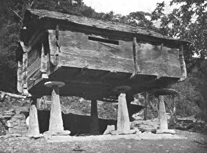
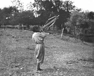
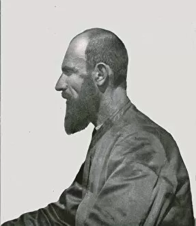
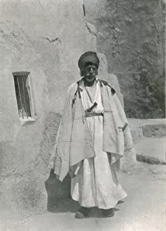
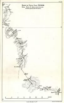
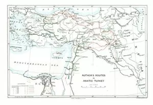
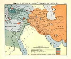
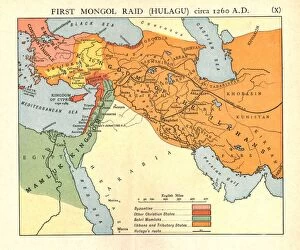
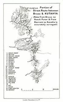
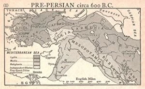
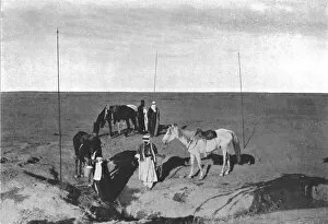
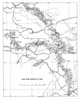
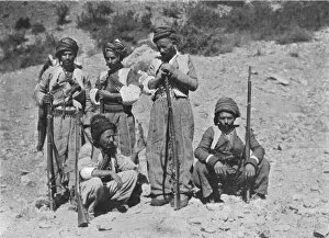
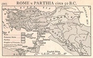
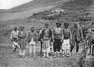
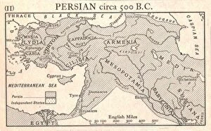
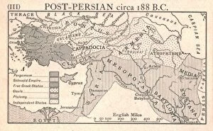
Sir Mark Sykes was a British diplomat and politician who played a significant role in shaping the Middle East during the early 20th century. His expertise in dynasties, history, and geography allowed him to navigate complex political landscapes. With his deep knowledge of Byzantine and Crusader history versus the Seljuks, Sir Mark Sykes understood the historical context that influenced contemporary conflicts. He recognized the importance of understanding past power struggles to effectively address present challenges. Sykes also had an eye for capturing cultural diversity through his photographs. From Neri to Akra, he documented different communities and individuals with precision. Whether it was Shaykh Hamid Pasha or Musa Bey el Abbasieh, he captured their essence and shared their stories with the world. In addition to his photography skills, Sir Mark Sykes contributed to cartography by creating maps like "Physical Map of the Ottoman Empire. " These maps provided crucial information about territorial boundaries and geographical features that were essential for strategic decision-making. Furthermore, Sir Mark Sykes delved into ancient history by exploring clashes between empires such as The Abbasid Caliphate versus Byzantine Empire or The Omayyad Caliphate versus Byzantine Empire. By studying these conflicts from centuries ago, he gained insights into how they shaped modern-day politics in the region. Lastly, Sir Mark Sykes showcased his interest in anthropology through portraits like "Kastamuni Peasant showing Gallic Type. " This photograph exemplified his curiosity about human diversity and highlighted unique characteristics within various ethnic groups.