Fraud Blocker Skip to main content

St Marys Close Collection

"Discover the hidden gems of St Mary's Close, scattered across various locations in the UK

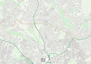
Background imageSt Marys Close Collection: Leeds LS7 3 Map

Leeds LS7 3 Map
Postcode Sector Map of Leeds LS7 3

Background imageSt Marys Close Collection: Wolverhampton WV10 7 Map

Wolverhampton WV10 7 Map
Postcode Sector Map of Wolverhampton WV10 7

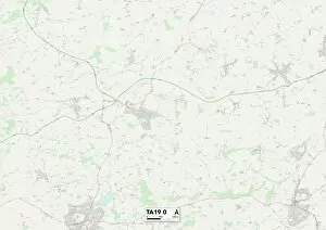
Background imageSt Marys Close Collection: Somerset TA19 0 Map

Somerset TA19 0 Map
Postcode Sector Map of Somerset TA19 0

Background imageSt Marys Close Collection: Horsham RH20 3 Map

Horsham RH20 3 Map
Postcode Sector Map of Horsham RH20 3

Background imageSt Marys Close Collection: Cornwall PL31 1 Map

Cornwall PL31 1 Map
Postcode Sector Map of Cornwall PL31 1

Background imageSt Marys Close Collection: Thurrock RM17 6 Map

Thurrock RM17 6 Map
Postcode Sector Map of Thurrock RM17 6

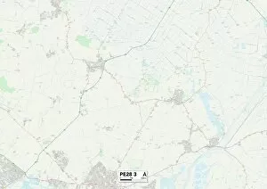
Background imageSt Marys Close Collection: Huntingdonshire PE28 3 Map

Huntingdonshire PE28 3 Map
Postcode Sector Map of Huntingdonshire PE28 3

Background imageSt Marys Close Collection: Norfolk NR12 8 Map

Norfolk NR12 8 Map
Postcode Sector Map of Norfolk NR12 8

Background imageSt Marys Close Collection: Milton Keynes MK17 8 Map

Milton Keynes MK17 8 Map
Postcode Sector Map of Milton Keynes MK17 8

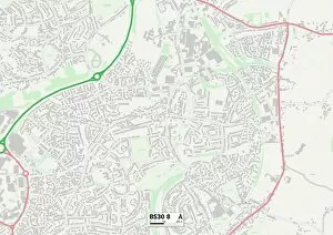
Background imageSt Marys Close Collection: South Gloucestershire BS30 8 Map

South Gloucestershire BS30 8 Map
Postcode Sector Map of South Gloucestershire BS30 8

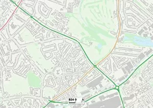
Background imageSt Marys Close Collection: Birmingham B24 0 Map

Birmingham B24 0 Map
Postcode Sector Map of Birmingham B24 0

Background imageSt Marys Close Collection: Wolverhampton WV7 3 Map

Wolverhampton WV7 3 Map
Postcode Sector Map of Wolverhampton WV7 3

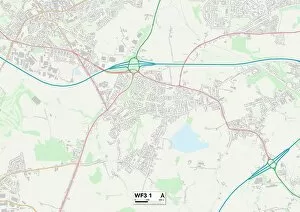
Background imageSt Marys Close Collection: Leeds WF3 1 Map

Leeds WF3 1 Map
Postcode Sector Map of Leeds WF3 1

Background imageSt Marys Close Collection: North Yorkshire YO7 1 Map

North Yorkshire YO7 1 Map
Postcode Sector Map of North Yorkshire YO7 1

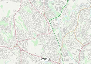
Background imageSt Marys Close Collection: Wolverhampton WV14 9 Map

Wolverhampton WV14 9 Map
Postcode Sector Map of Wolverhampton WV14 9

Background imageSt Marys Close Collection: Stockton-on-Tees TS18 2 Map

Stockton-on-Tees TS18 2 Map
Postcode Sector Map of Stockton-on-Tees TS18 2

Background imageSt Marys Close Collection: Warrington WA4 5 Map

Warrington WA4 5 Map
Postcode Sector Map of Warrington WA4 5

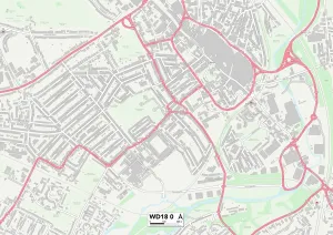
Background imageSt Marys Close Collection: Watford WD18 0 Map

Watford WD18 0 Map
Postcode Sector Map of Watford WD18 0

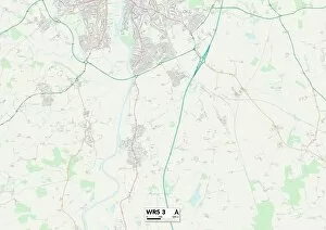
Background imageSt Marys Close Collection: Worcester WR5 3 Map

Worcester WR5 3 Map
Postcode Sector Map of Worcester WR5 3

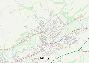
Background imageSt Marys Close Collection: Powys SY16 2 Map

Powys SY16 2 Map
Postcode Sector Map of Powys SY16 2

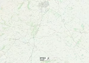
Background imageSt Marys Close Collection: Shropshire SY10 8 Map

Shropshire SY10 8 Map
Postcode Sector Map of Shropshire SY10 8

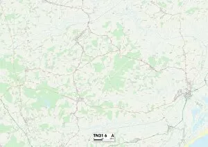
Background imageSt Marys Close Collection: Rother TN31 6 Map

Rother TN31 6 Map
Postcode Sector Map of Rother TN31 6

Background imageSt Marys Close Collection: Ashford TN26 2 Map

Ashford TN26 2 Map
Postcode Sector Map of Ashford TN26 2

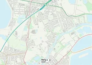
Background imageSt Marys Close Collection: Spelthorne TW16 6 Map

Spelthorne TW16 6 Map
Postcode Sector Map of Spelthorne TW16 6

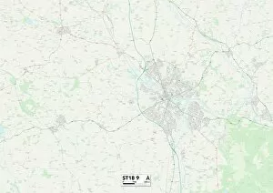
Background imageSt Marys Close Collection: Staffordshire ST18 9 Map

Staffordshire ST18 9 Map
Postcode Sector Map of Staffordshire ST18 9

Background imageSt Marys Close Collection: Staffordshire ST10 4 Map

Staffordshire ST10 4 Map
Postcode Sector Map of Staffordshire ST10 4

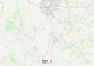
Background imageSt Marys Close Collection: Somerset TA20 2 Map

Somerset TA20 2 Map
Postcode Sector Map of Somerset TA20 2

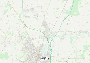
Background imageSt Marys Close Collection: Winchester SO23 7 Map

Winchester SO23 7 Map
Postcode Sector Map of Winchester SO23 7

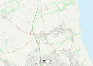
Background imageSt Marys Close Collection: County Durham SR8 3 Map

County Durham SR8 3 Map
Postcode Sector Map of County Durham SR8 3

Background imageSt Marys Close Collection: North Hertfordshire SG5 3 Map

North Hertfordshire SG5 3 Map
Postcode Sector Map of North Hertfordshire SG5 3

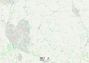
Background imageSt Marys Close Collection: Stevenage SG2 7 Map

Stevenage SG2 7 Map
Postcode Sector Map of Stevenage SG2 7

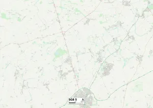
Background imageSt Marys Close Collection: North Hertfordshire SG8 5 Map

North Hertfordshire SG8 5 Map
Postcode Sector Map of North Hertfordshire SG8 5

Background imageSt Marys Close Collection: North Hertfordshire SG6 3 Map

North Hertfordshire SG6 3 Map
Postcode Sector Map of North Hertfordshire SG6 3

Background imageSt Marys Close Collection: High Peak SK23 6 Map

High Peak SK23 6 Map
Postcode Sector Map of High Peak SK23 6

Background imageSt Marys Close Collection: Kennet SN10 5 Map

Kennet SN10 5 Map
Postcode Sector Map of Kennet SN10 5

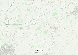
Background imageSt Marys Close Collection: Wiltshire SN15 4 Map

Wiltshire SN15 4 Map
Postcode Sector Map of Wiltshire SN15 4

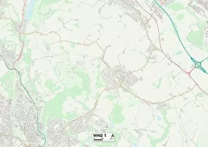
Background imageSt Marys Close Collection: Wigan WN2 1 Map

Wigan WN2 1 Map
Postcode Sector Map of Wigan WN2 1

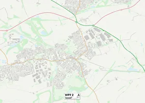
Background imageSt Marys Close Collection: Wakefield WF9 2 Map

Wakefield WF9 2 Map
Postcode Sector Map of Wakefield WF9 2

Background imageSt Marys Close Collection: East Riding of Yorkshire YO42 4 Map

East Riding of Yorkshire YO42 4 Map
Postcode Sector Map of East Riding of Yorkshire YO42 4

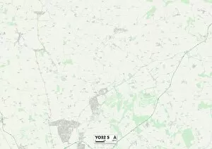
Background imageSt Marys Close Collection: York YO32 5 Map

York YO32 5 Map
Postcode Sector Map of York YO32 5

Background imageSt Marys Close Collection: York YO32 2 Map

York YO32 2 Map
Postcode Sector Map of York YO32 2

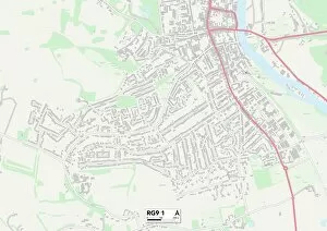
Background imageSt Marys Close Collection: South Oxfordshire RG9 1 Map

South Oxfordshire RG9 1 Map
Postcode Sector Map of South Oxfordshire RG9 1

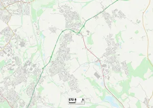
Background imageSt Marys Close Collection: Barnsley S72 8 Map

Barnsley S72 8 Map
Postcode Sector Map of Barnsley S72 8

Background imageSt Marys Close Collection: Sevenoaks TN15 8 Map

Sevenoaks TN15 8 Map
Postcode Sector Map of Sevenoaks TN15 8

Background imageSt Marys Close Collection: South Buckinghamshire UB9 6 Map

South Buckinghamshire UB9 6 Map
Postcode Sector Map of South Buckinghamshire UB9 6

Background imageSt Marys Close Collection: Staffordshire ST7 2 Map

Staffordshire ST7 2 Map
Postcode Sector Map of Staffordshire ST7 2

Background imageSt Marys Close Collection: Somerset TA7 8 Map

Somerset TA7 8 Map
Postcode Sector Map of Somerset TA7 8

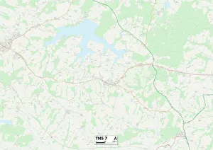
Background imageSt Marys Close Collection: Rother TN5 7 Map

Rother TN5 7 Map
Postcode Sector Map of Rother TN5 7


All Professionally Made to Order for Quick Shipping

"Discover the hidden gems of St Mary's Close, scattered across various locations in the UK. From Leeds LS7 3 to Wolverhampton WV10 7, Somerset TA19 0 to Horsham RH20 3, and Cornwall PL31 1 to Thurrock RM17 6 - this captivating journey takes you through picturesque landscapes. Explore the historical charm of Huntingdonshire PE28 3 and South Gloucestershire BS30 8, or immerse yourself in the vibrant city life of Birmingham B24 0. Marvel at the architectural wonders found in Wolverhampton WV7 3 and Leeds WF3 1, or soak up the tranquility of North Yorkshire YO7 Each location on this map holds its own unique story waiting to be unraveled. Embark on a thrilling adventure as you navigate your way through St Mary's Close - a tapestry woven with history, beauty, and endless possibilities. "